Distance between  Mollymook and
  Hazelbrook
111.81 mi Straight Distance
175.26 mi Driving Distance
3 hours 6 mins Estimated Driving Time
The straight distance between Mollymook (New South Wales) and Hazelbrook (New South Wales) is 111.81 mi, but the driving distance is 175.26 mi.
It takes 3 hours 26 mins to go from Mollymook to Hazelbrook.
Driving directions from Mollymook to Hazelbrook
Distance in kilometers
Straight distance: 179.91 km. Route distance: 281.99 km
Mollymook, Australia
Latitude: -35.3397 // Longitude: 150.473
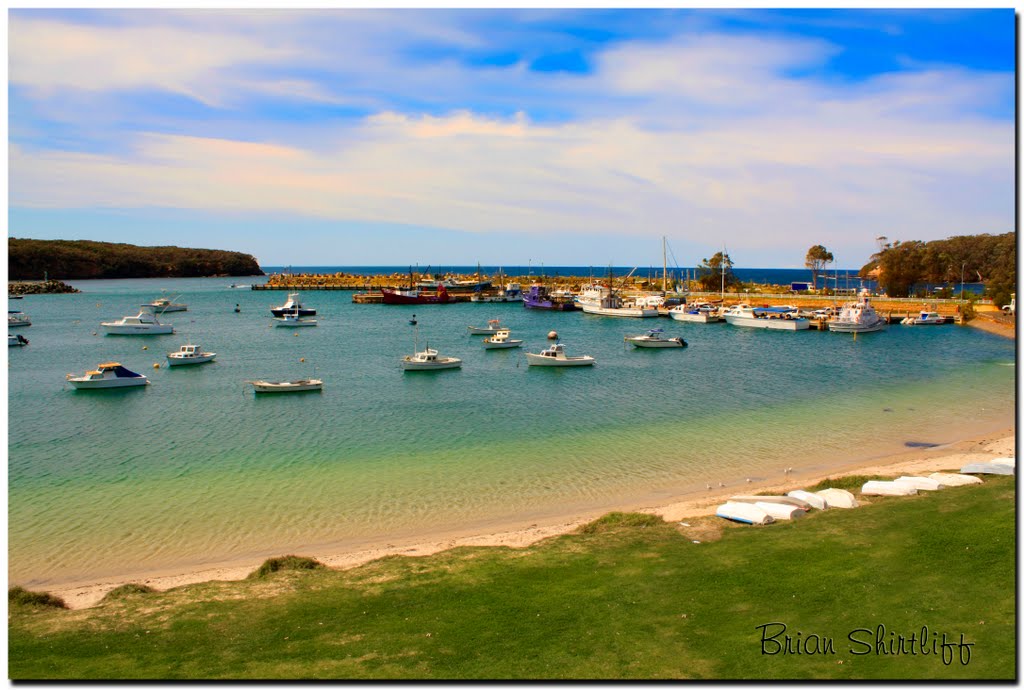
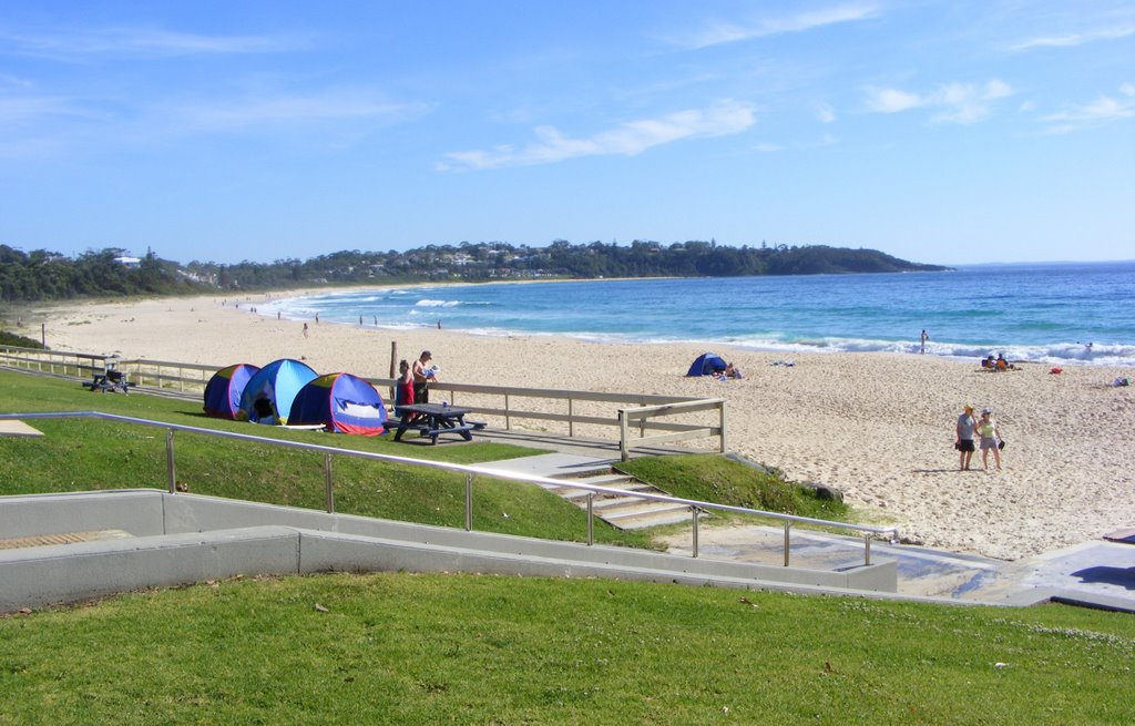
Photos of Mollymook
Mollymook Weather

Predicción: Overcast clouds
Temperatura: 17.3°
Humedad: 65%
Hora actual: 10:30 AM
Amanece: 06:25 AM
Anochece: 05:28 PM
Hazelbrook, Australia
Latitude: -33.7215 // Longitude: 150.453
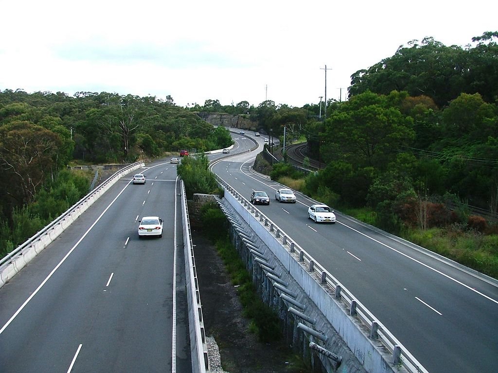
Photos of Hazelbrook
Hazelbrook Weather

Predicción: Light rain
Temperatura: 15.2°
Humedad: 61%
Hora actual: 10:30 AM
Amanece: 06:23 AM
Anochece: 05:30 PM


