Distance between  Moliagul and
  Nyrraby
108.02 mi Straight Distance
146.75 mi Driving Distance
2 hours 25 mins Estimated Driving Time
The straight distance between Moliagul (Victoria) and Nyrraby (Victoria) is 108.02 mi, but the driving distance is 146.75 mi.
It takes to go from Moliagul to Nyrraby.
Driving directions from Moliagul to Nyrraby
Distance in kilometers
Straight distance: 173.80 km. Route distance: 236.12 km
Moliagul, Australia
Latitude: -36.7499 // Longitude: 143.661
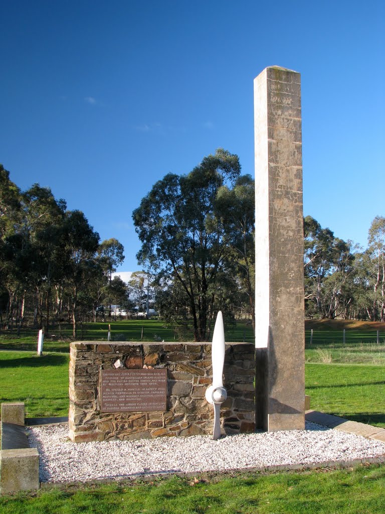
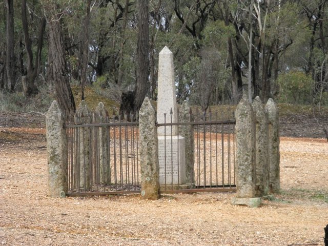
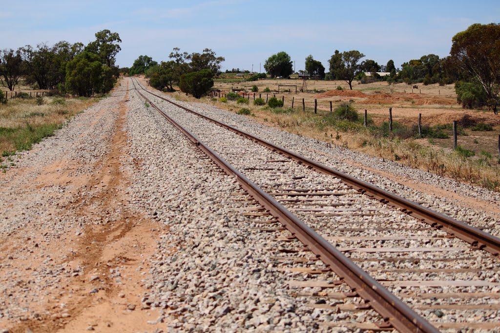
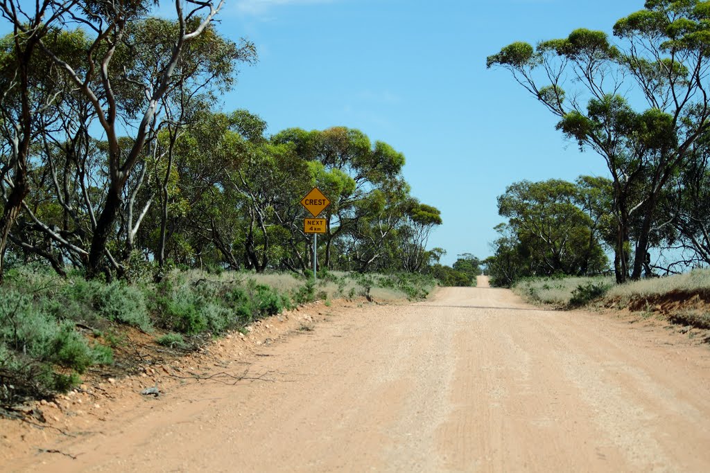
Photos of Moliagul
Moliagul Weather

Predicción: Overcast clouds
Temperatura: 10.9°
Humedad: 80%
Hora actual: 12:00 AM
Amanece: 08:54 PM
Anochece: 07:55 AM
Nyrraby, Australia
Latitude: -35.223 // Longitude: 143.246
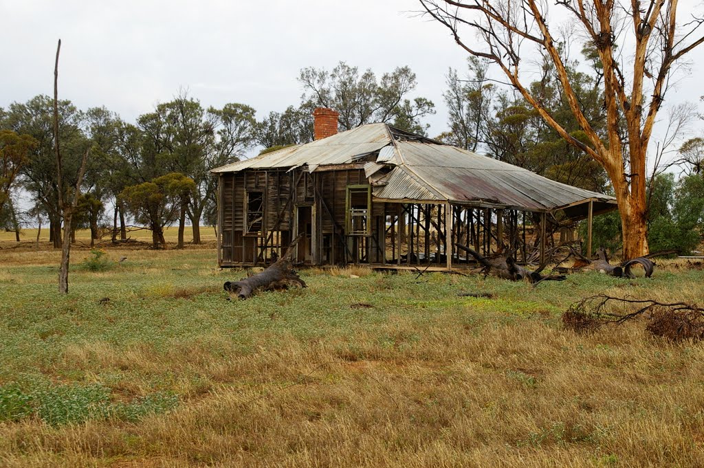
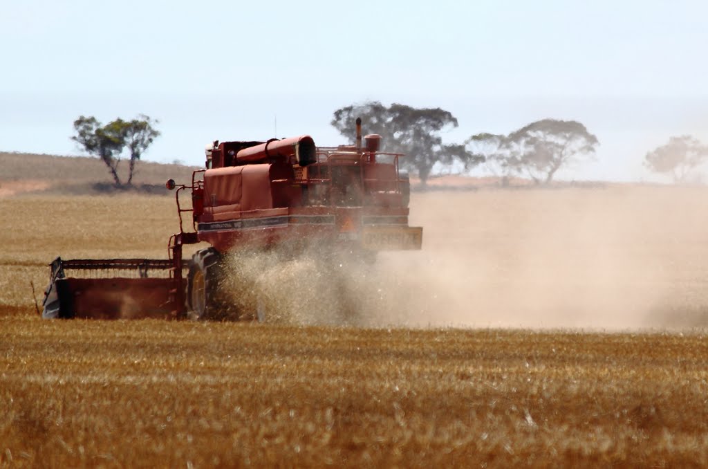
Photos of Nyrraby
Nyrraby Weather

Predicción: Overcast clouds
Temperatura: 12.6°
Humedad: 75%
Hora actual: 12:00 AM
Amanece: 08:53 PM
Anochece: 07:58 AM


