Distance between  Moira and
  Jindera
114.34 mi Straight Distance
154.33 mi Driving Distance
2 hours 40 mins Estimated Driving Time
The straight distance between Moira (New South Wales) and Jindera (New South Wales) is 114.34 mi, but the driving distance is 154.33 mi.
It takes to go from Moira to Jindera.
Driving directions from Moira to Jindera
Distance in kilometers
Straight distance: 183.98 km. Route distance: 248.32 km
Moira, Australia
Latitude: -35.9328 // Longitude: 144.845
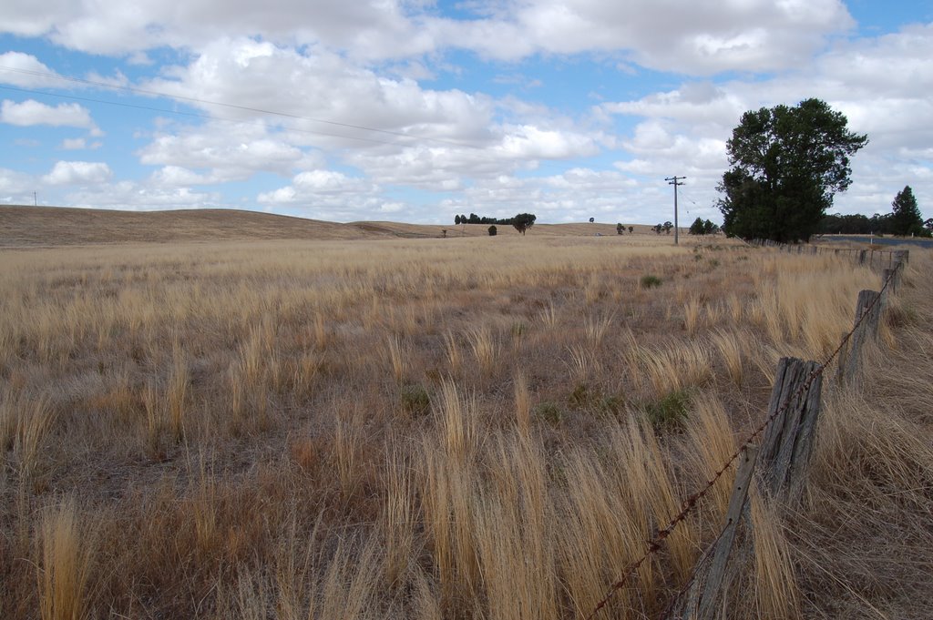
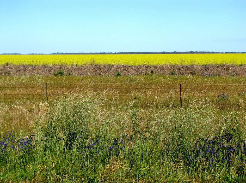
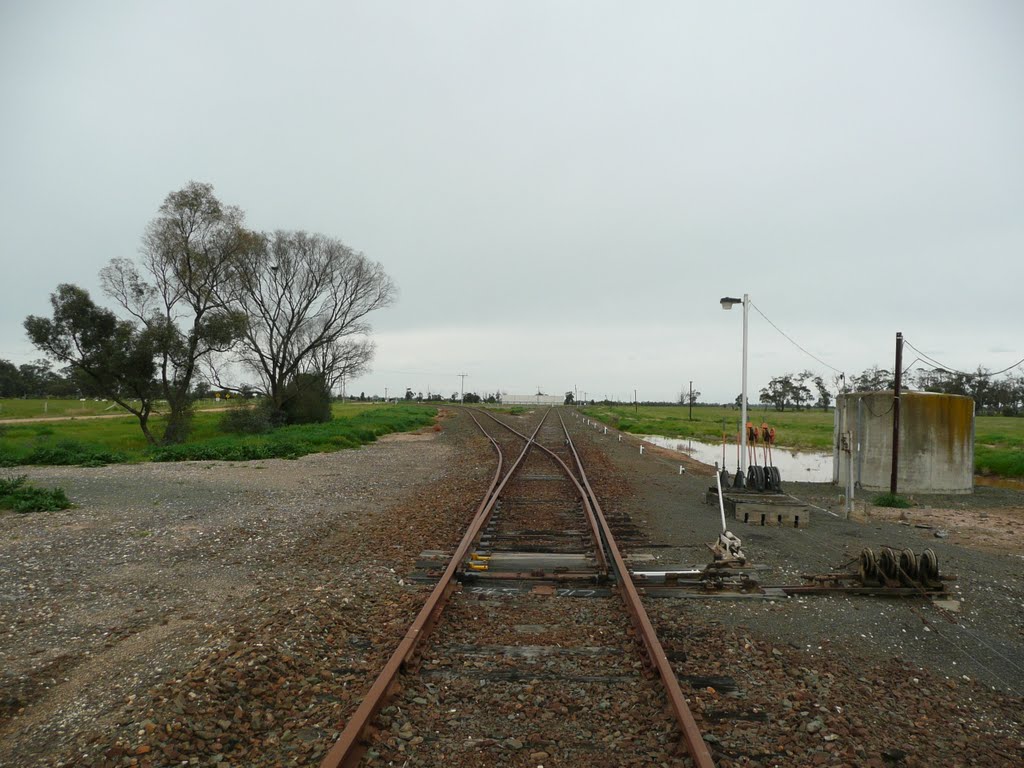
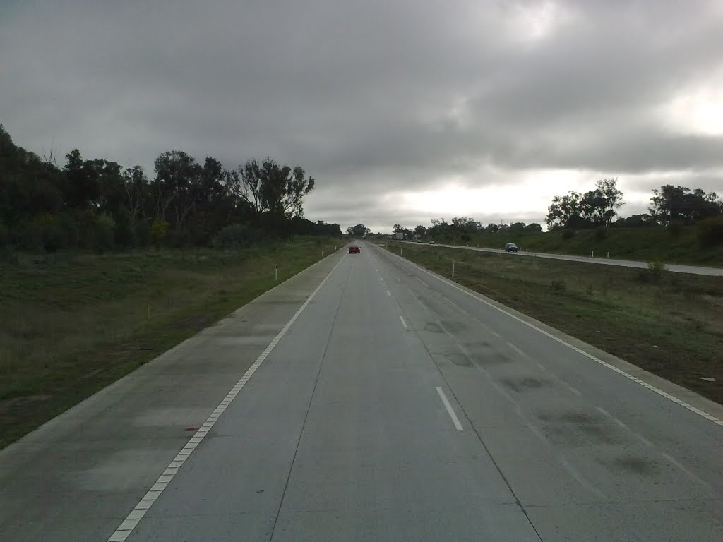
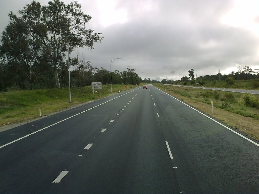
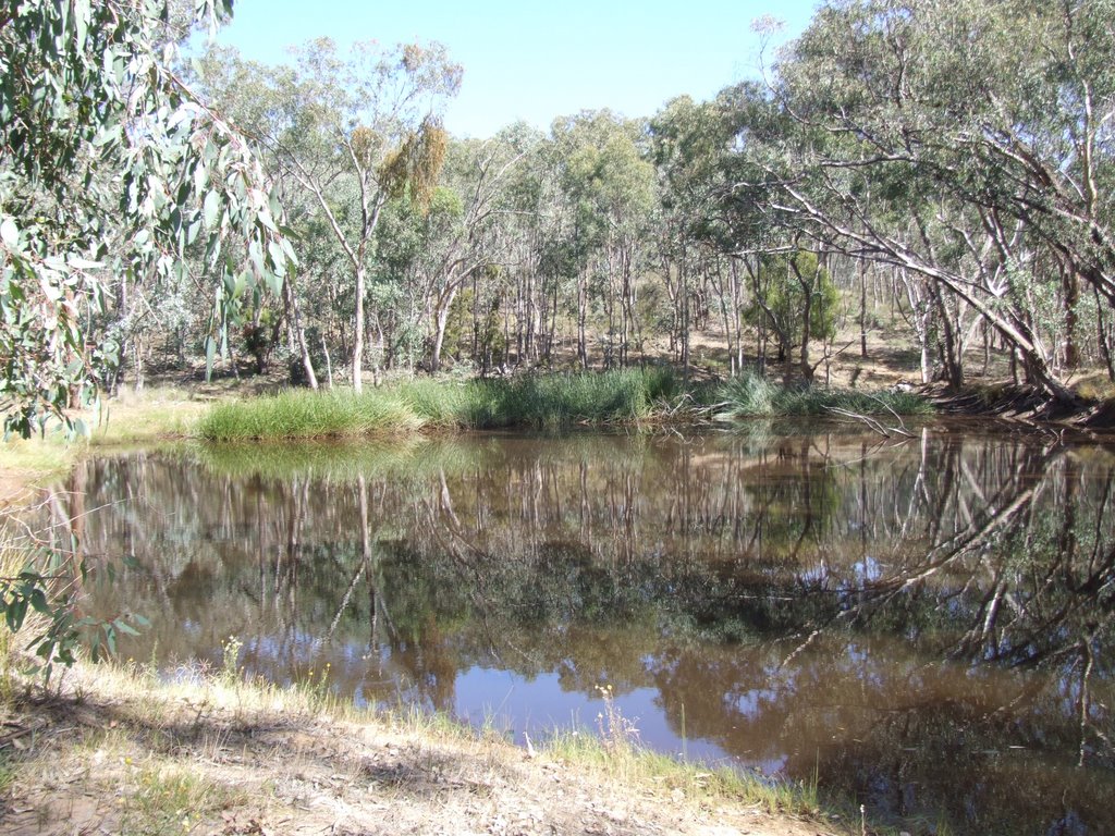
Photos of Moira
Moira Weather

Predicción: Scattered clouds
Temperatura: 16.1°
Humedad: 37%
Hora actual: 12:00 AM
Amanece: 08:48 PM
Anochece: 07:51 AM
Jindera, Australia
Latitude: -35.9547 // Longitude: 146.889
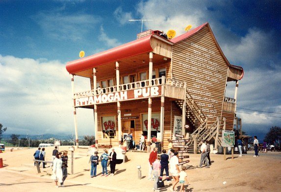
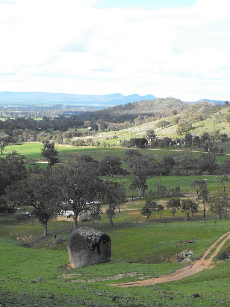
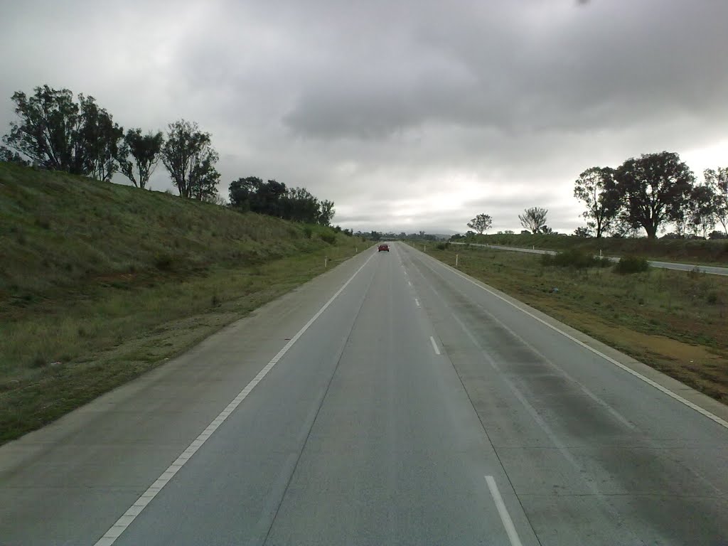
Photos of Jindera
Jindera Weather

Predicción: Few clouds
Temperatura: 16.8°
Humedad: 100%
Hora actual: 05:33 PM
Amanece: 06:39 AM
Anochece: 05:43 PM


