Distance between  Moglonemby and
  Tarrawingee
53.01 mi Straight Distance
60.44 mi Driving Distance
1 hour 4 mins Estimated Driving Time
The straight distance between Moglonemby (Victoria) and Tarrawingee (Victoria) is 53.01 mi, but the driving distance is 60.44 mi.
It takes to go from Moglonemby to Tarrawingee.
Driving directions from Moglonemby to Tarrawingee
Distance in kilometers
Straight distance: 85.30 km. Route distance: 97.25 km
Moglonemby, Australia
Latitude: -36.6419 // Longitude: 145.543
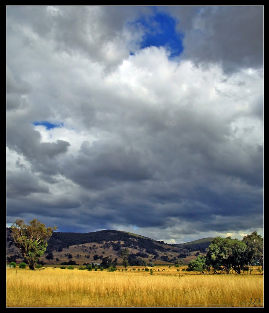
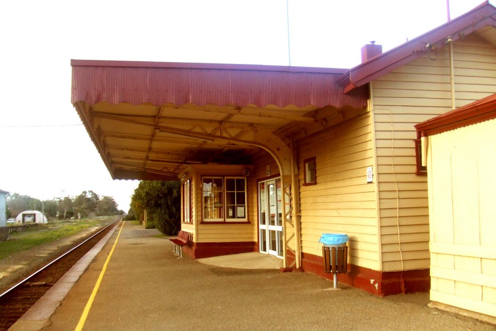
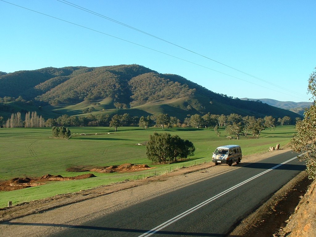
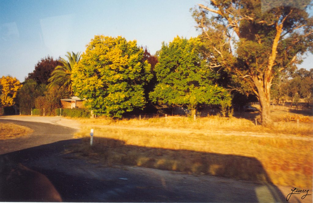
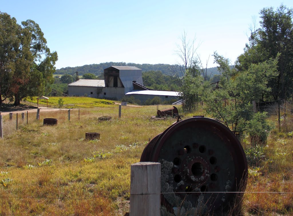
Photos of Moglonemby
Moglonemby Weather

Predicción: Broken clouds
Temperatura: 9.9°
Humedad: 88%
Hora actual: 12:00 AM
Amanece: 08:44 PM
Anochece: 07:50 AM
Tarrawingee, Australia
Latitude: -36.3906 // Longitude: 146.445
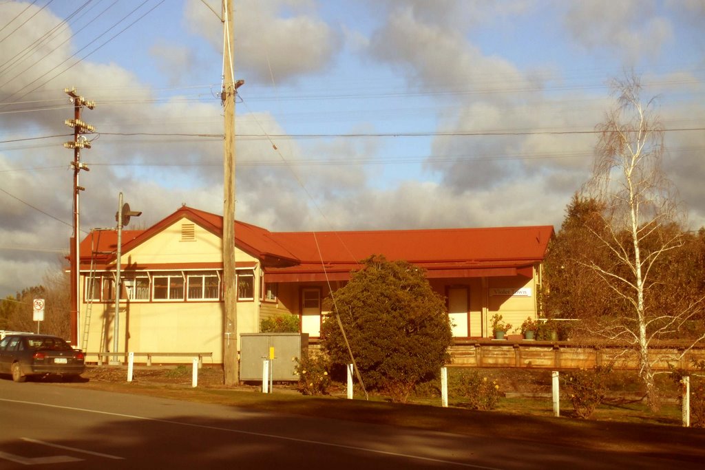
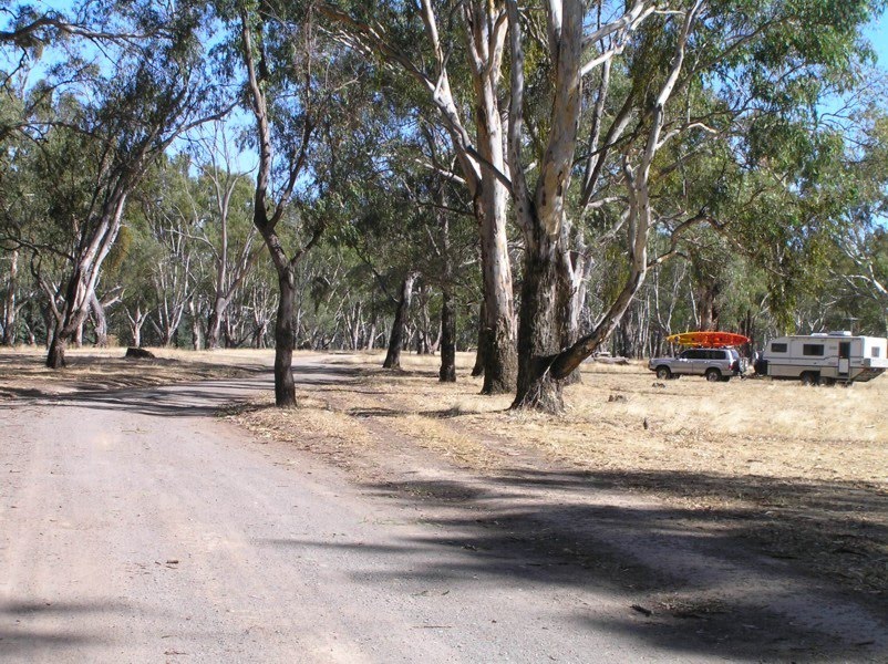
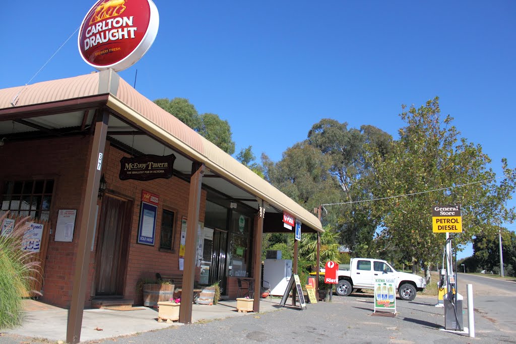
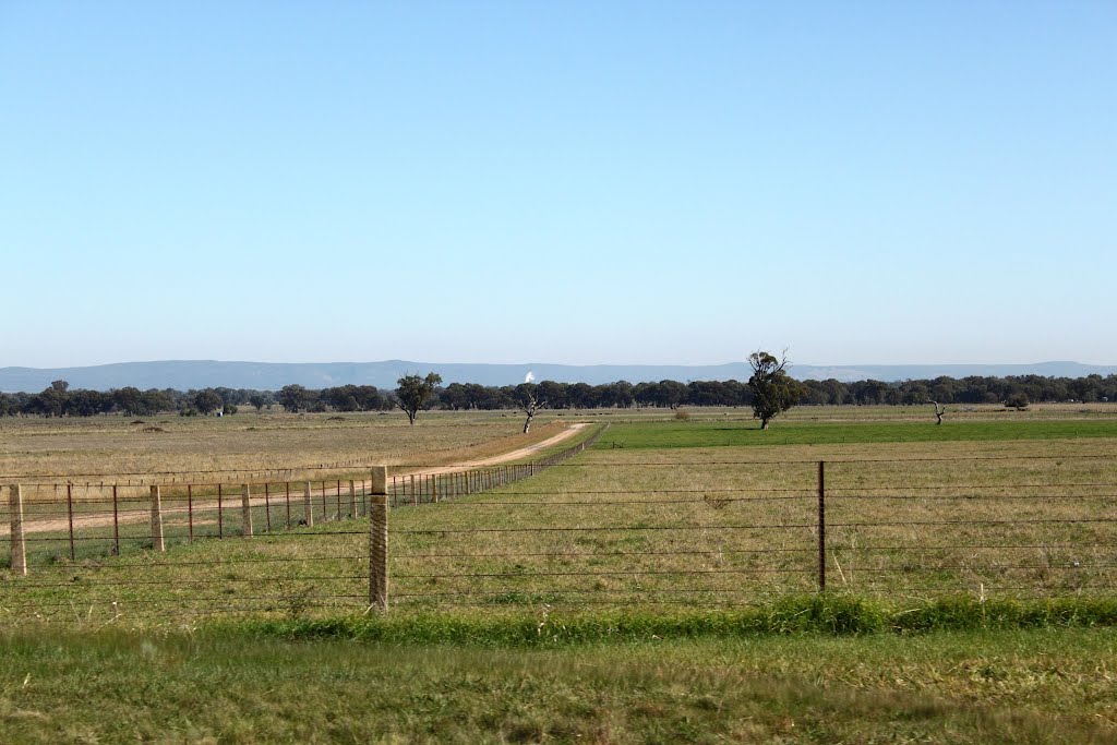
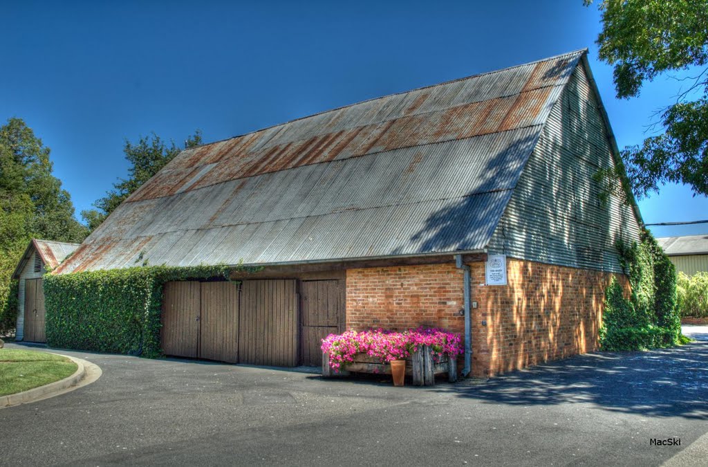
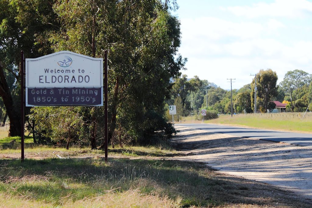
Photos of Tarrawingee
Tarrawingee Weather

Predicción: Overcast clouds
Temperatura: 9.8°
Humedad: 80%
Hora actual: 06:50 AM
Amanece: 06:41 AM
Anochece: 05:46 PM


