Distance between  Modanville and
  Dirnaseer
524.99 mi Straight Distance
676.26 mi Driving Distance
12 hours 17 mins Estimated Driving Time
The straight distance between Modanville (New South Wales) and Dirnaseer (New South Wales) is 524.99 mi, but the driving distance is 676.26 mi.
It takes to go from Modanville to Dirnaseer.
Driving directions from Modanville to Dirnaseer
Distance in kilometers
Straight distance: 844.70 km. Route distance: 1,088.11 km
Modanville, Australia
Latitude: -28.7157 // Longitude: 153.298
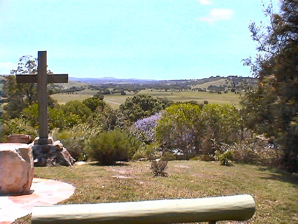
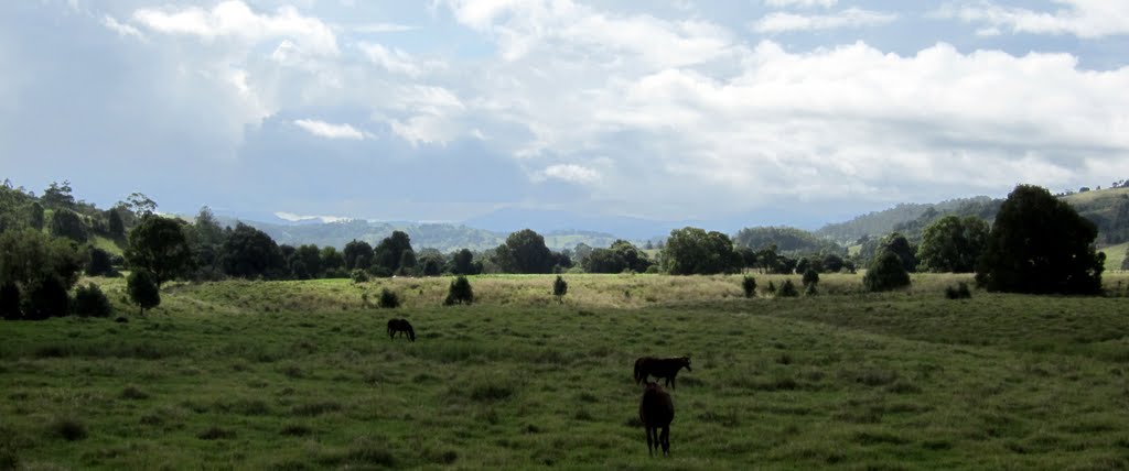
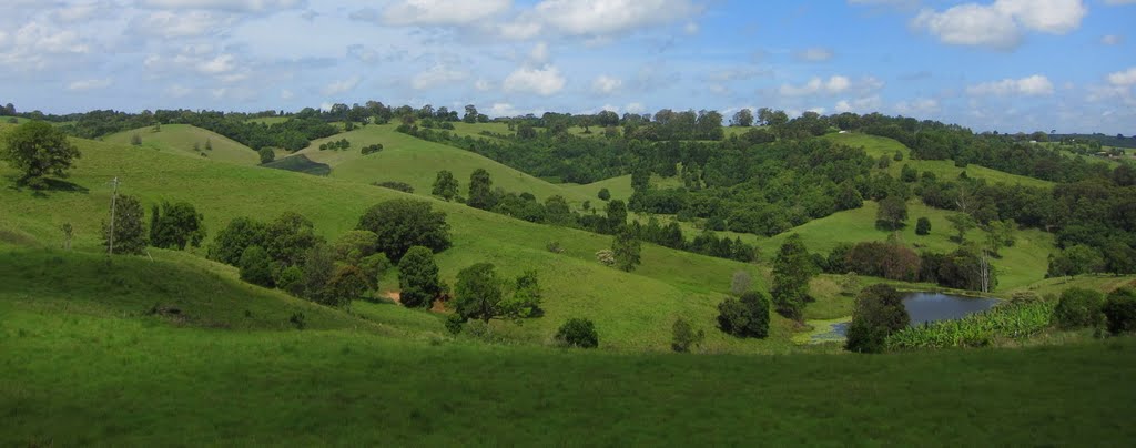
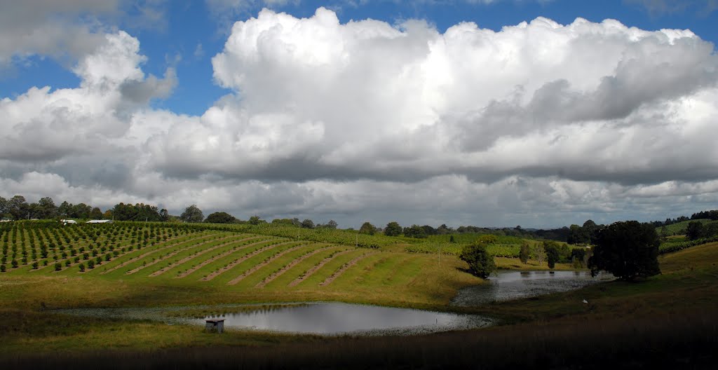
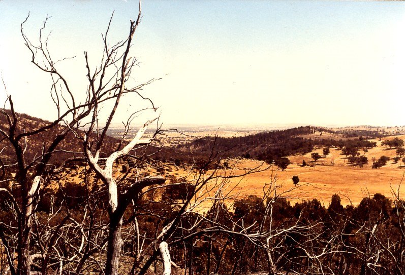
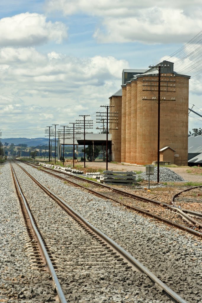
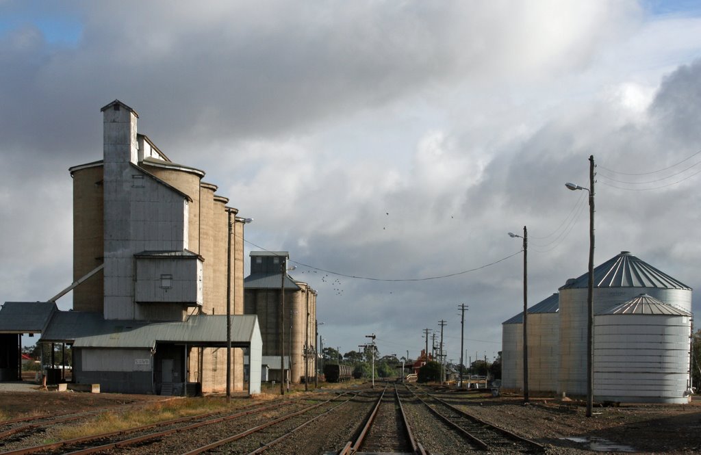
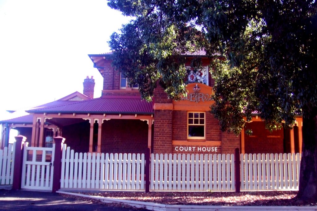
Photos of Modanville
Modanville Weather

Predicción: Clear sky
Temperatura: 21.7°
Humedad: 76%
Hora actual: 10:31 AM
Amanece: 06:07 AM
Anochece: 05:24 PM
Dirnaseer, Australia
Latitude: -34.6341 // Longitude: 147.693
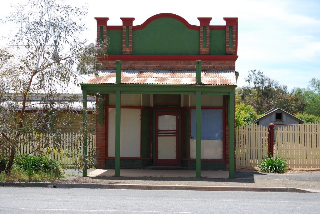
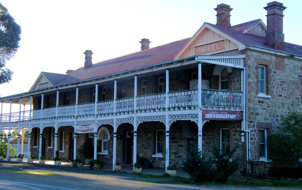
Photos of Dirnaseer
Dirnaseer Weather

Predicción: Scattered clouds
Temperatura: 15.4°
Humedad: 57%
Hora actual: 10:00 AM
Amanece: 06:35 AM
Anochece: 05:40 PM


