Distance between  Mitre and
  Mitchells Hill
68 mi Straight Distance
78.25 mi Driving Distance
1 hour 21 mins Estimated Driving Time
The straight distance between Mitre (Victoria) and Mitchells Hill (Victoria) is 68 mi, but the driving distance is 78.25 mi.
It takes to go from Mitre to Mitchells Hill.
Driving directions from Mitre to Mitchells Hill
Distance in kilometers
Straight distance: 109.40 km. Route distance: 125.90 km
Mitre, Australia
Latitude: -36.7285 // Longitude: 141.782
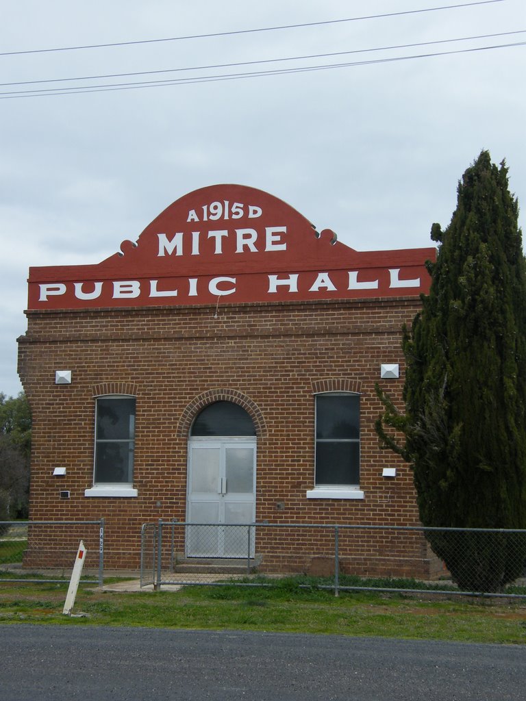
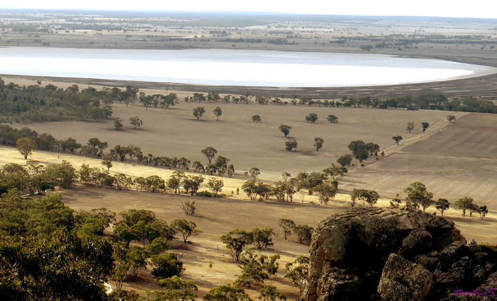
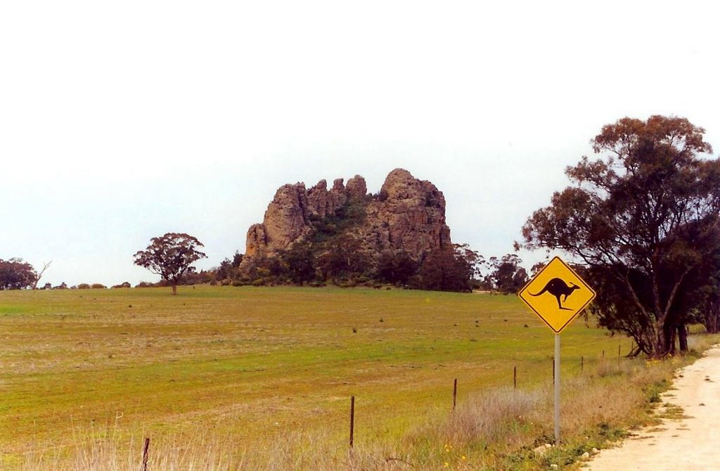
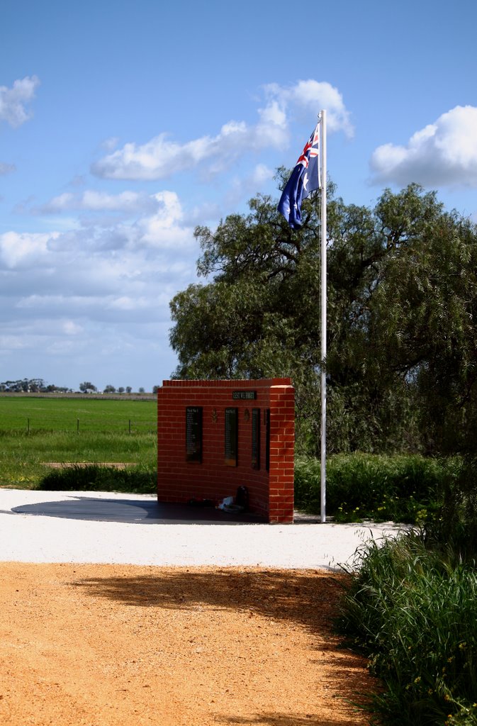
Photos of Mitre
Mitre Weather

Predicción: Broken clouds
Temperatura: 13.3°
Humedad: 81%
Hora actual: 12:00 AM
Amanece: 08:59 PM
Anochece: 08:05 AM
Mitchells Hill, Australia
Latitude: -36.61 // Longitude: 143
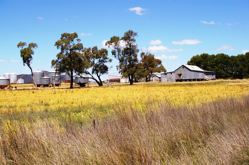
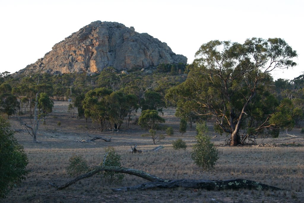
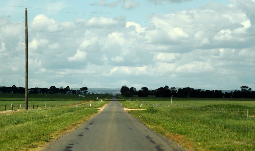
Photos of Mitchells Hill
Mitchells Hill Weather

Predicción: Overcast clouds
Temperatura: 15.6°
Humedad: 64%
Hora actual: 12:00 AM
Amanece: 08:54 PM
Anochece: 08:00 AM


