Distance between  Minlaton and
  Loxton
170.55 mi Straight Distance
236.39 mi Driving Distance
3 hours 50 mins Estimated Driving Time
The straight distance between Minlaton (South Australia) and Loxton (South Australia) is 170.55 mi, but the driving distance is 236.39 mi.
It takes 4 hours 25 mins to go from Minlaton to Loxton.
Driving directions from Minlaton to Loxton
Distance in kilometers
Straight distance: 274.41 km. Route distance: 380.35 km
Minlaton, Australia
Latitude: -34.7699 // Longitude: 137.596
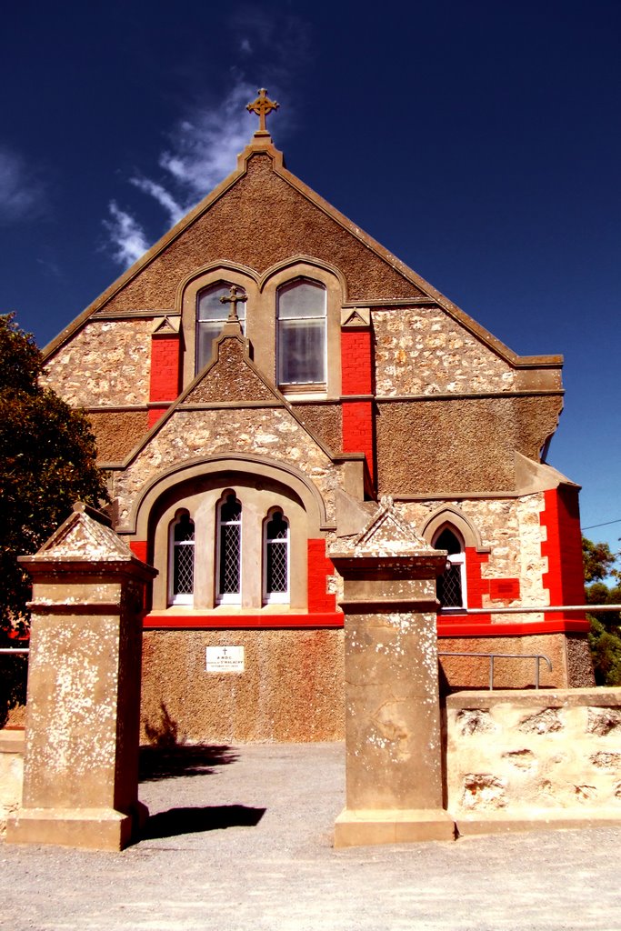
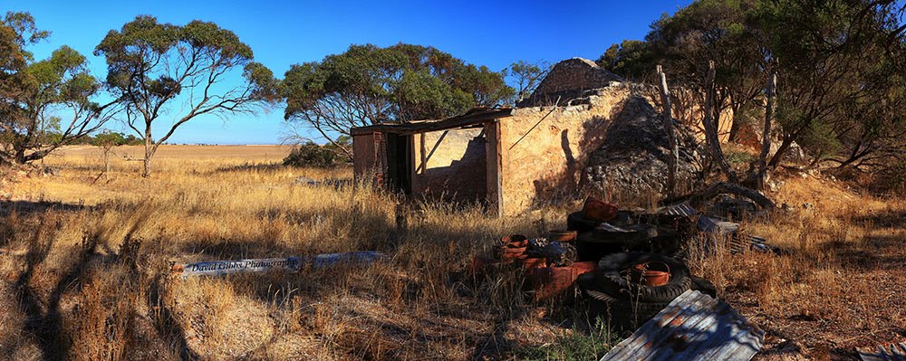
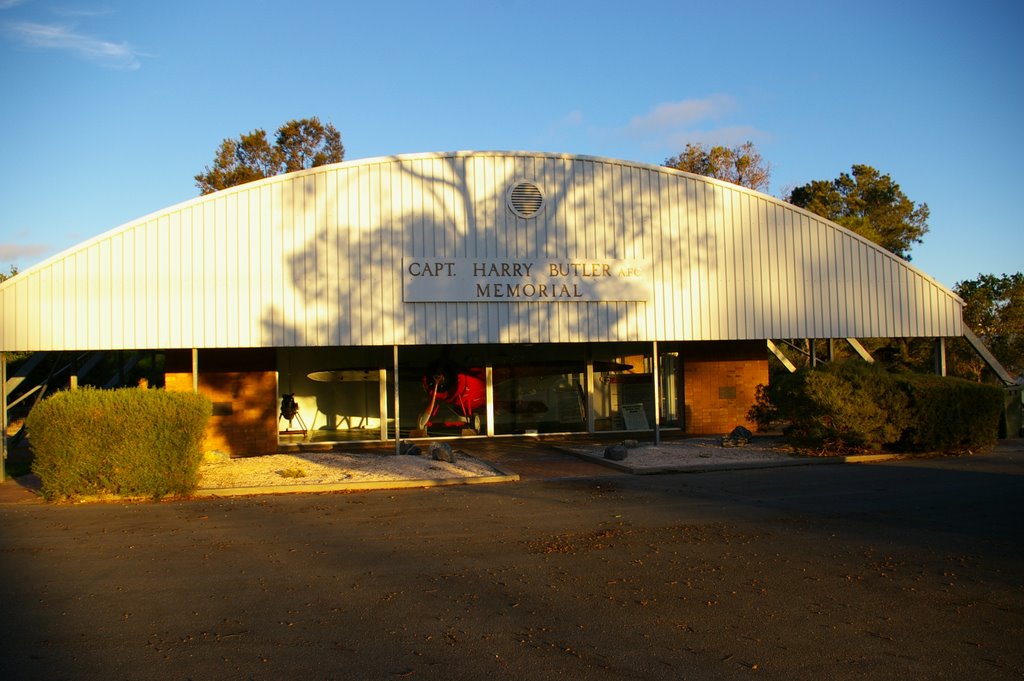
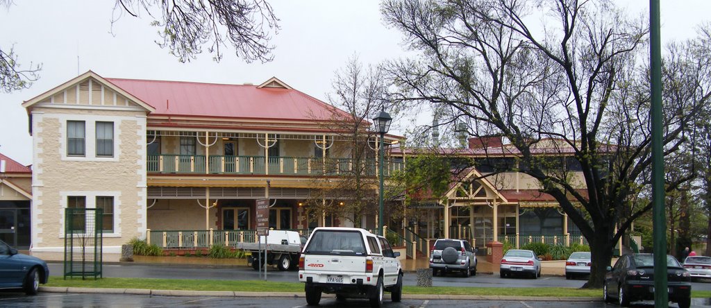
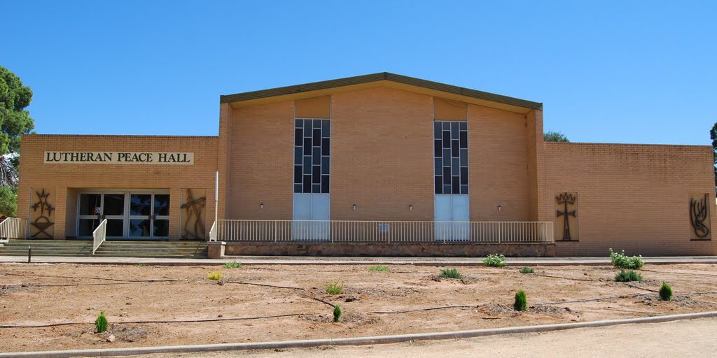
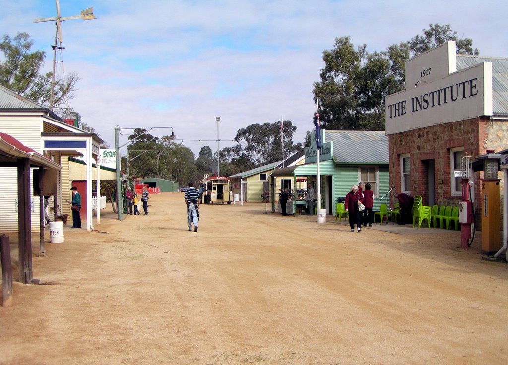
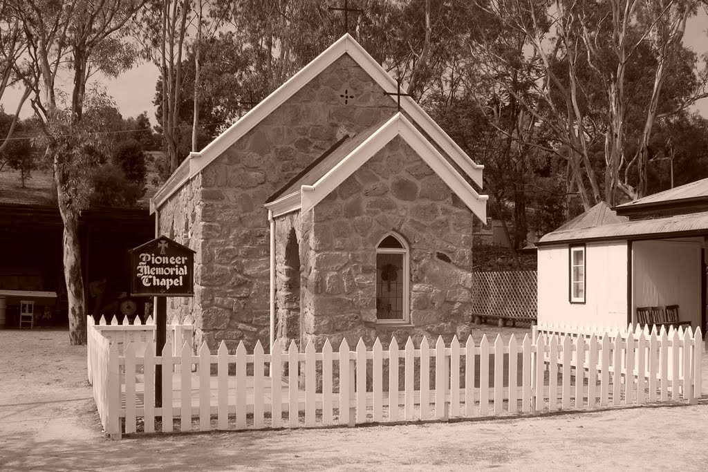
Photos of Minlaton
Minlaton Weather

Predicción: Overcast clouds
Temperatura: 16.7°
Humedad: 53%
Hora actual: 10:40 AM
Amanece: 06:46 AM
Anochece: 05:50 PM
Loxton, Australia
Latitude: -34.4504 // Longitude: 140.57
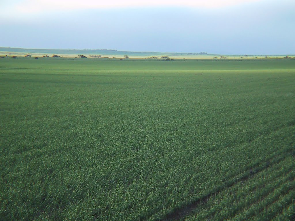
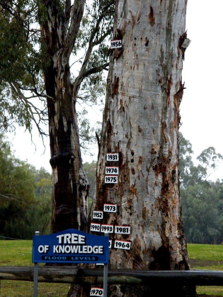
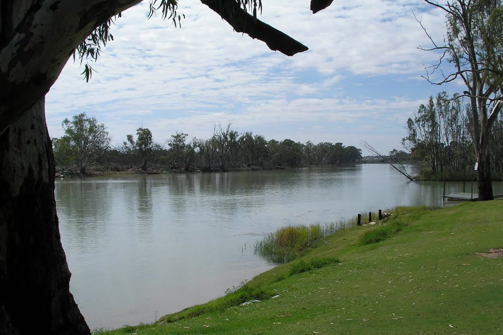
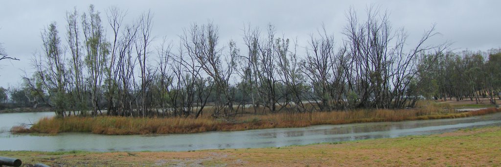
Photos of Loxton
Loxton Weather

Predicción: Overcast clouds
Temperatura: 15.2°
Humedad: 49%
Hora actual: 10:40 AM
Amanece: 06:34 AM
Anochece: 05:39 PM


