Distance between  Minhamite and
  Uralla
727.56 mi Straight Distance
917.84 mi Driving Distance
15 hours 4 mins Estimated Driving Time
The straight distance between Minhamite (Victoria) and Uralla (New South Wales) is 727.56 mi, but the driving distance is 917.84 mi.
It takes to go from Minhamite to Uralla.
Driving directions from Minhamite to Uralla
Distance in kilometers
Straight distance: 1,170.65 km. Route distance: 1,476.81 km
Minhamite, Australia
Latitude: -37.9914 // Longitude: 142.353
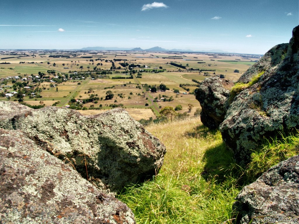
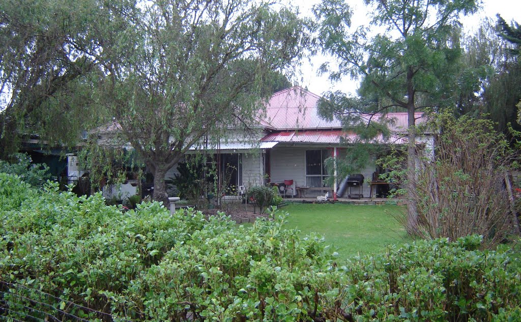
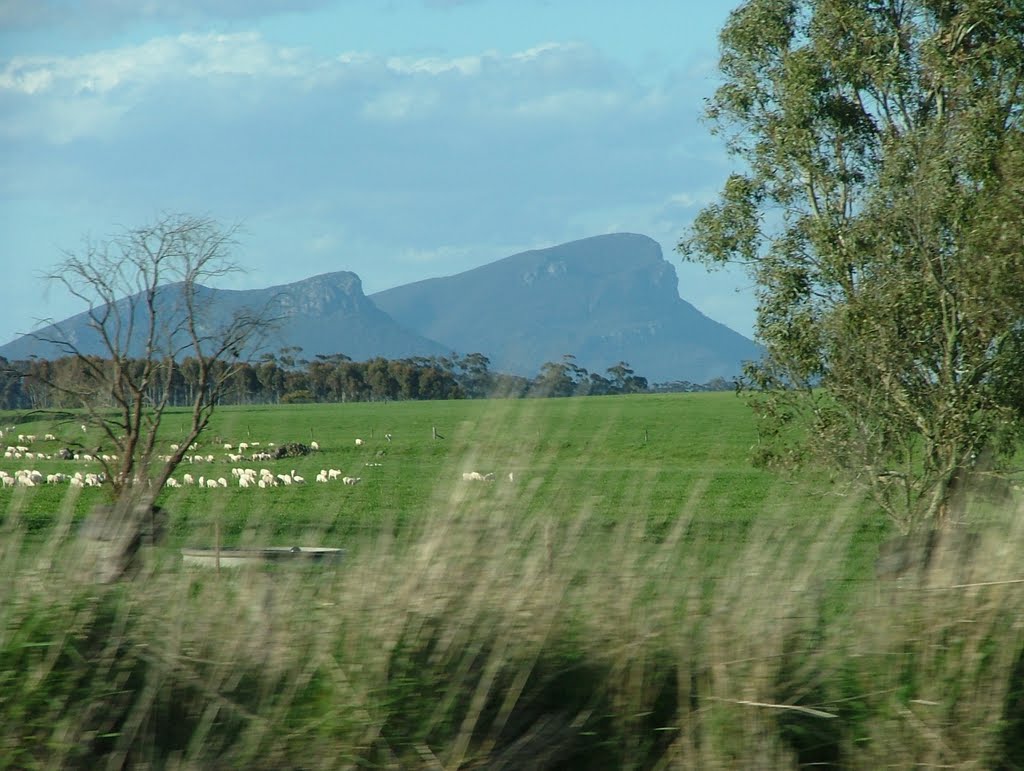
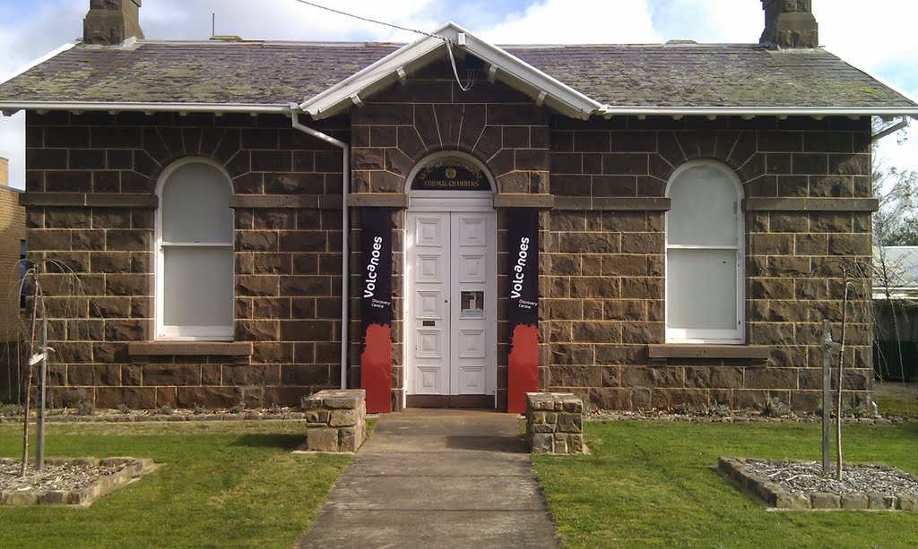
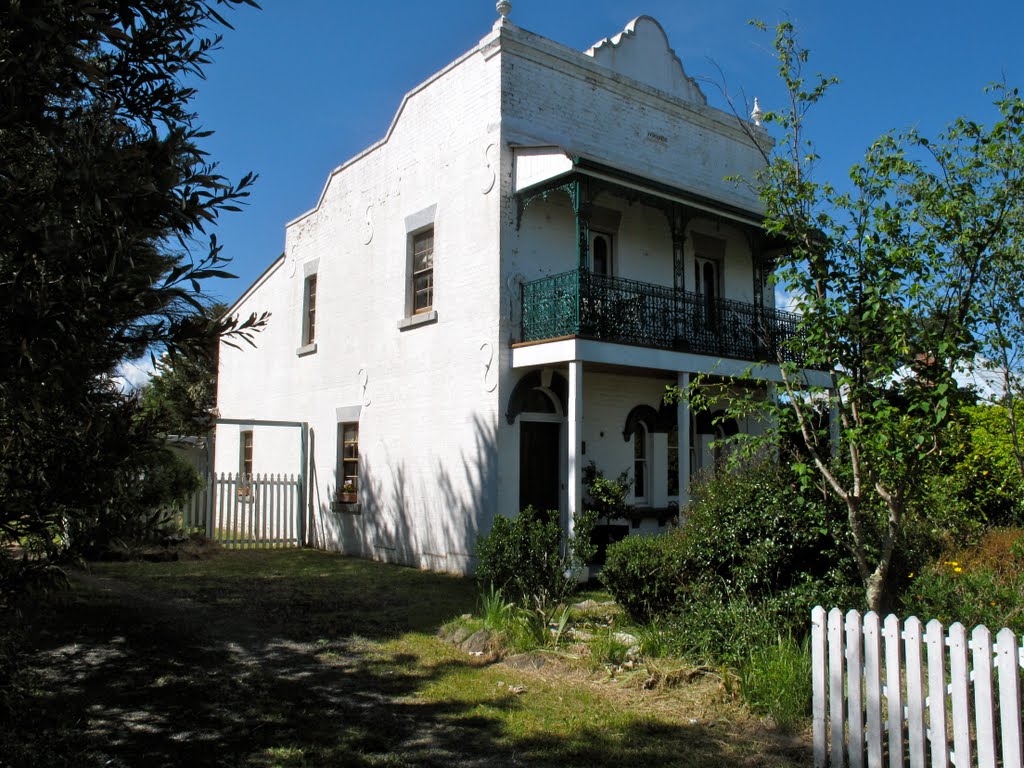
Photos of Minhamite
Minhamite Weather

Predicción: Light rain
Temperatura: 10.3°
Humedad: 89%
Hora actual: 12:00 AM
Amanece: 08:58 PM
Anochece: 08:01 AM
Uralla, Australia
Latitude: -30.6414 // Longitude: 151.501
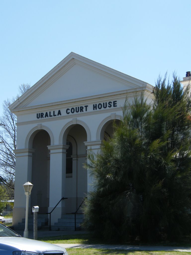
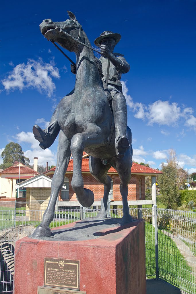
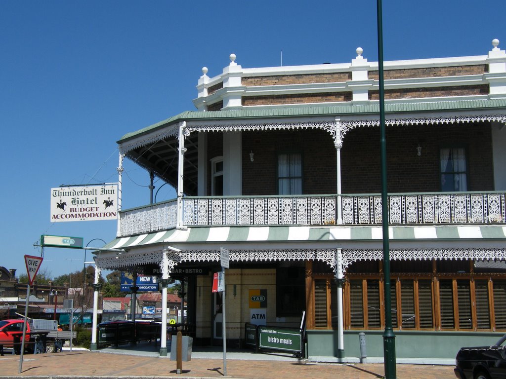
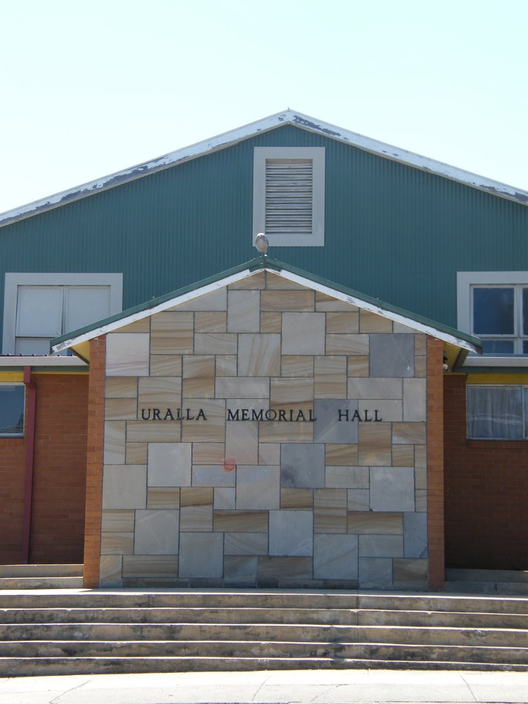
Photos of Uralla
Uralla Weather

Predicción: Clear sky
Temperatura: 10.4°
Humedad: 87%
Hora actual: 04:19 AM
Amanece: 06:15 AM
Anochece: 05:32 PM


