Distance between  Milton and
  Milbrulong
202.62 mi Straight Distance
312.10 mi Driving Distance
5 hours 14 mins Estimated Driving Time
The straight distance between Milton (New South Wales) and Milbrulong (New South Wales) is 202.62 mi, but the driving distance is 312.10 mi.
It takes to go from Milton to Milbrulong.
Driving directions from Milton to Milbrulong
Distance in kilometers
Straight distance: 326.02 km. Route distance: 502.17 km
Milton, Australia
Latitude: -35.3158 // Longitude: 150.435
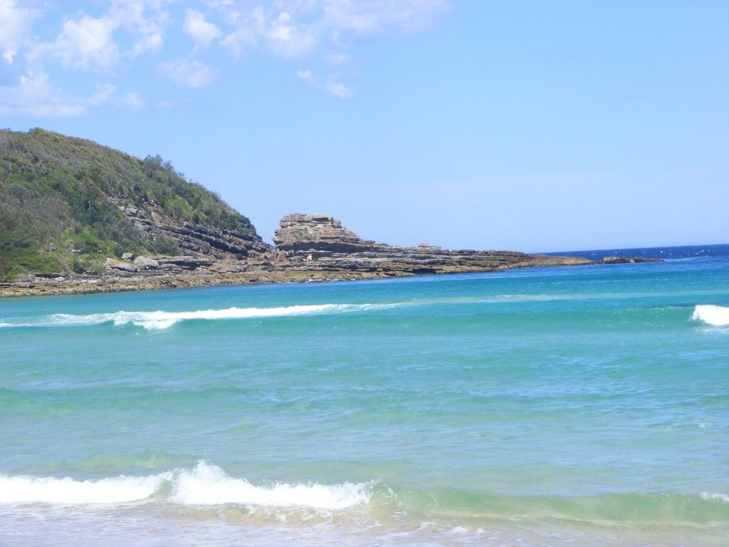
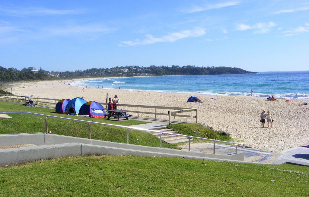
Photos of Milton
Milton Weather

Predicción: Light rain
Temperatura: 17.6°
Humedad: 64%
Hora actual: 11:26 AM
Amanece: 06:25 AM
Anochece: 05:28 PM
Milbrulong, Australia
Latitude: -35.2553 // Longitude: 146.843
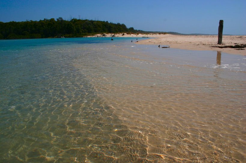
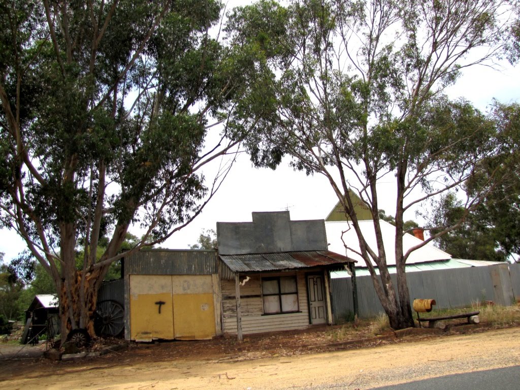
Photos of Milbrulong
Milbrulong Weather

Predicción: Scattered clouds
Temperatura: 17.7°
Humedad: 54%
Hora actual: 10:00 AM
Amanece: 06:40 AM
Anochece: 05:43 PM


