Distance between  Mildura and
  Nandaly
82.57 mi Straight Distance
96.78 mi Driving Distance
1 hour 29 mins Estimated Driving Time
The straight distance between Mildura (Victoria) and Nandaly (Victoria) is 82.57 mi, but the driving distance is 96.78 mi.
It takes 1 hour 37 mins to go from Mildura to Nandaly.
Driving directions from Mildura to Nandaly
Distance in kilometers
Straight distance: 132.85 km. Route distance: 155.72 km
Mildura, Australia
Latitude: -34.2063 // Longitude: 142.136
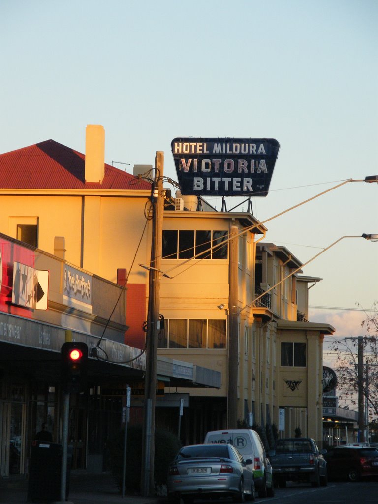
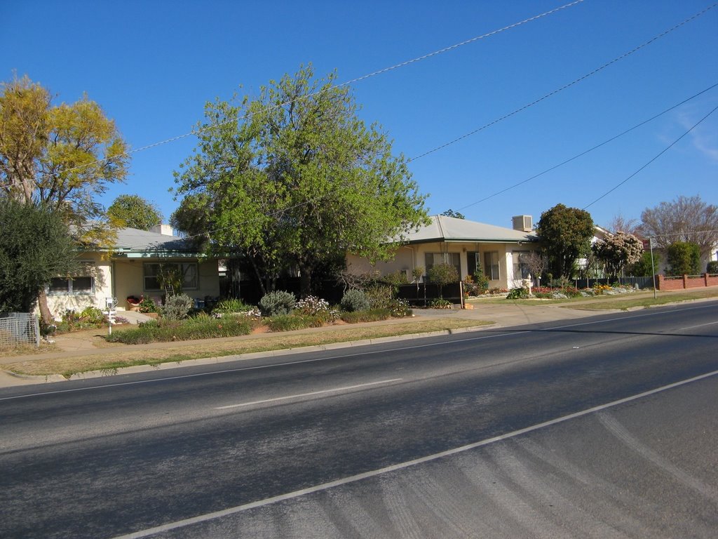
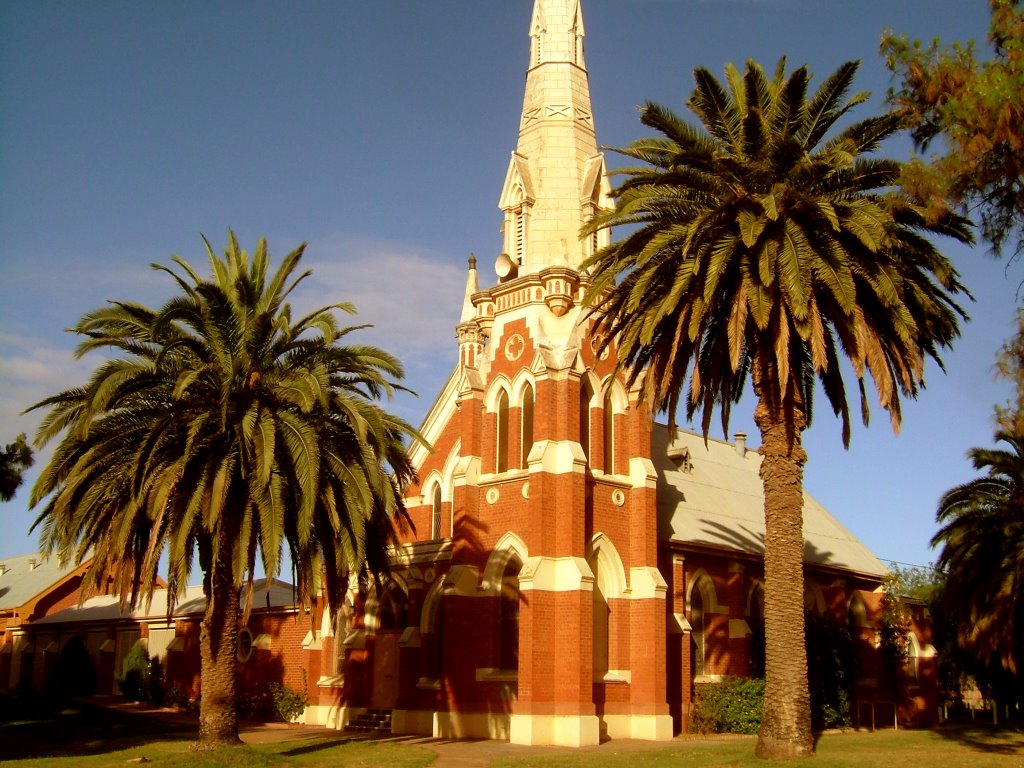
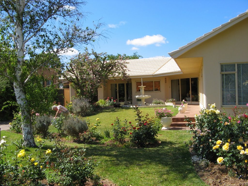
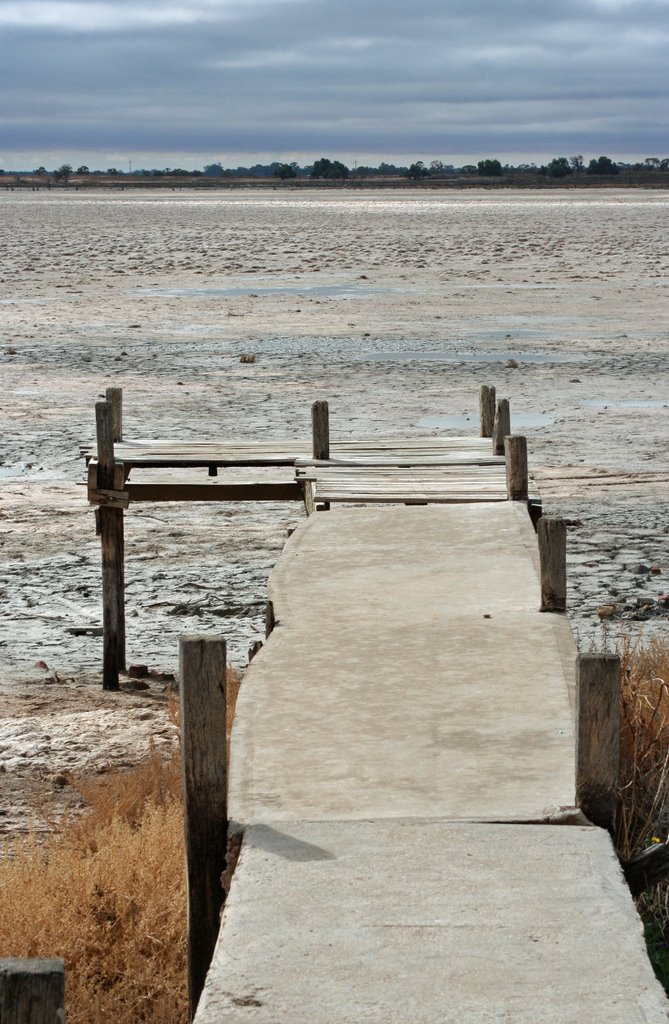
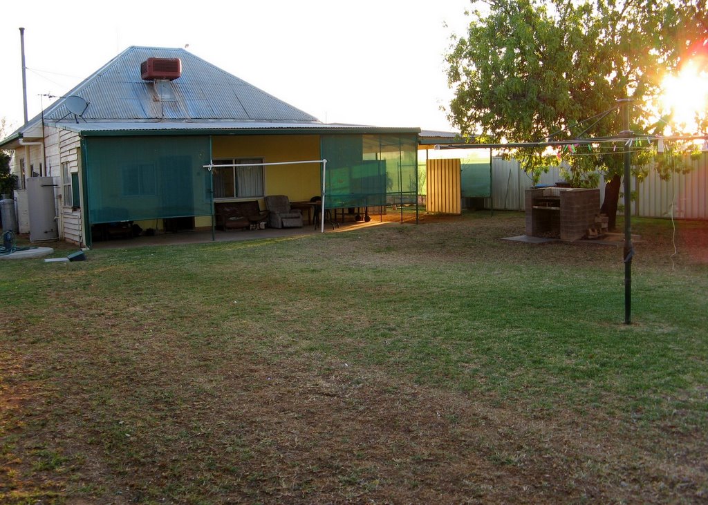
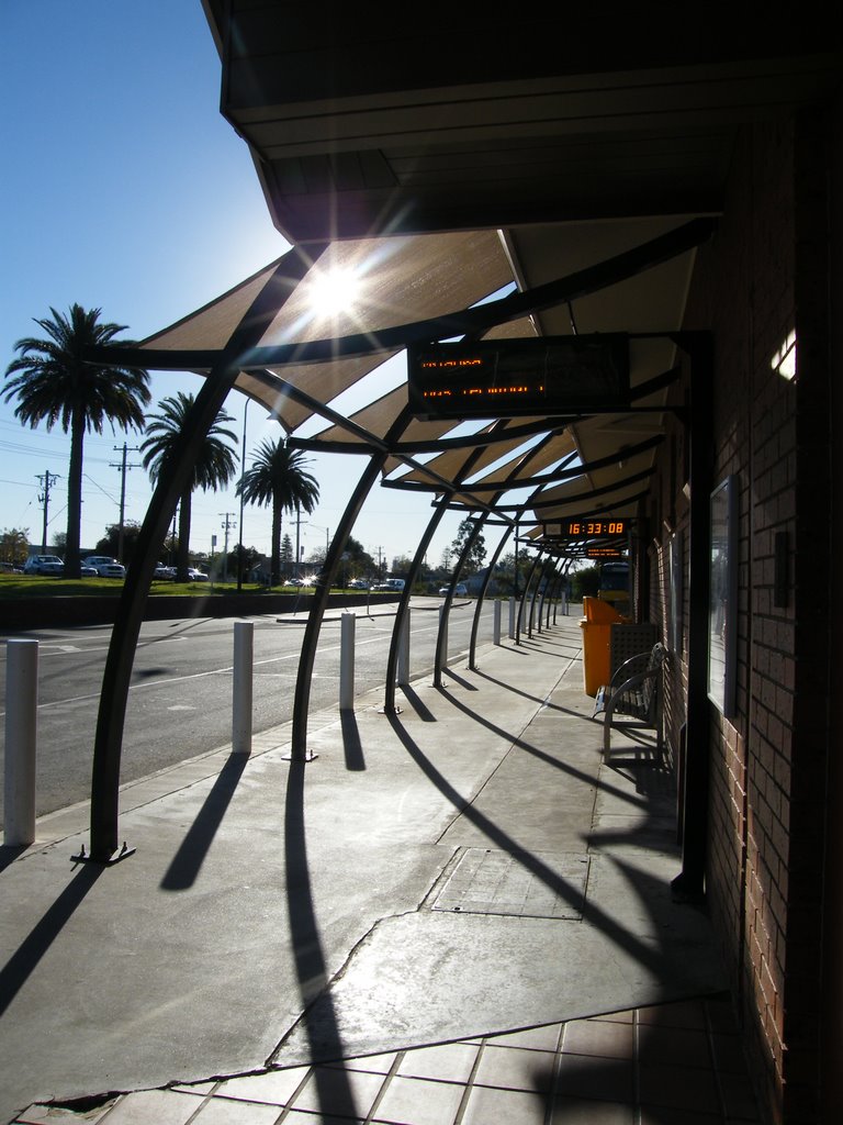
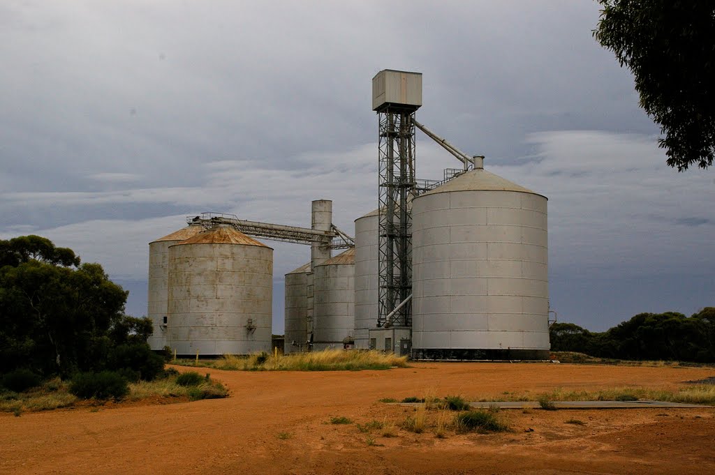
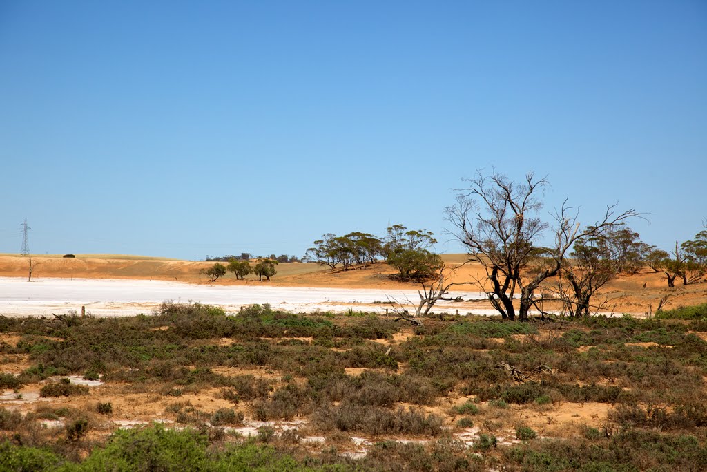
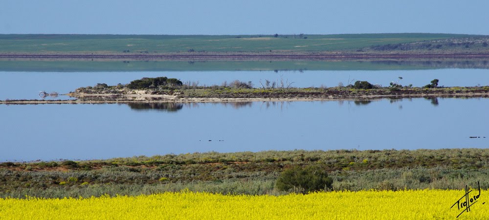
Photos of Mildura
Mildura Weather

Predicción: Few clouds
Temperatura: 16.9°
Humedad: 47%
Hora actual: 08:44 AM
Amanece: 06:56 AM
Anochece: 06:05 PM
Nandaly, Australia
Latitude: -35.3082 // Longitude: 142.699
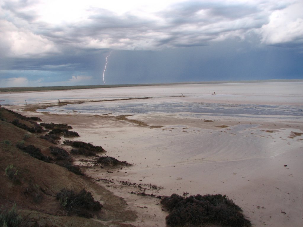
Photos of Nandaly
Nandaly Weather

Predicción: Scattered clouds
Temperatura: 15.7°
Humedad: 60%
Hora actual: 10:00 AM
Amanece: 06:55 AM
Anochece: 06:02 PM


