Distance between  Miga Lake and
  Dunkeld
62.83 mi Straight Distance
89.98 mi Driving Distance
1 hour 44 mins Estimated Driving Time
The straight distance between Miga Lake (Victoria) and Dunkeld (Victoria) is 62.83 mi, but the driving distance is 89.98 mi.
It takes 1 hour 43 mins to go from Miga Lake to Dunkeld.
Driving directions from Miga Lake to Dunkeld
Distance in kilometers
Straight distance: 101.09 km. Route distance: 144.78 km
Miga Lake, Australia
Latitude: -36.9354 // Longitude: 141.634
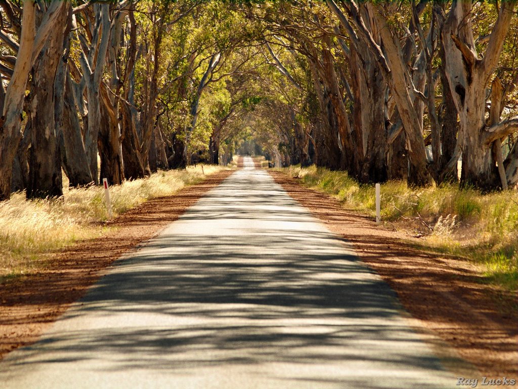
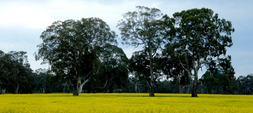
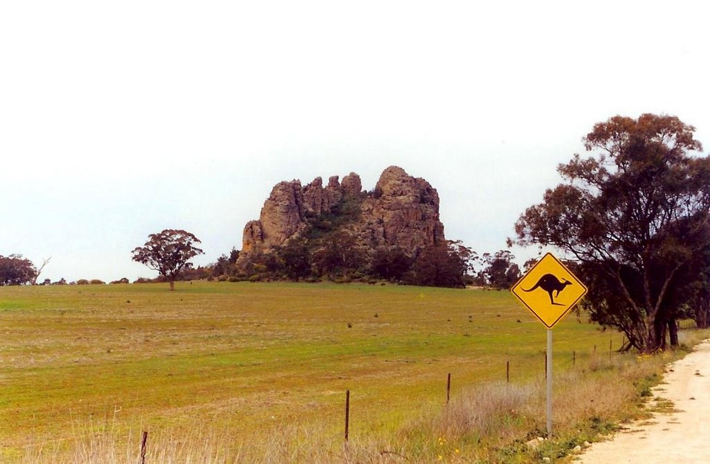
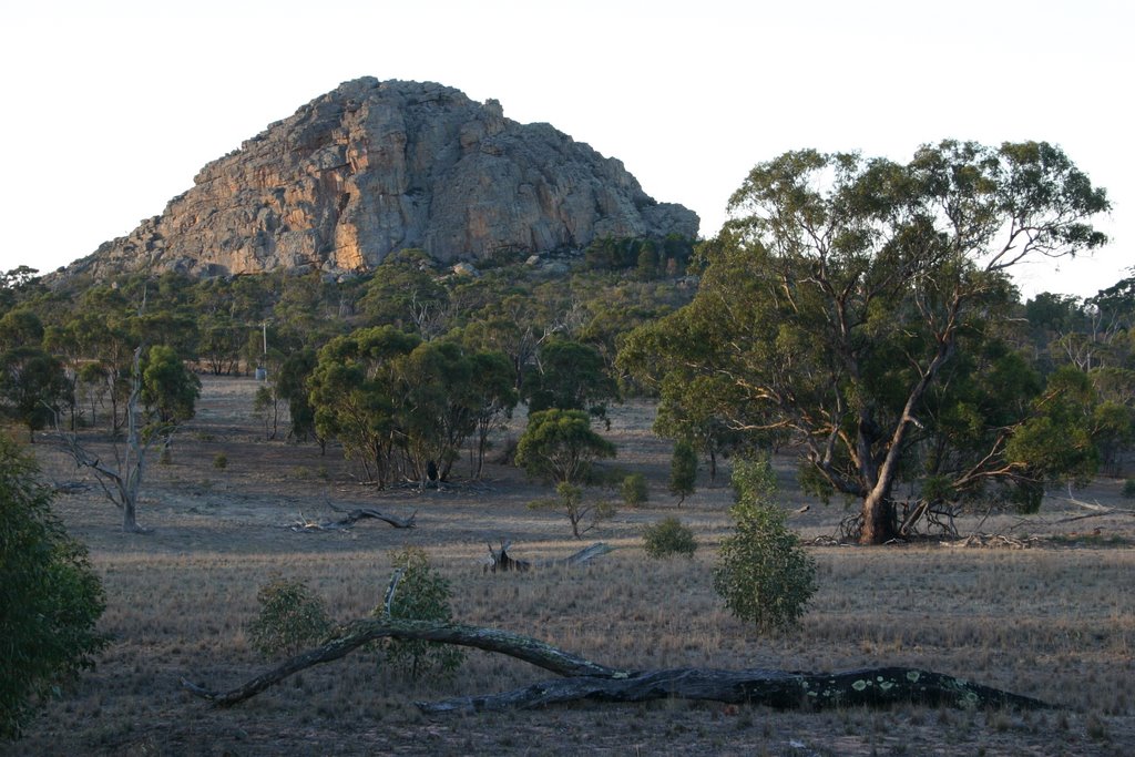
Photos of Miga Lake
Miga Lake Weather

Predicción: Scattered clouds
Temperatura: 13.3°
Humedad: 69%
Hora actual: 12:00 AM
Amanece: 09:00 PM
Anochece: 08:05 AM
Dunkeld, Australia
Latitude: -37.6493 // Longitude: 142.342
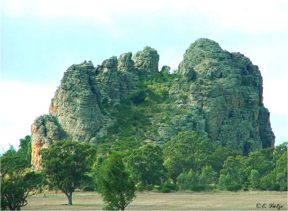
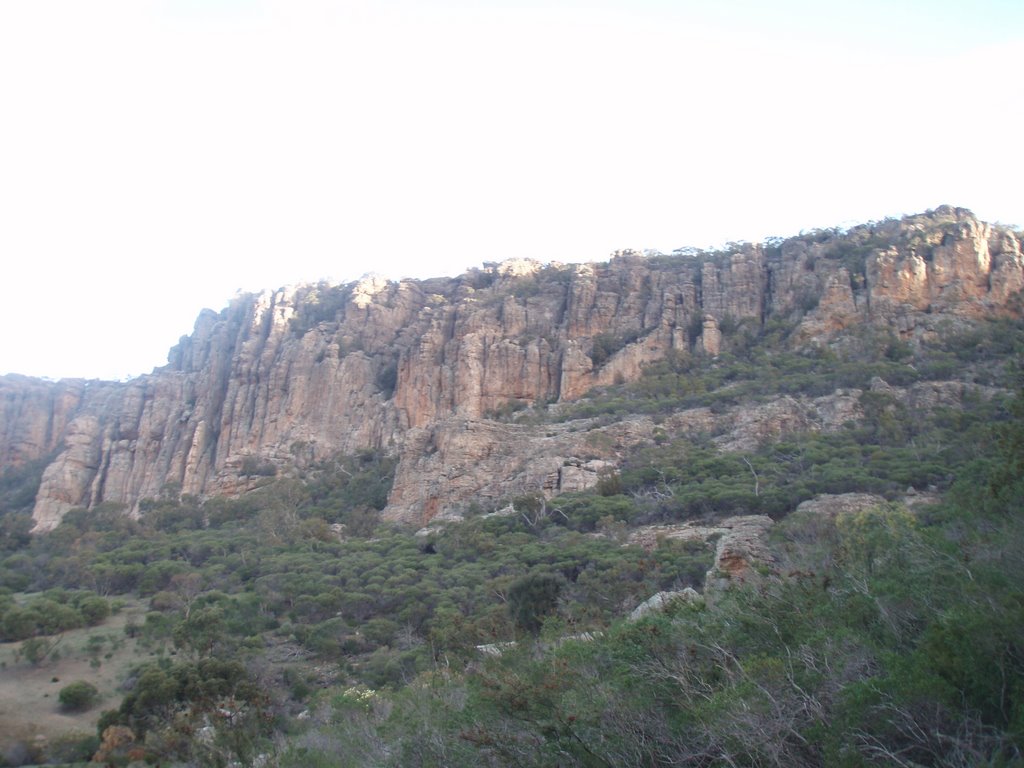
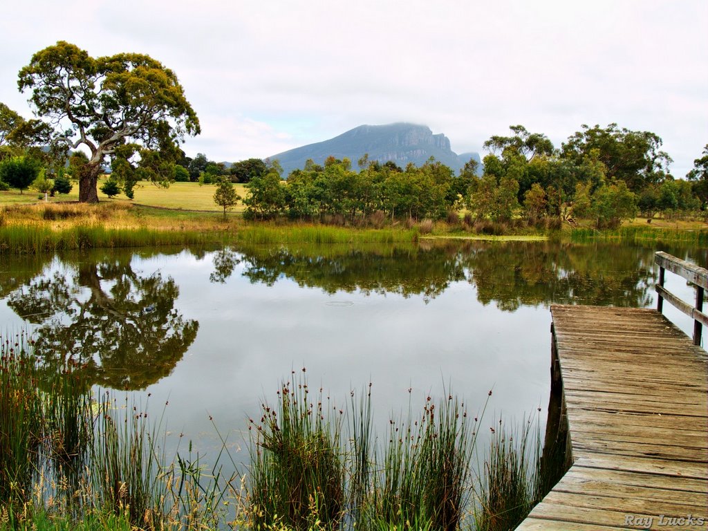
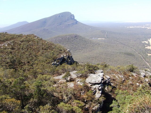
Photos of Dunkeld
Dunkeld Weather

Predicción: Overcast clouds
Temperatura: 12.1°
Humedad: 78%
Hora actual: 08:49 AM
Amanece: 06:59 AM
Anochece: 06:01 PM


