Distance between  Metcalfe East and
  Lake Marmal
86.01 mi Straight Distance
106.02 mi Driving Distance
1 hour 56 mins Estimated Driving Time
The straight distance between Metcalfe East (Victoria) and Lake Marmal (Victoria) is 86.01 mi, but the driving distance is 106.02 mi.
It takes to go from Metcalfe East to Lake Marmal.
Driving directions from Metcalfe East to Lake Marmal
Distance in kilometers
Straight distance: 138.39 km. Route distance: 170.59 km
Metcalfe East, Australia
Latitude: -37.1459 // Longitude: 144.463
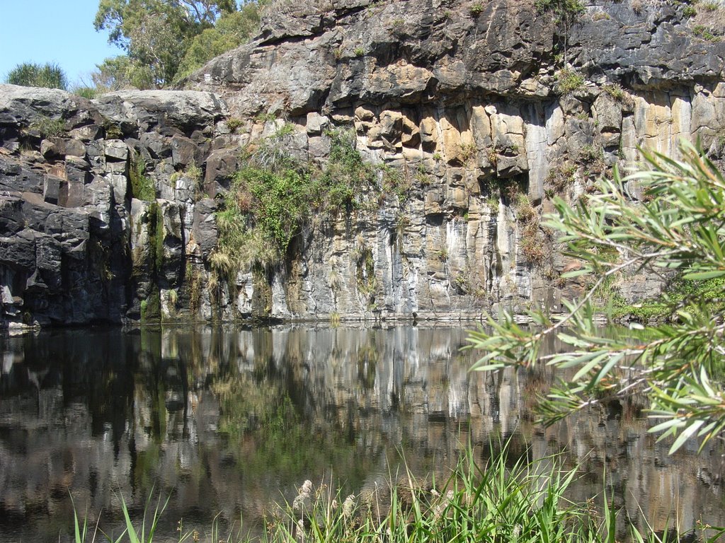
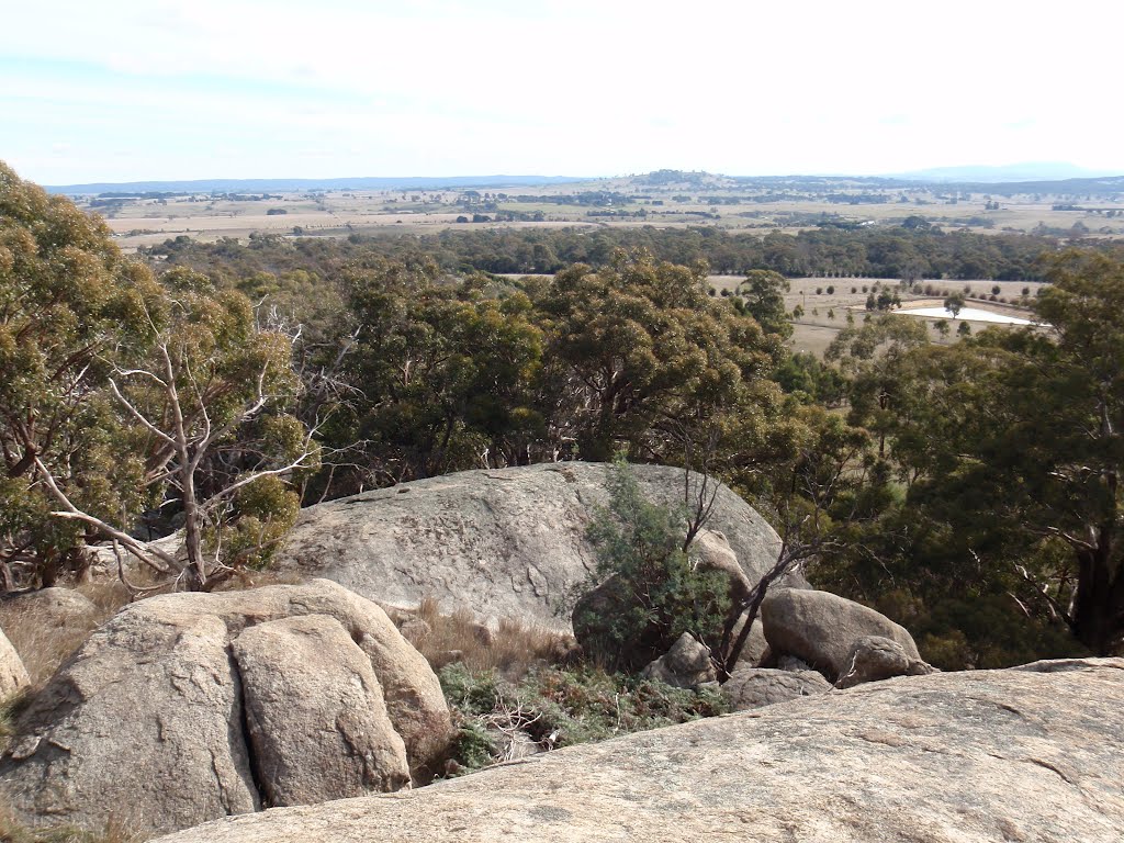
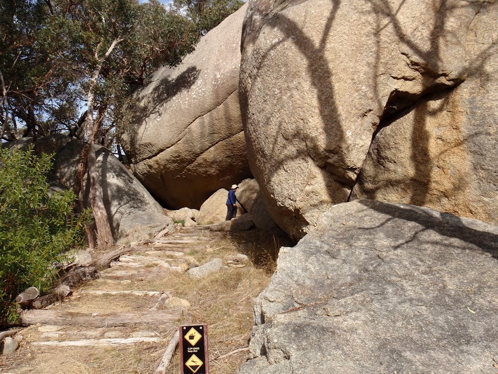
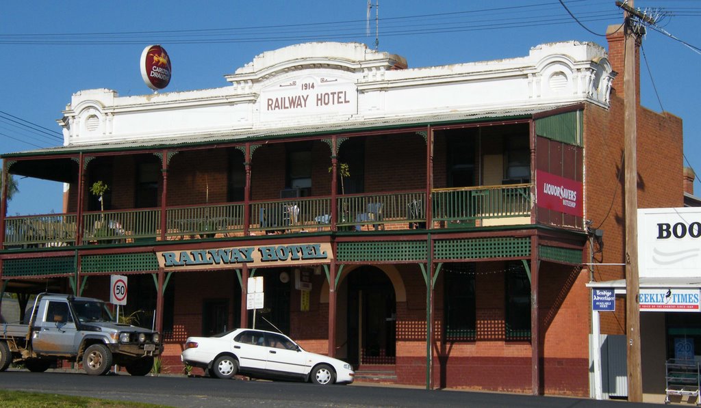
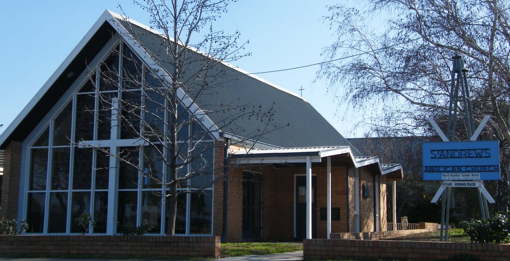
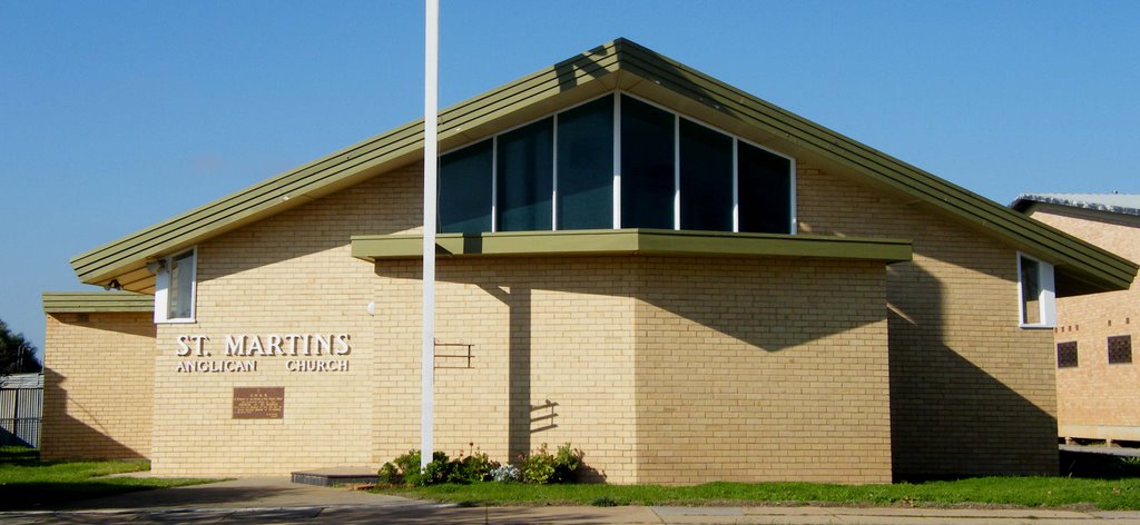
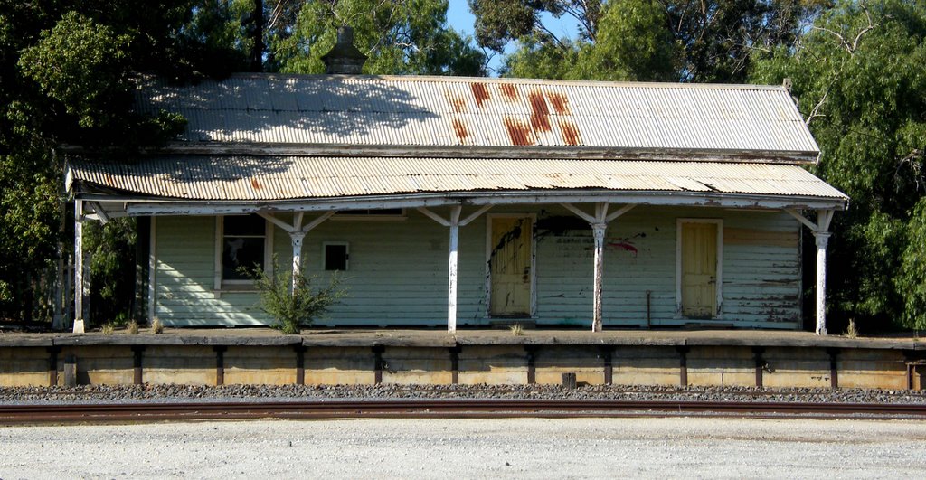
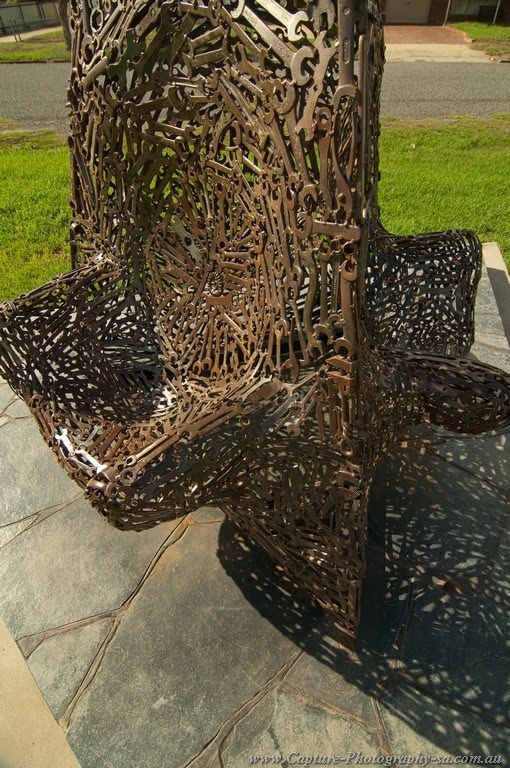
Photos of Metcalfe East
Metcalfe East Weather

Predicción: Broken clouds
Temperatura: 10.6°
Humedad: 92%
Hora actual: 10:30 AM
Amanece: 06:51 AM
Anochece: 05:50 PM
Lake Marmal, Australia
Latitude: -36.1519 // Longitude: 143.529
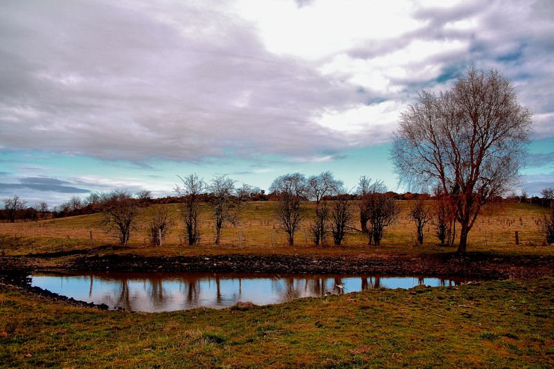
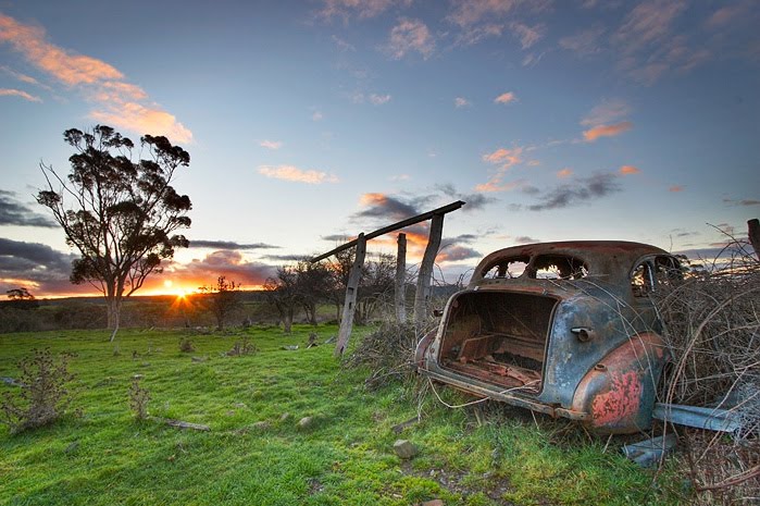
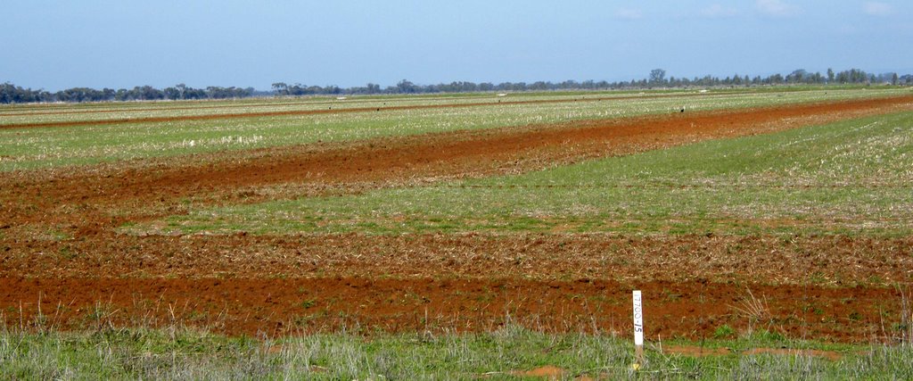
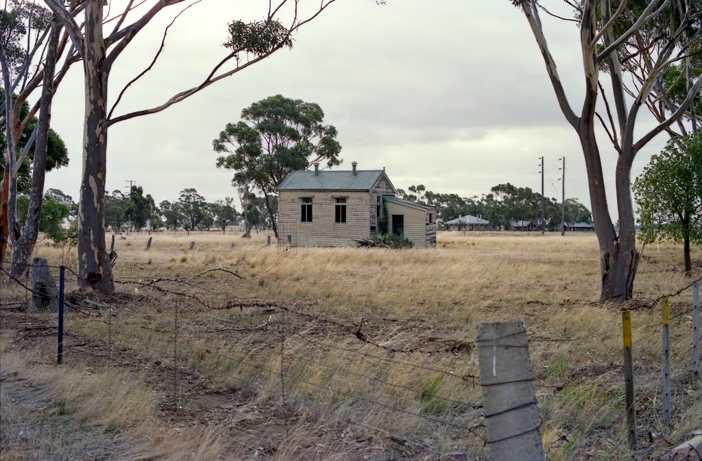
Photos of Lake Marmal
Lake Marmal Weather

Predicción: Few clouds
Temperatura: 17.0°
Humedad: 49%
Hora actual: 10:00 AM
Amanece: 06:54 AM
Anochece: 05:55 PM


