Distance between  Merton and
  Stanley
70.03 mi Straight Distance
100.24 mi Driving Distance
1 hour 47 mins Estimated Driving Time
The straight distance between Merton (Victoria) and Stanley (Victoria) is 70.03 mi, but the driving distance is 100.24 mi.
It takes to go from Merton to Stanley.
Driving directions from Merton to Stanley
Distance in kilometers
Straight distance: 112.67 km. Route distance: 161.28 km
Merton, Australia
Latitude: -36.9775 // Longitude: 145.712
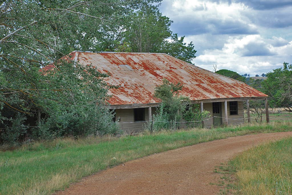
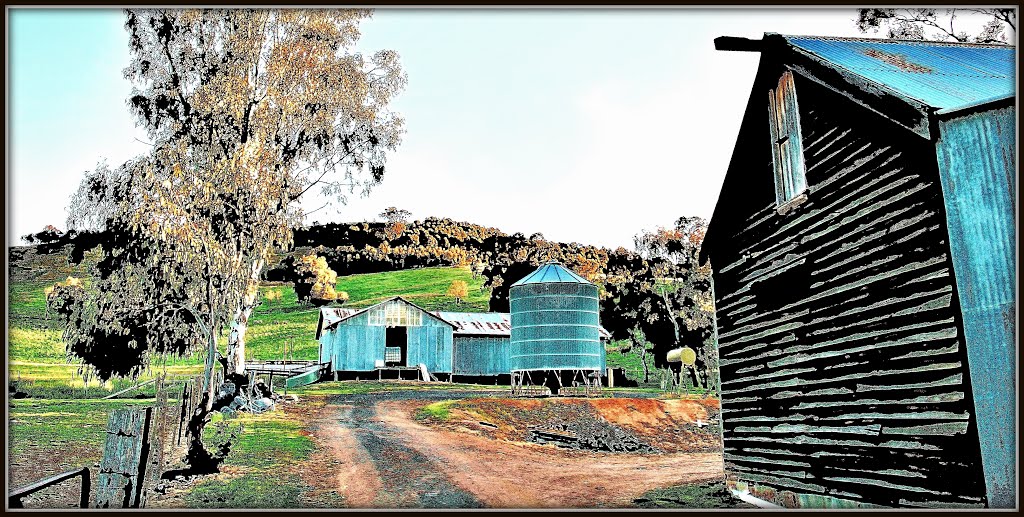
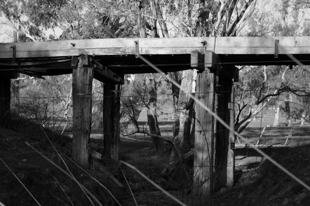
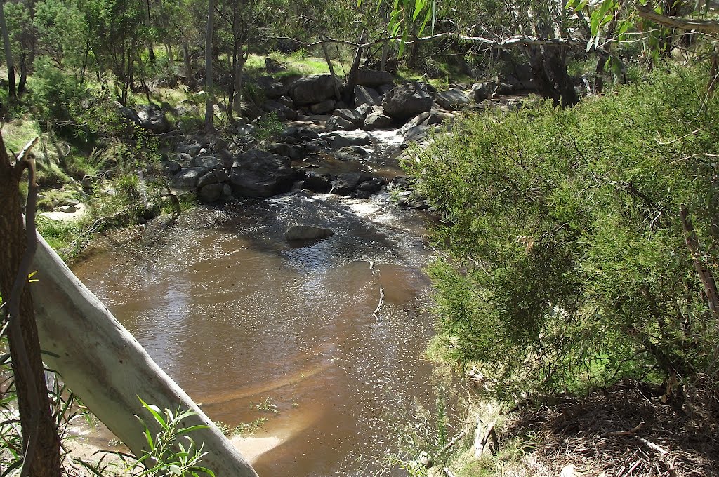
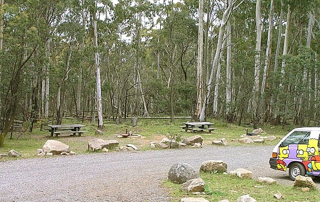
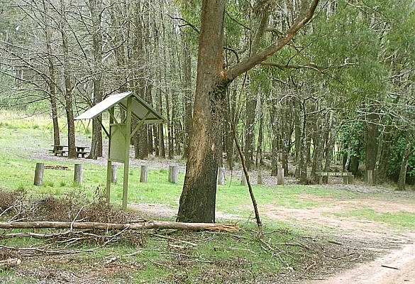
Photos of Merton
Merton Weather

Predicción: Scattered clouds
Temperatura: 9.7°
Humedad: 99%
Hora actual: 12:00 AM
Amanece: 08:46 PM
Anochece: 07:46 AM
Stanley, Australia
Latitude: -36.405 // Longitude: 146.755
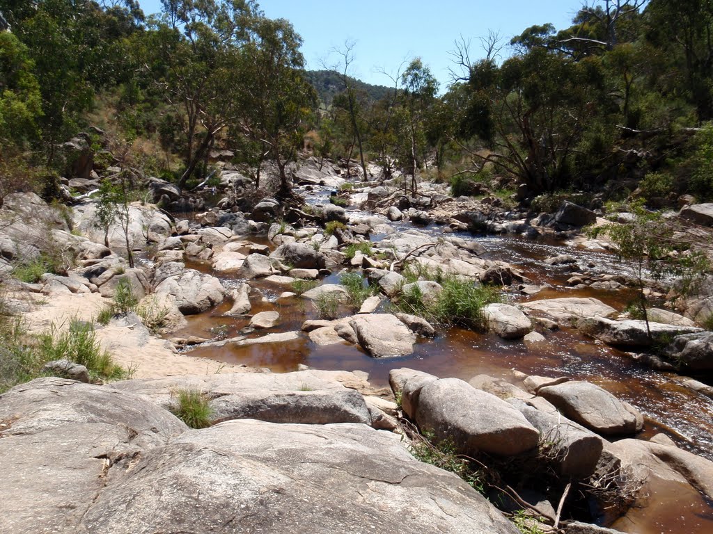
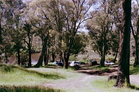
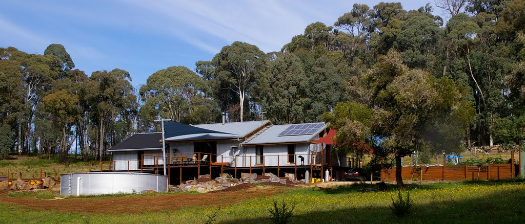
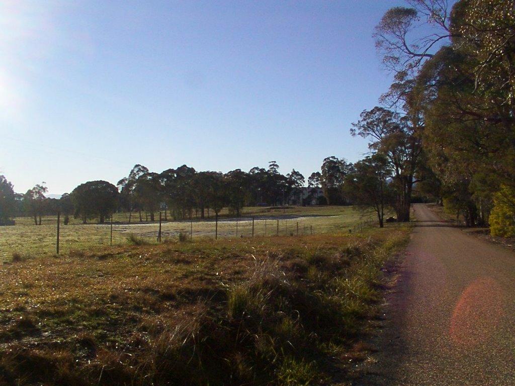
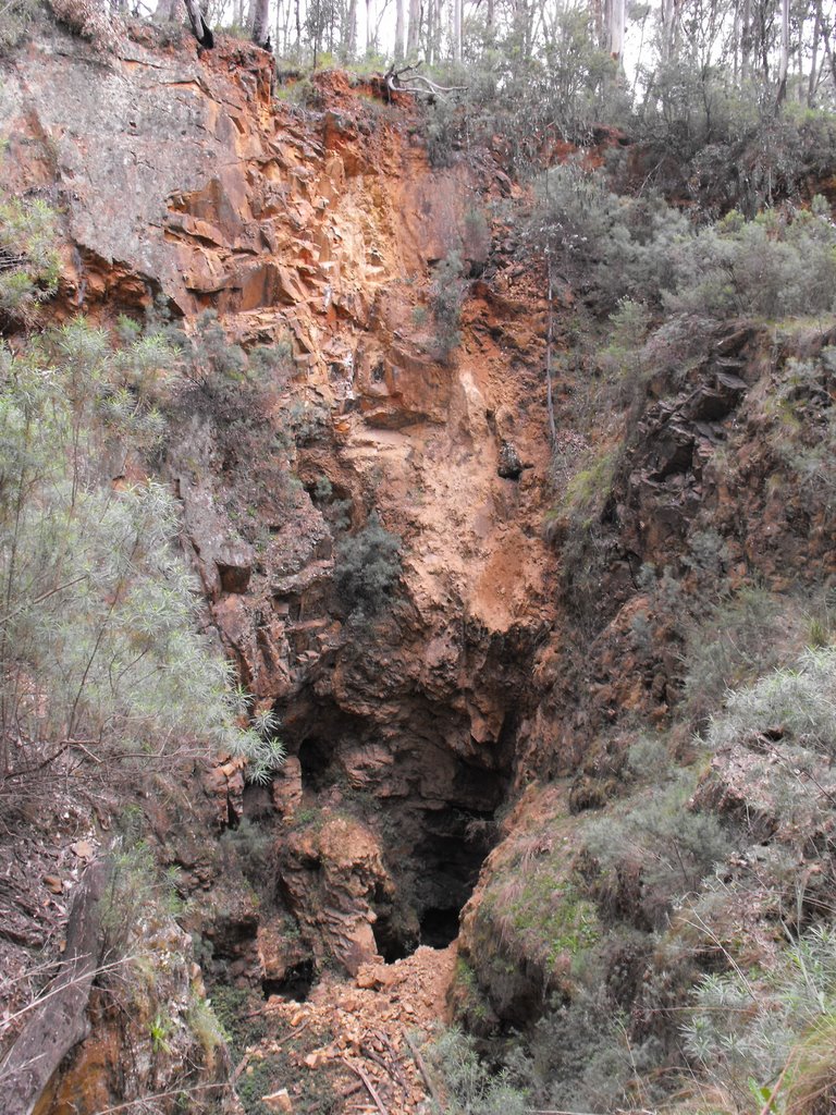
Photos of Stanley
Stanley Weather

Predicción: Broken clouds
Temperatura: 3.1°
Humedad: 87%
Hora actual: 06:23 AM
Amanece: 06:41 AM
Anochece: 05:42 PM


