Distance between  Merrygoen and
  Medowie
166.40 mi Straight Distance
206.36 mi Driving Distance
3 hours 56 mins Estimated Driving Time
The straight distance between Merrygoen (New South Wales) and Medowie (New South Wales) is 166.40 mi, but the driving distance is 206.36 mi.
It takes to go from Merrygoen to Medowie.
Driving directions from Merrygoen to Medowie
Distance in kilometers
Straight distance: 267.73 km. Route distance: 332.04 km
Merrygoen, Australia
Latitude: -31.8255 // Longitude: 149.229
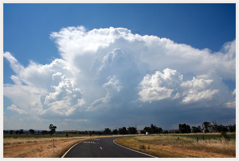
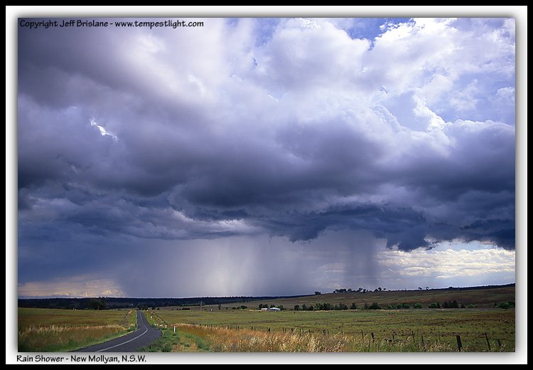
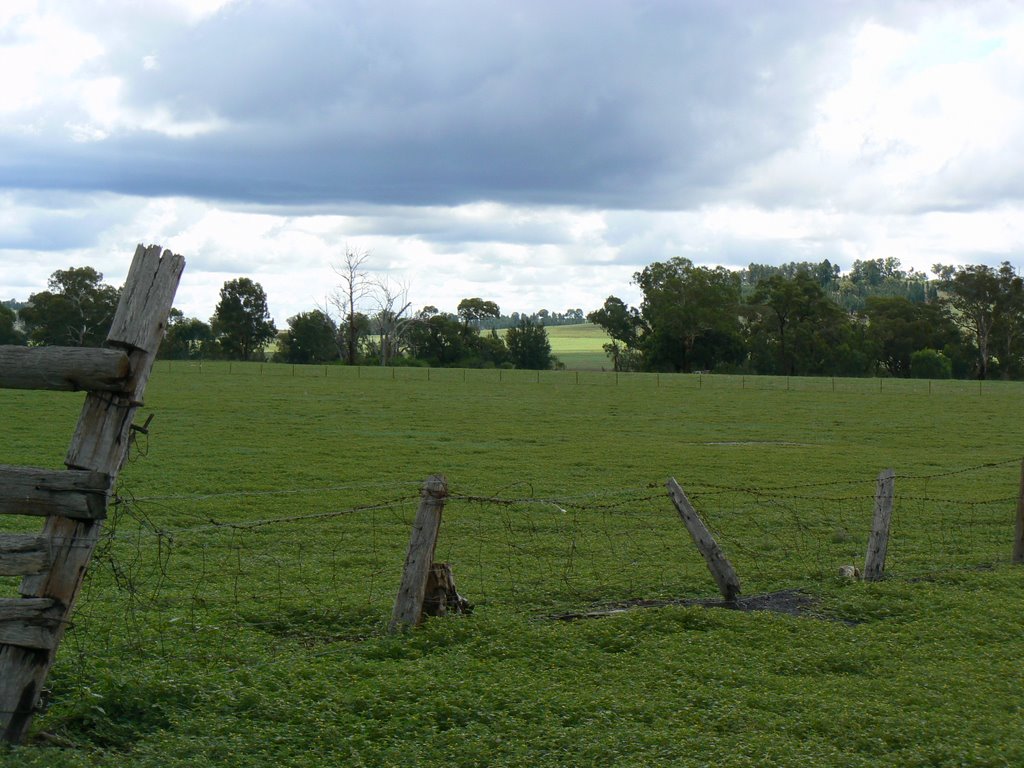
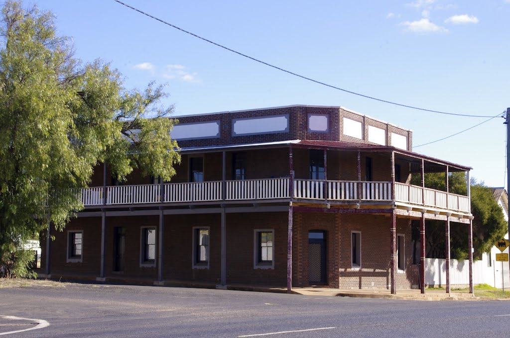
Photos of Merrygoen
Merrygoen Weather

Predicción: Clear sky
Temperatura: 12.3°
Humedad: 81%
Hora actual: 12:00 AM
Amanece: 08:24 PM
Anochece: 07:40 AM
Medowie, Australia
Latitude: -32.7408 // Longitude: 151.864
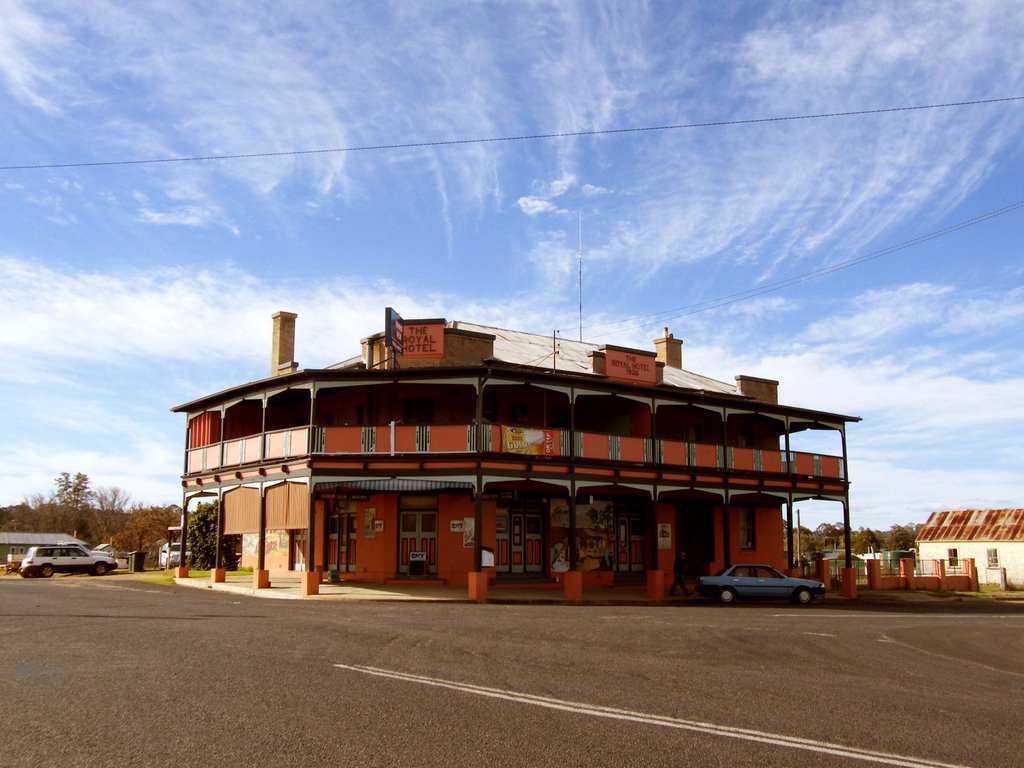
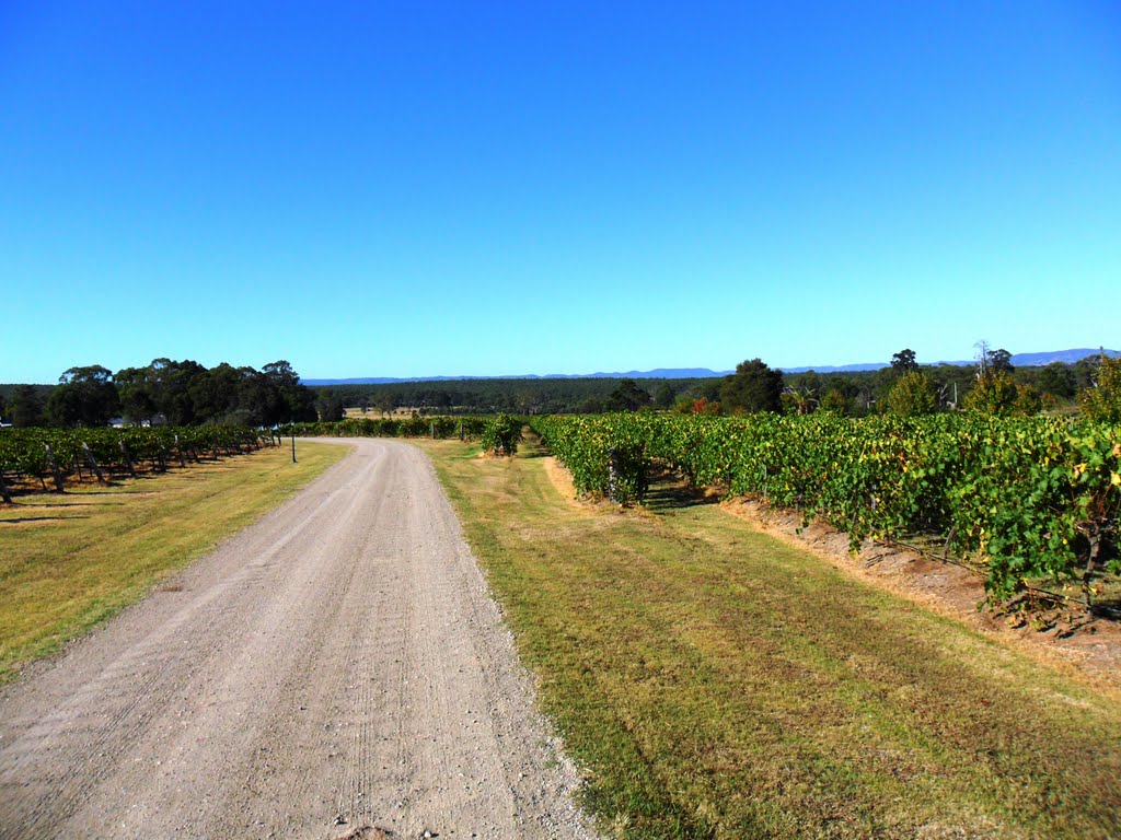
Photos of Medowie
Medowie Weather

Predicción: Overcast clouds
Temperatura: 13.6°
Humedad: 94%
Hora actual: 06:28 AM
Amanece: 06:15 AM
Anochece: 05:28 PM


