Distance between  Menindee and
  Lankeys Creek
382.45 mi Straight Distance
564.87 mi Driving Distance
9 hours 31 mins Estimated Driving Time
The straight distance between Menindee (New South Wales) and Lankeys Creek (New South Wales) is 382.45 mi, but the driving distance is 564.87 mi.
It takes to go from Menindee to Lankeys Creek.
Driving directions from Menindee to Lankeys Creek
Distance in kilometers
Straight distance: 615.36 km. Route distance: 908.88 km
Menindee, Australia
Latitude: -32.3938 // Longitude: 142.417
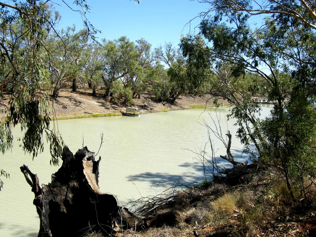
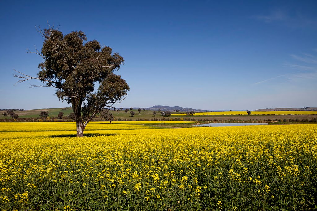
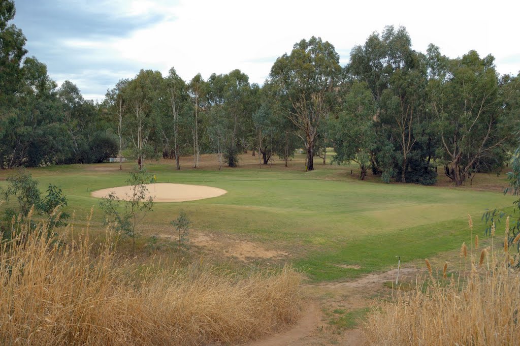
Photos of Menindee
Menindee Weather

Predicción: Clear sky
Temperatura: 19.5°
Humedad: 43%
Hora actual: 10:38 AM
Amanece: 06:53 AM
Anochece: 06:05 PM
Lankeys Creek, Australia
Latitude: -35.8232 // Longitude: 147.667
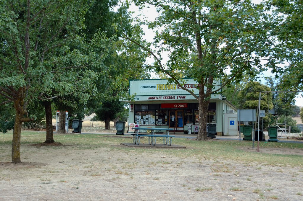
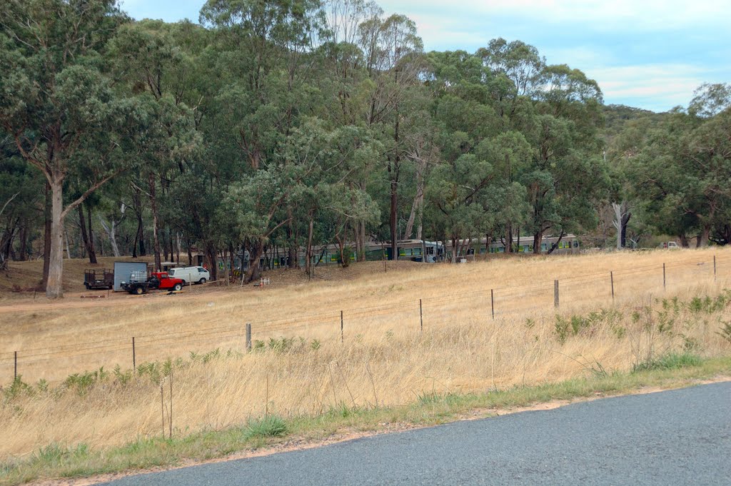
Photos of Lankeys Creek
Lankeys Creek Weather

Predicción: Clear sky
Temperatura: 18.2°
Humedad: 41%
Hora actual: 10:00 AM
Amanece: 06:36 AM
Anochece: 05:40 PM


