Distance between  Melwood and
  Labertouche
95.20 mi Straight Distance
128.53 mi Driving Distance
2 hours 30 mins Estimated Driving Time
The straight distance between Melwood (Victoria) and Labertouche (Victoria) is 95.20 mi, but the driving distance is 128.53 mi.
It takes to go from Melwood to Labertouche.
Driving directions from Melwood to Labertouche
Distance in kilometers
Straight distance: 153.18 km. Route distance: 206.80 km
Melwood, Australia
Latitude: -37.7438 // Longitude: 147.506
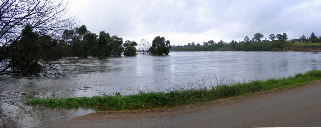
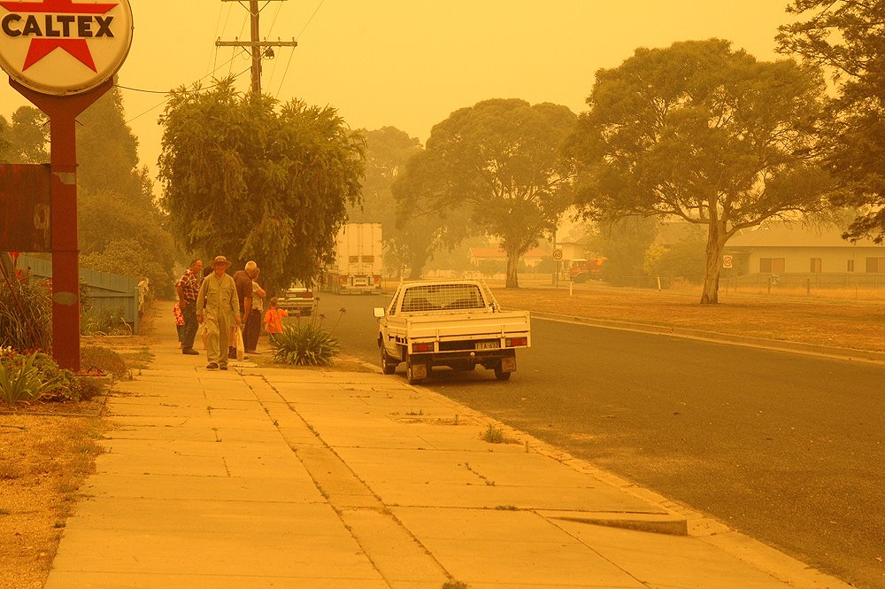
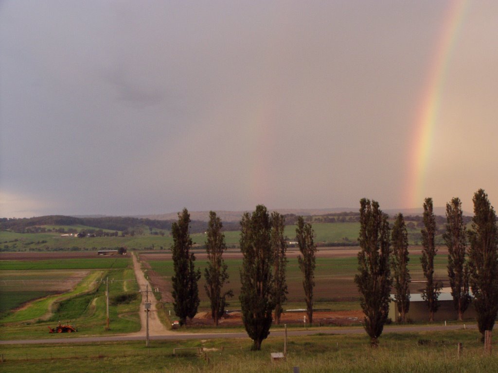
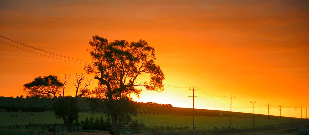
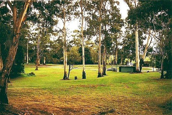
Photos of Melwood
Melwood Weather

Predicción: Overcast clouds
Temperatura: 14.8°
Humedad: 82%
Hora actual: 05:55 PM
Amanece: 06:37 AM
Anochece: 05:41 PM
Labertouche, Australia
Latitude: -38.0368 // Longitude: 145.8
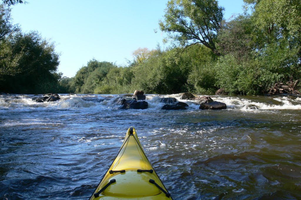
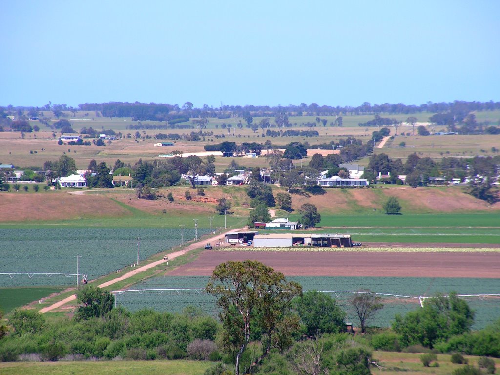
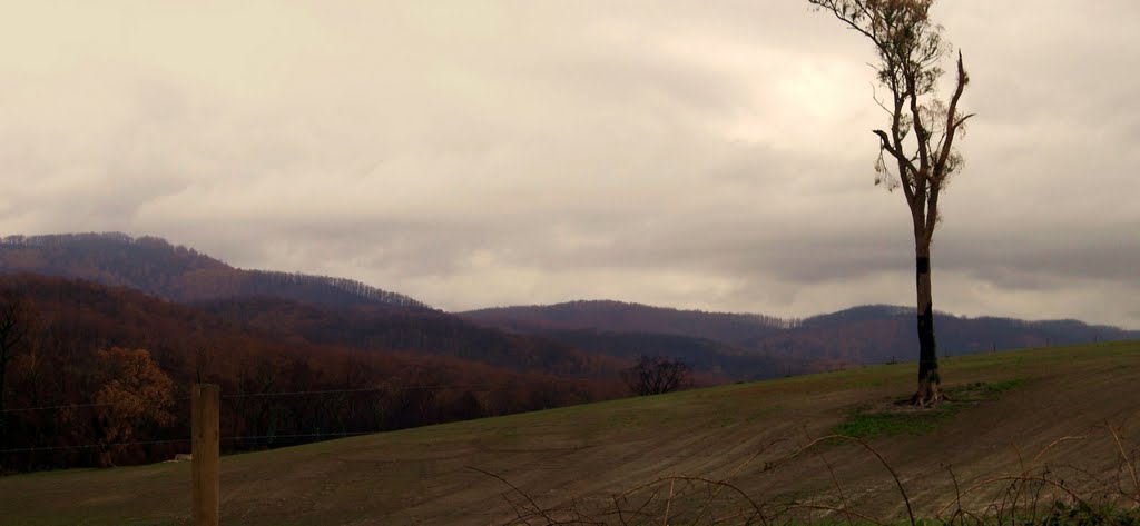
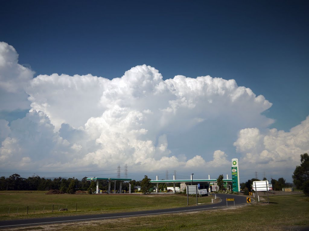
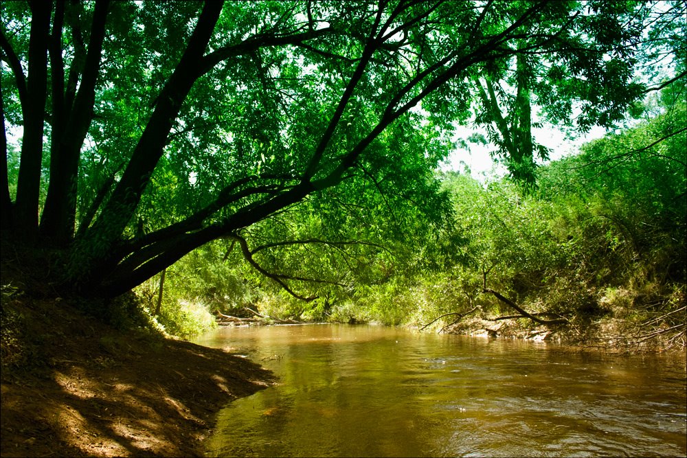
Photos of Labertouche
Labertouche Weather

Predicción: Broken clouds
Temperatura: 14.2°
Humedad: 88%
Hora actual: 05:55 PM
Amanece: 06:44 AM
Anochece: 05:48 PM


