Distance between  Melville Forest and
  Allansford
72.92 mi Straight Distance
92.15 mi Driving Distance
1 hour 41 mins Estimated Driving Time
The straight distance between Melville Forest (Victoria) and Allansford (Victoria) is 72.92 mi, but the driving distance is 92.15 mi.
It takes 1 hour 49 mins to go from Melville Forest to Allansford.
Driving directions from Melville Forest to Allansford
Distance in kilometers
Straight distance: 117.32 km. Route distance: 148.27 km
Melville Forest, Australia
Latitude: -37.5062 // Longitude: 141.851
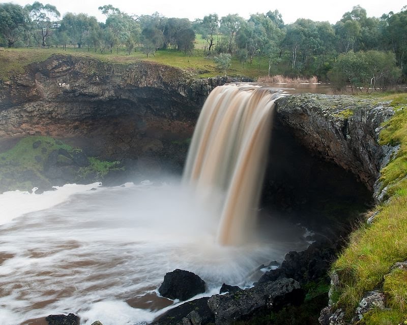
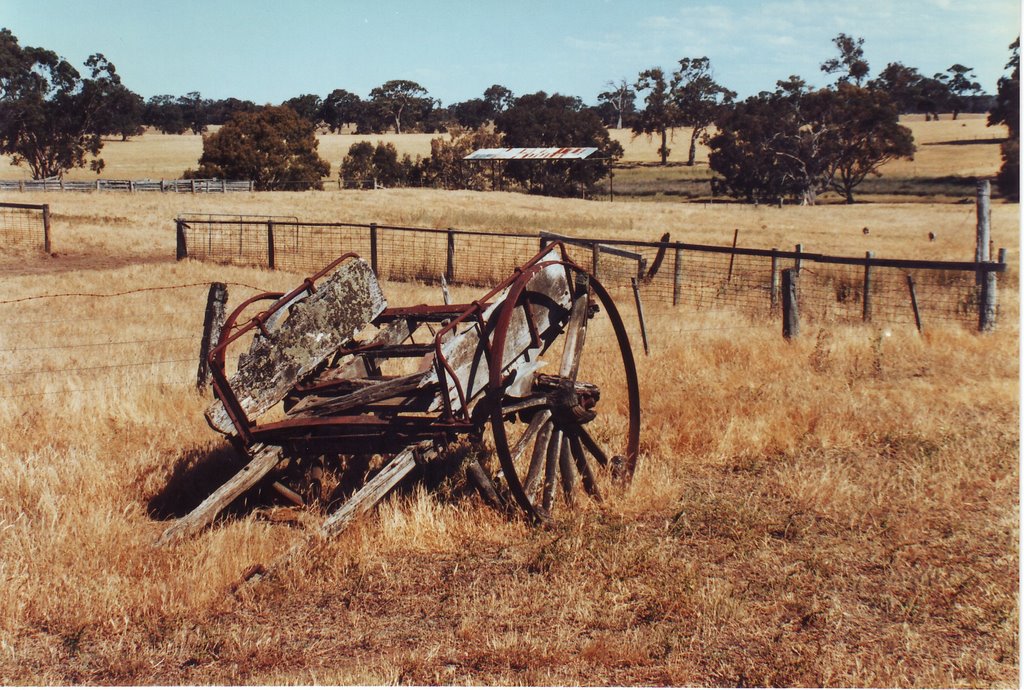
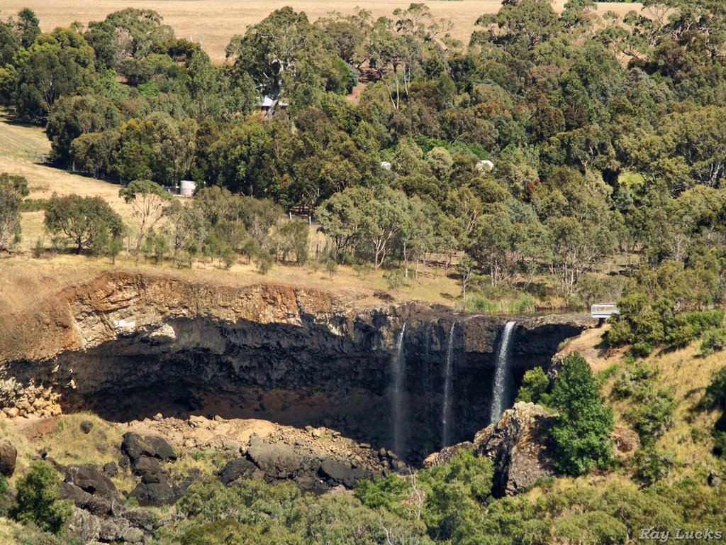
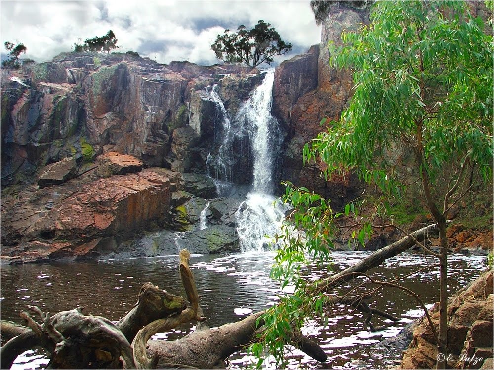
Photos of Melville Forest
Melville Forest Weather

Predicción: Overcast clouds
Temperatura: 13.2°
Humedad: 82%
Hora actual: 12:00 AM
Amanece: 09:00 PM
Anochece: 08:04 AM
Allansford, Australia
Latitude: -38.3855 // Longitude: 142.591
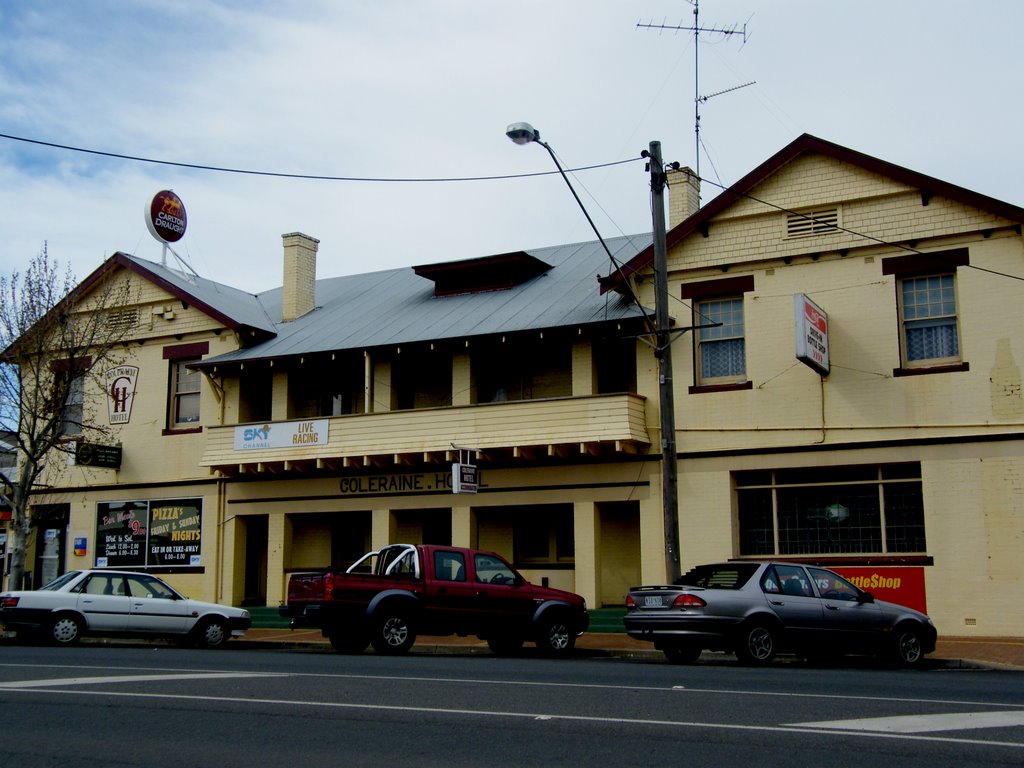
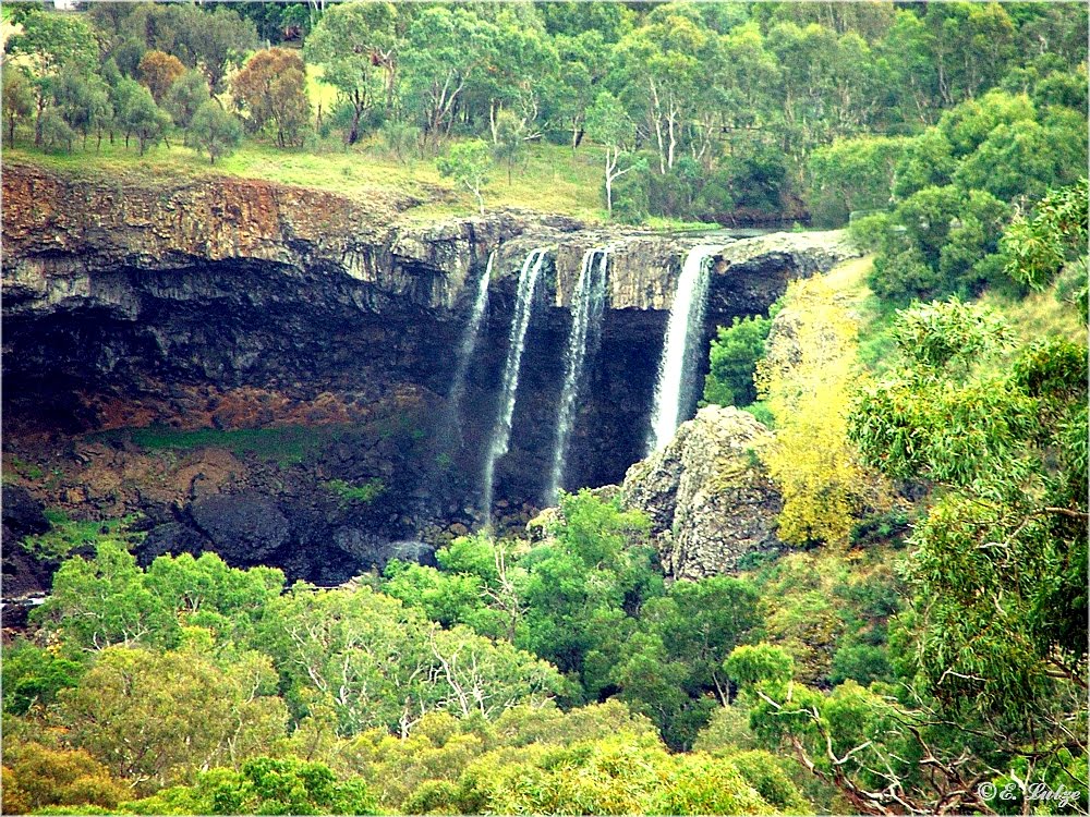
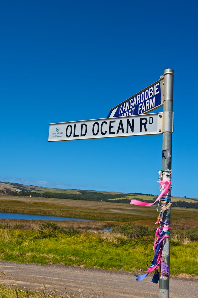
Photos of Allansford
Allansford Weather

Predicción: Overcast clouds
Temperatura: 13.4°
Humedad: 80%
Hora actual: 06:22 PM
Amanece: 06:58 AM
Anochece: 06:00 PM


