Distance between  Mella and
  Highclere
45.23 mi Straight Distance
65.15 mi Driving Distance
1 hour 22 mins Estimated Driving Time
The straight distance between Mella (Tasmania) and Highclere (Tasmania) is 45.23 mi, but the driving distance is 65.15 mi.
It takes to go from Mella to Highclere.
Driving directions from Mella to Highclere
Distance in kilometers
Straight distance: 72.77 km. Route distance: 104.83 km
Mella, Australia
Latitude: -40.8423 // Longitude: 145.073
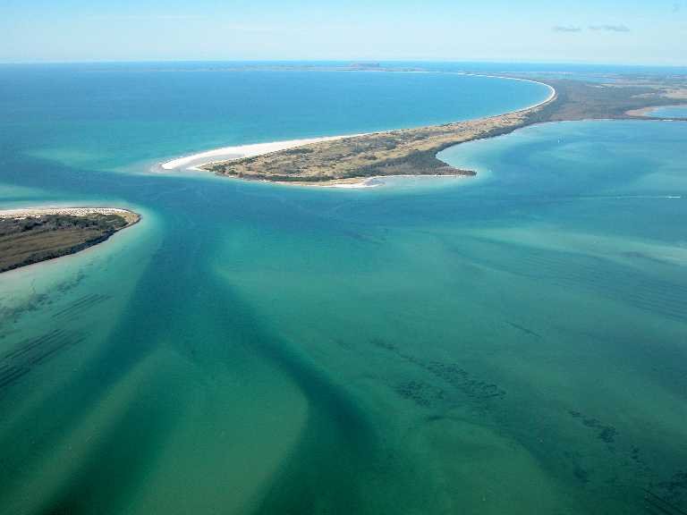
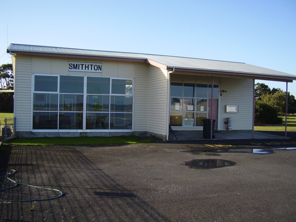
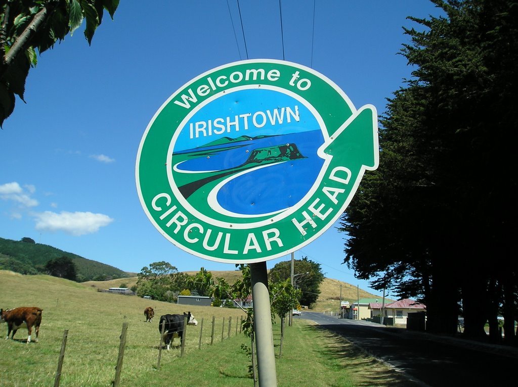
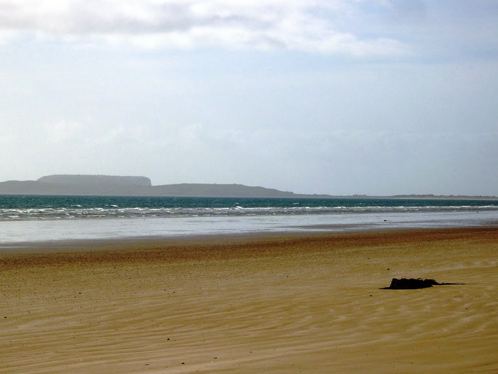
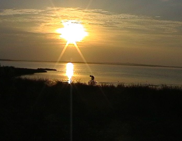
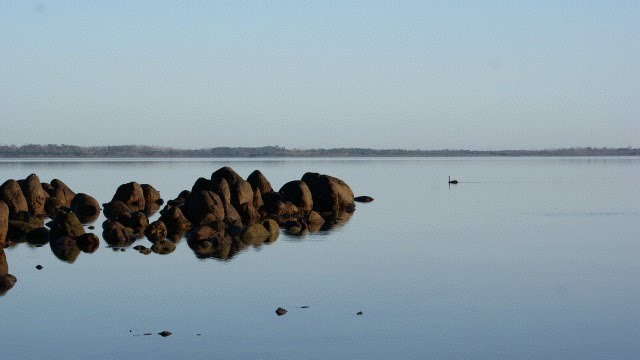
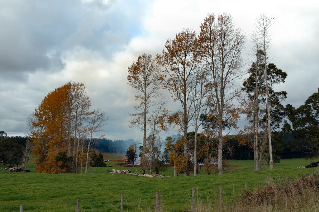
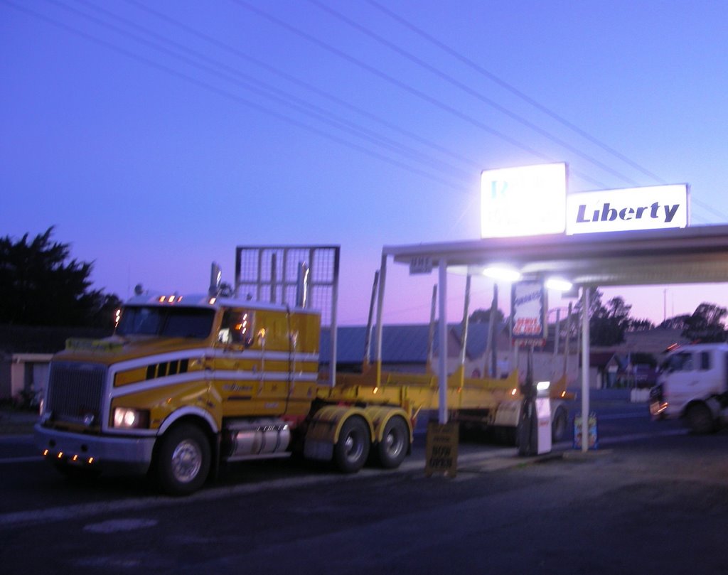
Photos of Mella
Mella Weather

Predicción: Overcast clouds
Temperatura: 11.4°
Humedad: 81%
Hora actual: 12:30 AM
Amanece: 06:54 AM
Anochece: 05:43 PM
Highclere, Australia
Latitude: -41.1924 // Longitude: 145.806
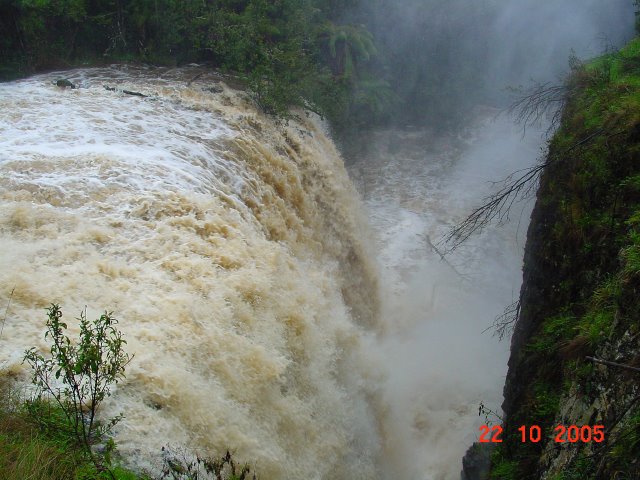
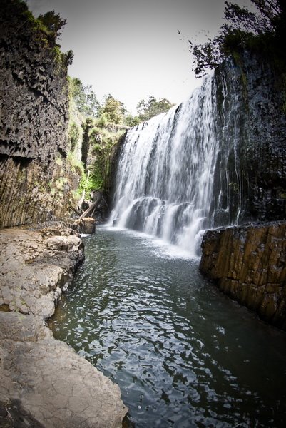
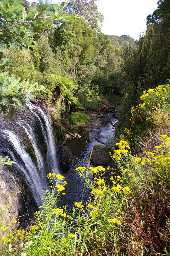
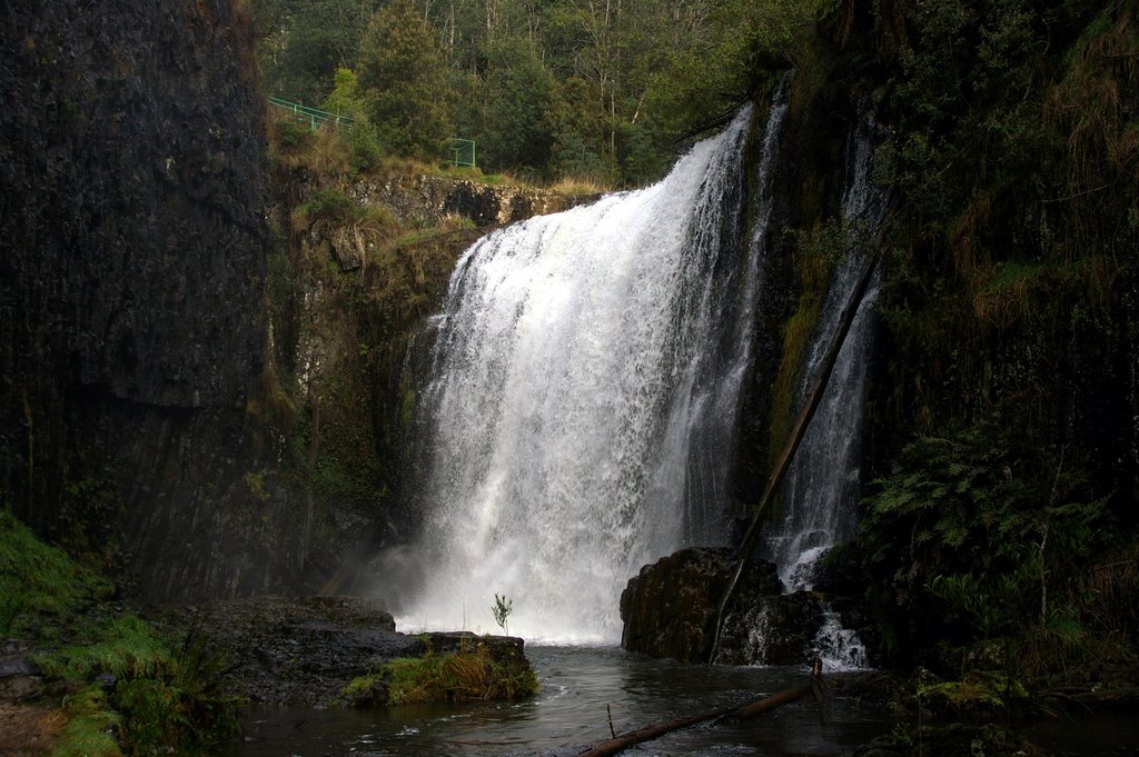
Photos of Highclere
Highclere Weather

Predicción: Scattered clouds
Temperatura: 6.4°
Humedad: 92%
Hora actual: 12:30 AM
Amanece: 06:51 AM
Anochece: 05:40 PM


