Distance between  Megalong and
  Laurel Hill
178.73 mi Straight Distance
282.53 mi Driving Distance
5 hours 43 mins Estimated Driving Time
The straight distance between Megalong (New South Wales) and Laurel Hill (New South Wales) is 178.73 mi, but the driving distance is 282.53 mi.
It takes to go from Megalong to Laurel Hill.
Driving directions from Megalong to Laurel Hill
Distance in kilometers
Straight distance: 287.58 km. Route distance: 454.59 km
Megalong, Australia
Latitude: -33.7092 // Longitude: 150.235
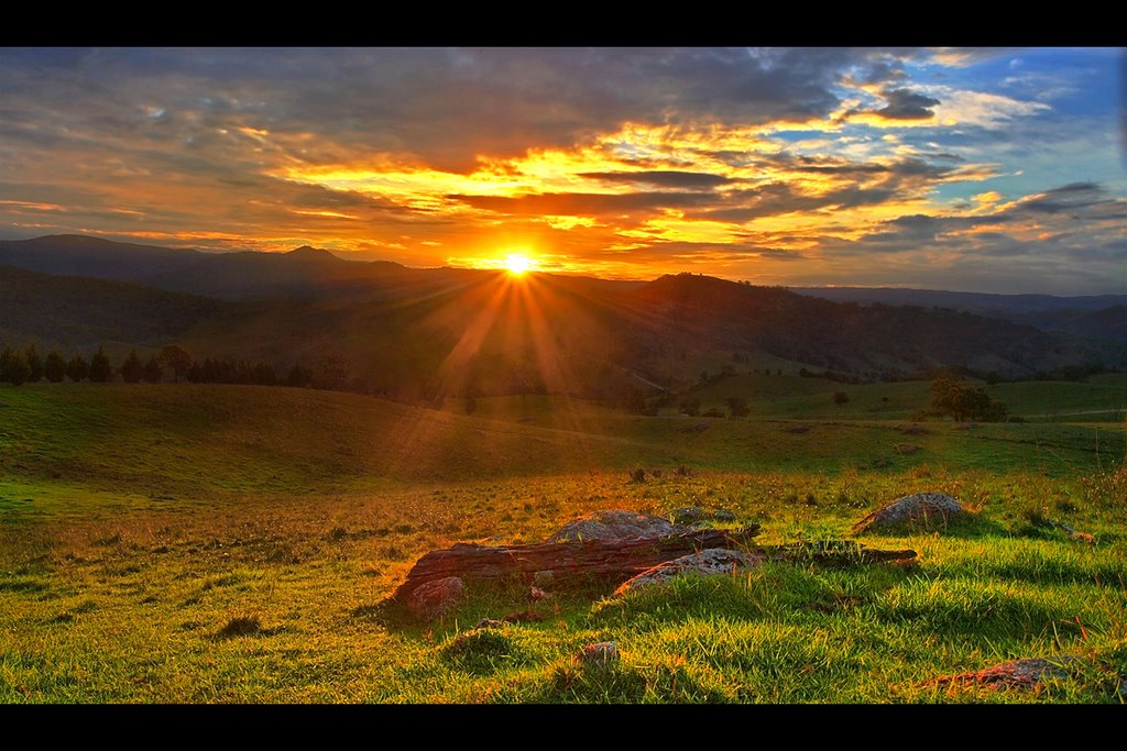
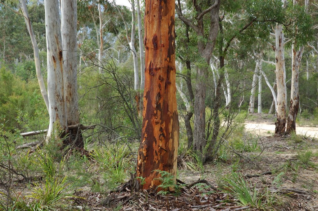
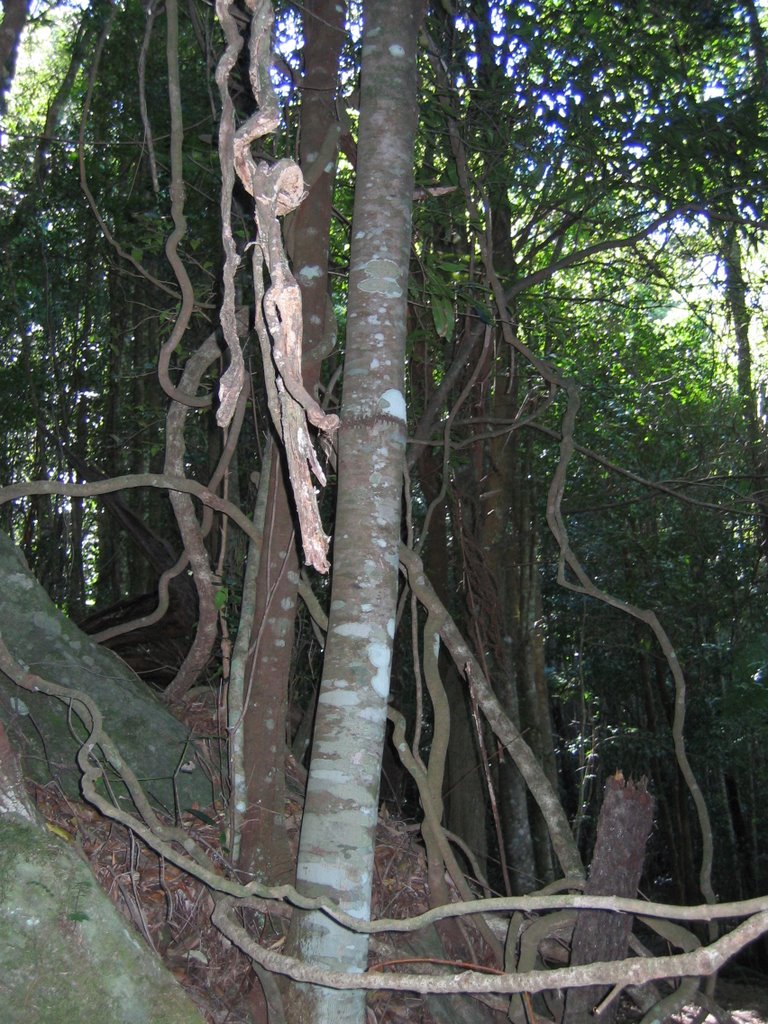
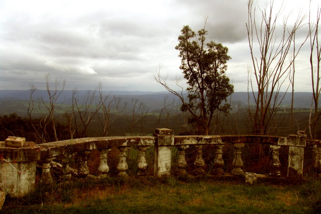
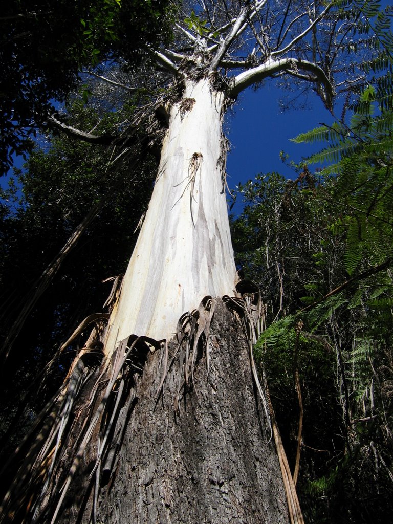
Photos of Megalong
Megalong Weather

Predicción: Broken clouds
Temperatura: 14.4°
Humedad: 97%
Hora actual: 01:01 AM
Amanece: 06:23 AM
Anochece: 05:33 PM
Laurel Hill, Australia
Latitude: -35.6041 // Longitude: 148.094
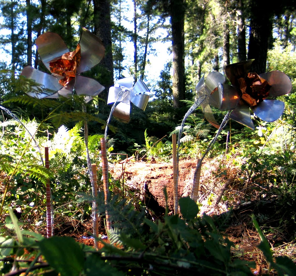
Photos of Laurel Hill
Laurel Hill Weather

Predicción: Clear sky
Temperatura: 6.8°
Humedad: 72%
Hora actual: 10:00 AM
Amanece: 06:33 AM
Anochece: 05:40 PM


