Distance between  Megalong and
  Grahamstown
165 mi Straight Distance
252.15 mi Driving Distance
4 hours 50 mins Estimated Driving Time
The straight distance between Megalong (New South Wales) and Grahamstown (New South Wales) is 165 mi, but the driving distance is 252.15 mi.
It takes to go from Megalong to Grahamstown.
Driving directions from Megalong to Grahamstown
Distance in kilometers
Straight distance: 265.49 km. Route distance: 405.71 km
Megalong, Australia
Latitude: -33.7092 // Longitude: 150.235
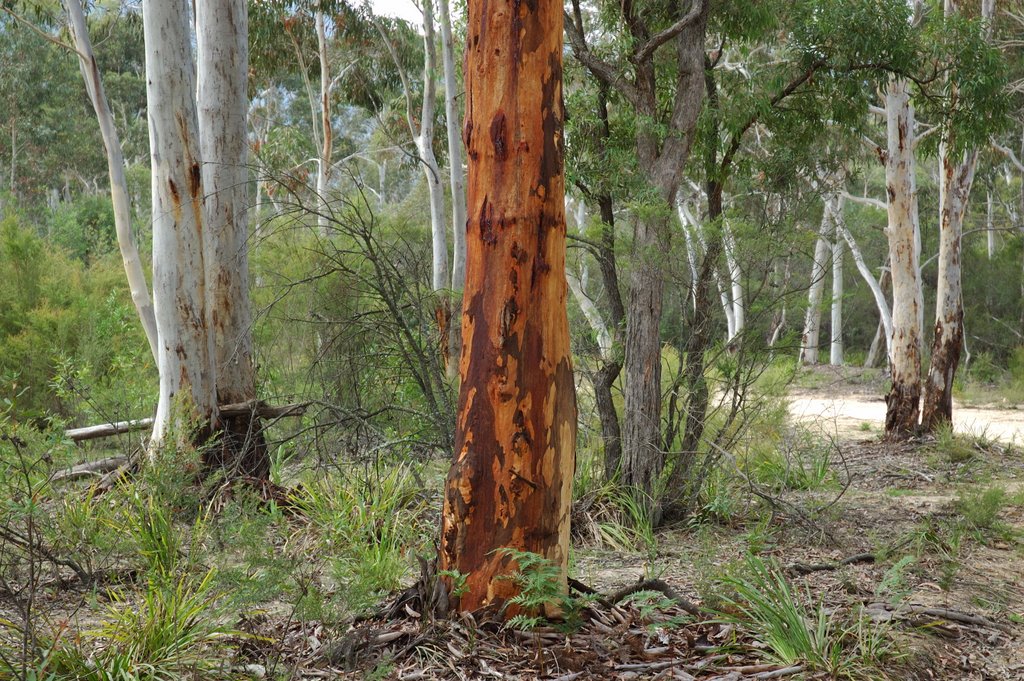
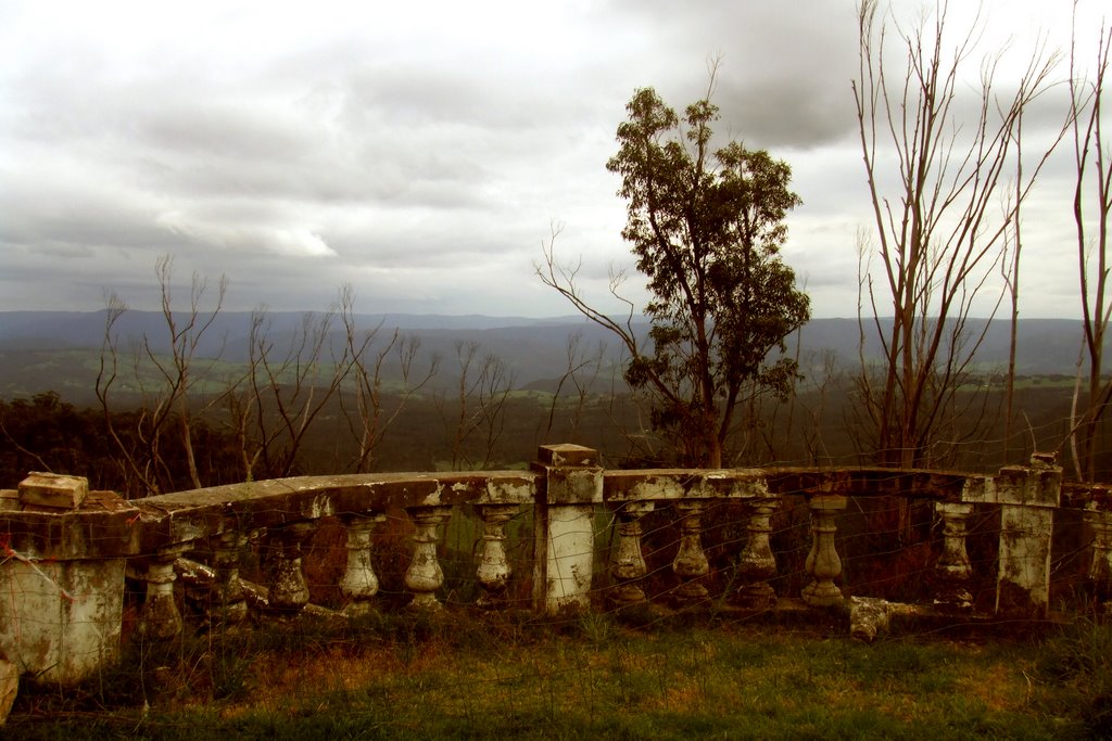
Photos of Megalong
Megalong Weather

Predicción: Light rain
Temperatura: 8.1°
Humedad: 82%
Hora actual: 06:18 AM
Amanece: 06:24 AM
Anochece: 05:31 PM
Grahamstown, Australia
Latitude: -35.2624 // Longitude: 148.034
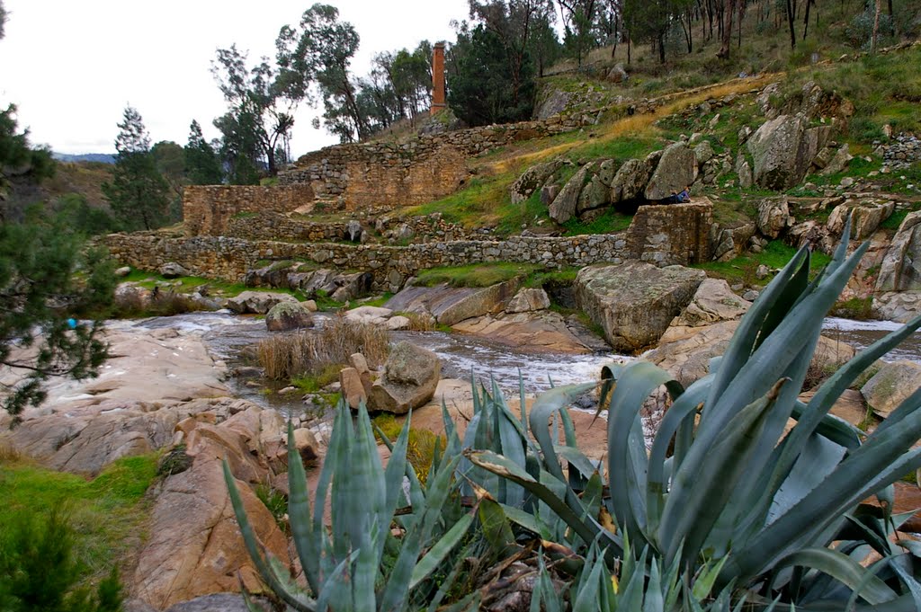
Photos of Grahamstown
Grahamstown Weather

Predicción: Light rain
Temperatura: 8.3°
Humedad: 74%
Hora actual: 06:18 AM
Amanece: 06:35 AM
Anochece: 05:38 PM


