Distance between  McKenzie Creek and
  Nelson
108.32 mi Straight Distance
145.49 mi Driving Distance
2 hours 25 mins Estimated Driving Time
The straight distance between McKenzie Creek (Victoria) and Nelson (Victoria) is 108.32 mi, but the driving distance is 145.49 mi.
It takes to go from McKenzie Creek to Nelson.
Driving directions from McKenzie Creek to Nelson
Distance in kilometers
Straight distance: 174.29 km. Route distance: 234.09 km
McKenzie Creek, Australia
Latitude: -36.7822 // Longitude: 142.174
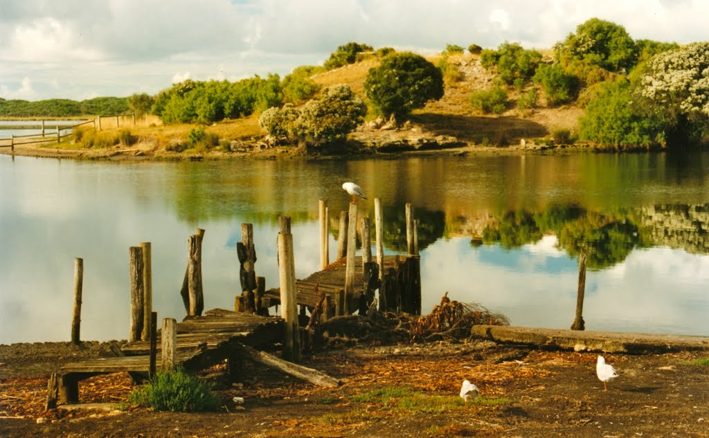
Photos of McKenzie Creek
McKenzie Creek Weather

Predicción: Overcast clouds
Temperatura: 13.3°
Humedad: 71%
Hora actual: 09:04 AM
Amanece: 07:00 AM
Anochece: 06:00 PM
Nelson, Australia
Latitude: -38.0478 // Longitude: 141.009
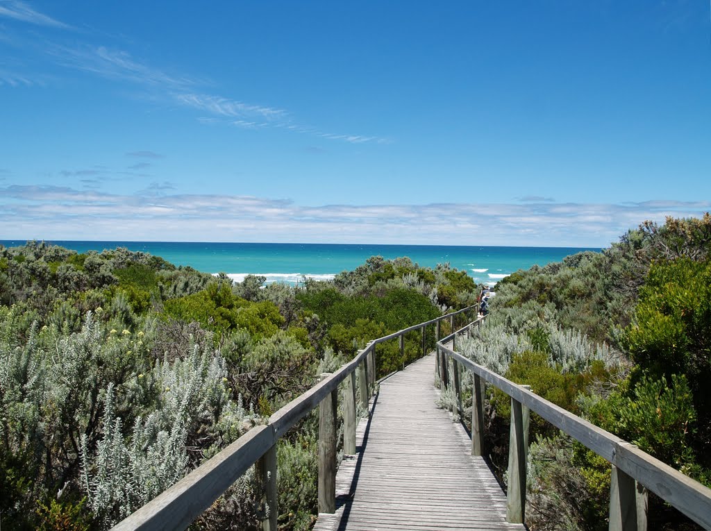
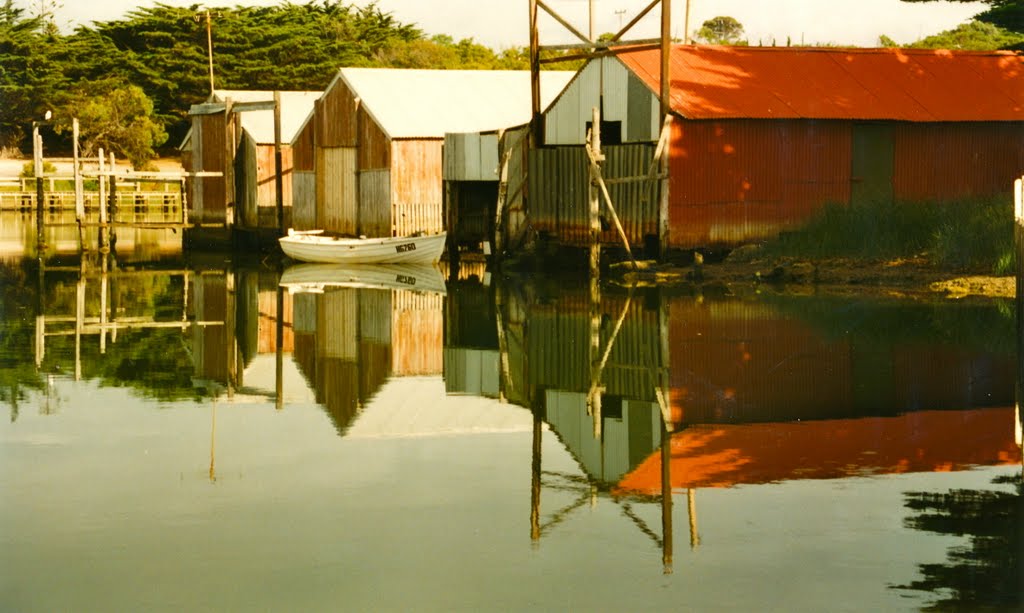
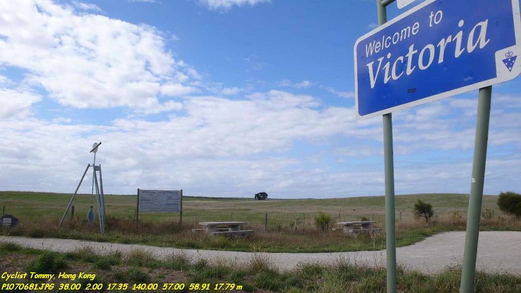
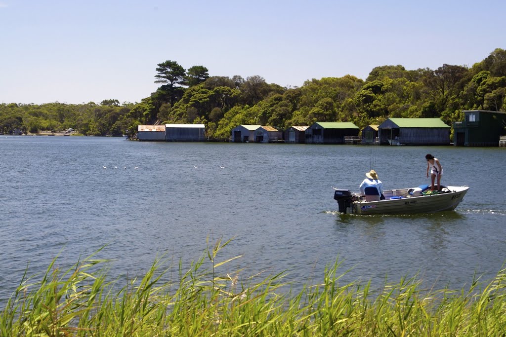
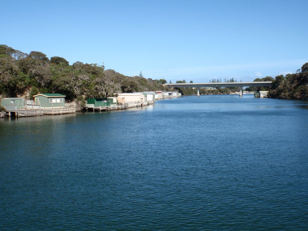
Photos of Nelson
Nelson Weather

Predicción: Overcast clouds
Temperatura: 14.7°
Humedad: 61%
Hora actual: 10:00 AM
Amanece: 07:06 AM
Anochece: 06:03 PM


