Distance between  McKenzie Creek and
  Deep Lead
34.07 mi Straight Distance
37.61 mi Driving Distance
37 minutes Estimated Driving Time
The straight distance between McKenzie Creek (Victoria) and Deep Lead (Victoria) is 34.07 mi, but the driving distance is 37.61 mi.
It takes to go from McKenzie Creek to Deep Lead.
Driving directions from McKenzie Creek to Deep Lead
Distance in kilometers
Straight distance: 54.81 km. Route distance: 60.52 km
McKenzie Creek, Australia
Latitude: -36.7822 // Longitude: 142.174
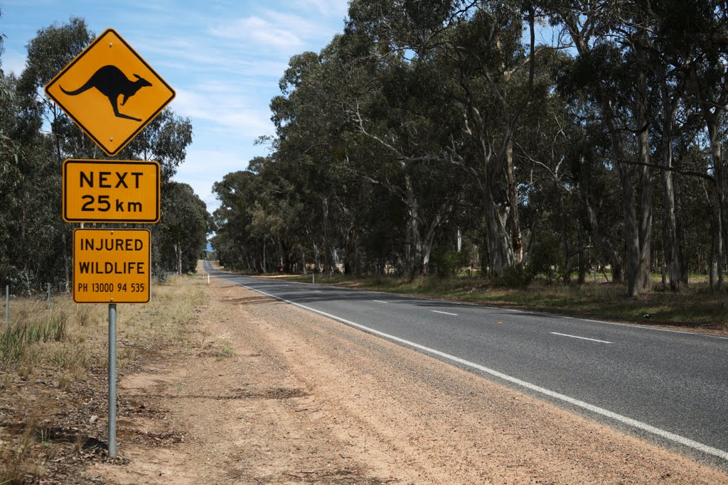
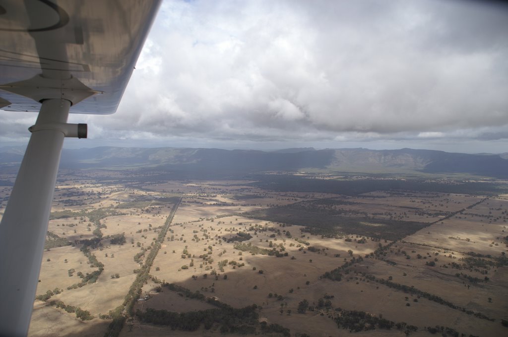
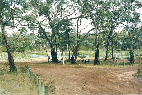
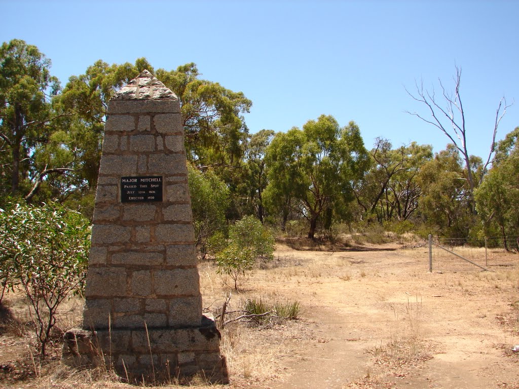
Photos of McKenzie Creek
McKenzie Creek Weather

Predicción: Broken clouds
Temperatura: 12.3°
Humedad: 84%
Hora actual: 02:28 AM
Amanece: 06:58 AM
Anochece: 06:02 PM
Deep Lead, Australia
Latitude: -37.0142 // Longitude: 142.718
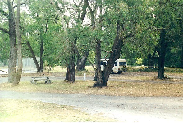
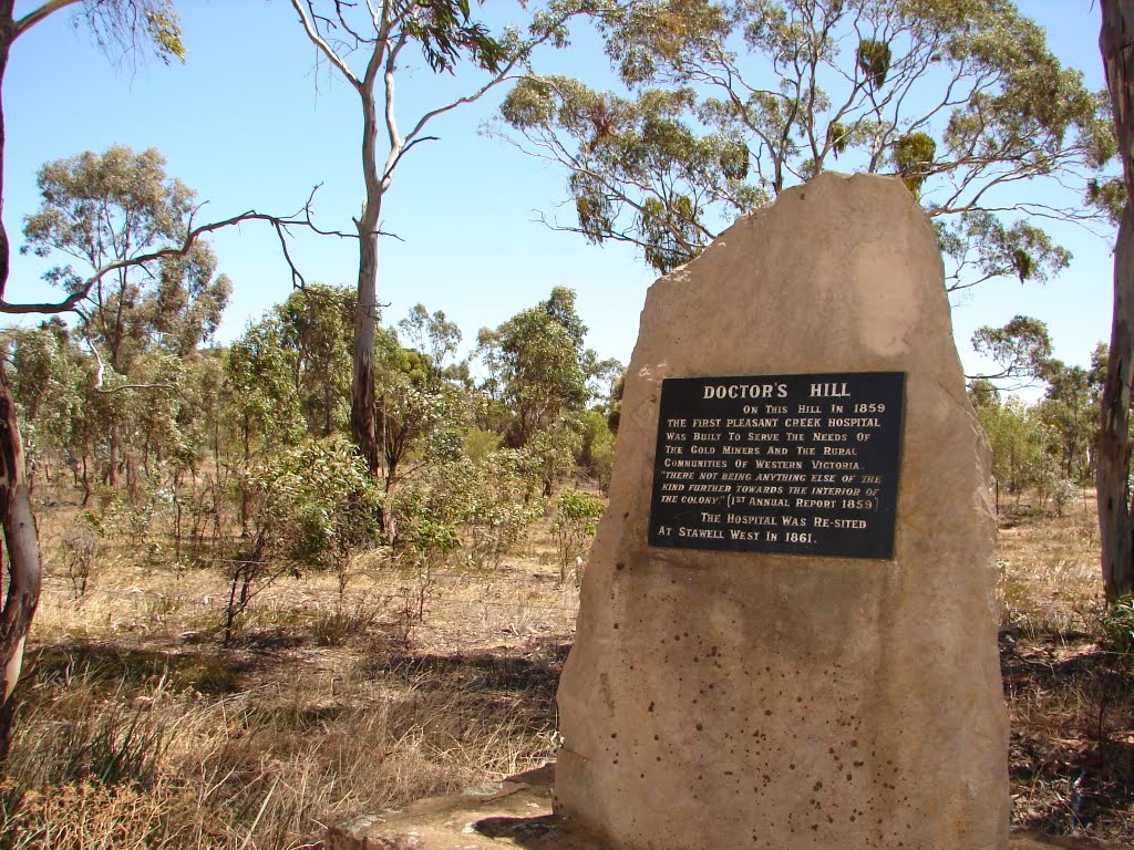
Photos of Deep Lead
Deep Lead Weather

Predicción: Overcast clouds
Temperatura: 10.7°
Humedad: 89%
Hora actual: 02:28 AM
Amanece: 06:56 AM
Anochece: 06:00 PM


