Distance between  Marshall and
  Bonshaw
746.34 mi Straight Distance
910.34 mi Driving Distance
15 hours 20 mins Estimated Driving Time
The straight distance between Marshall (Victoria) and Bonshaw (New South Wales) is 746.34 mi, but the driving distance is 910.34 mi.
It takes to go from Marshall to Bonshaw.
Driving directions from Marshall to Bonshaw
Distance in kilometers
Straight distance: 1,200.86 km. Route distance: 1,464.74 km
Marshall, Australia
Latitude: -38.1971 // Longitude: 144.362
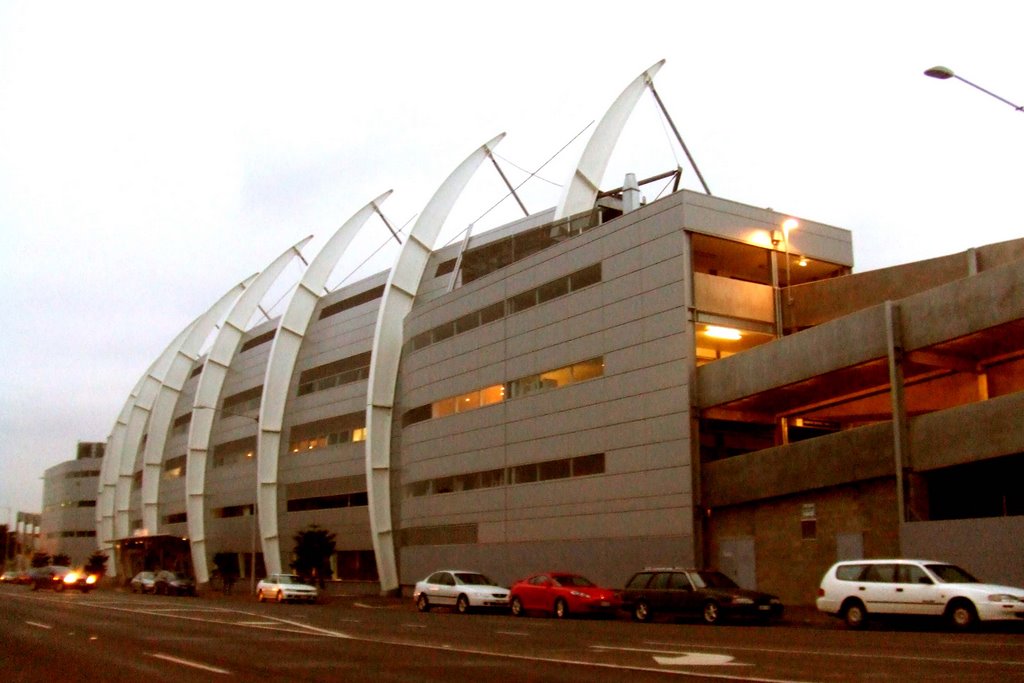
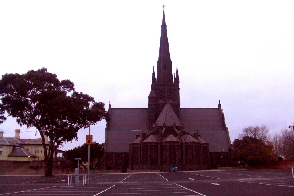
Photos of Marshall
Marshall Weather

Predicción: Overcast clouds
Temperatura: 12.6°
Humedad: 95%
Hora actual: 12:12 AM
Amanece: 06:53 AM
Anochece: 05:49 PM
Bonshaw, Australia
Latitude: -29.0482 // Longitude: 151.277
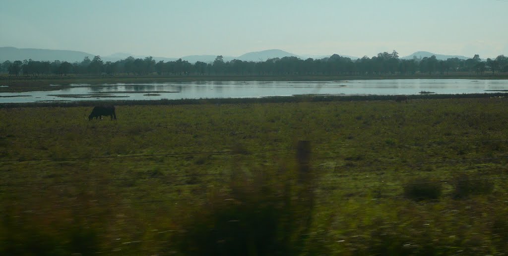
Photos of Bonshaw
Bonshaw Weather

Predicción: Clear sky
Temperatura: 14.8°
Humedad: 90%
Hora actual: 10:00 AM
Amanece: 06:15 AM
Anochece: 05:32 PM


