Distance between  Marraweeny and
  Edi Upper
39.26 mi Straight Distance
66.74 mi Driving Distance
1 hour 21 mins Estimated Driving Time
The straight distance between Marraweeny (Victoria) and Edi Upper (Victoria) is 39.26 mi, but the driving distance is 66.74 mi.
It takes to go from Marraweeny to Edi Upper.
Driving directions from Marraweeny to Edi Upper
Distance in kilometers
Straight distance: 63.17 km. Route distance: 107.39 km
Marraweeny, Australia
Latitude: -36.7479 // Longitude: 145.745
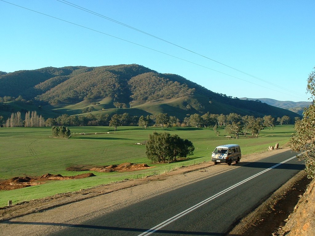
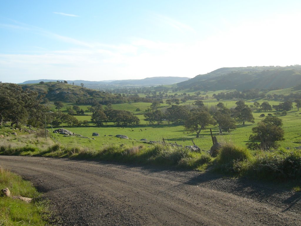
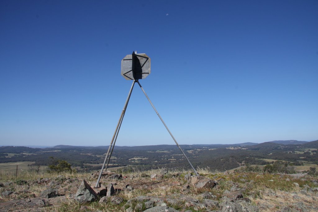
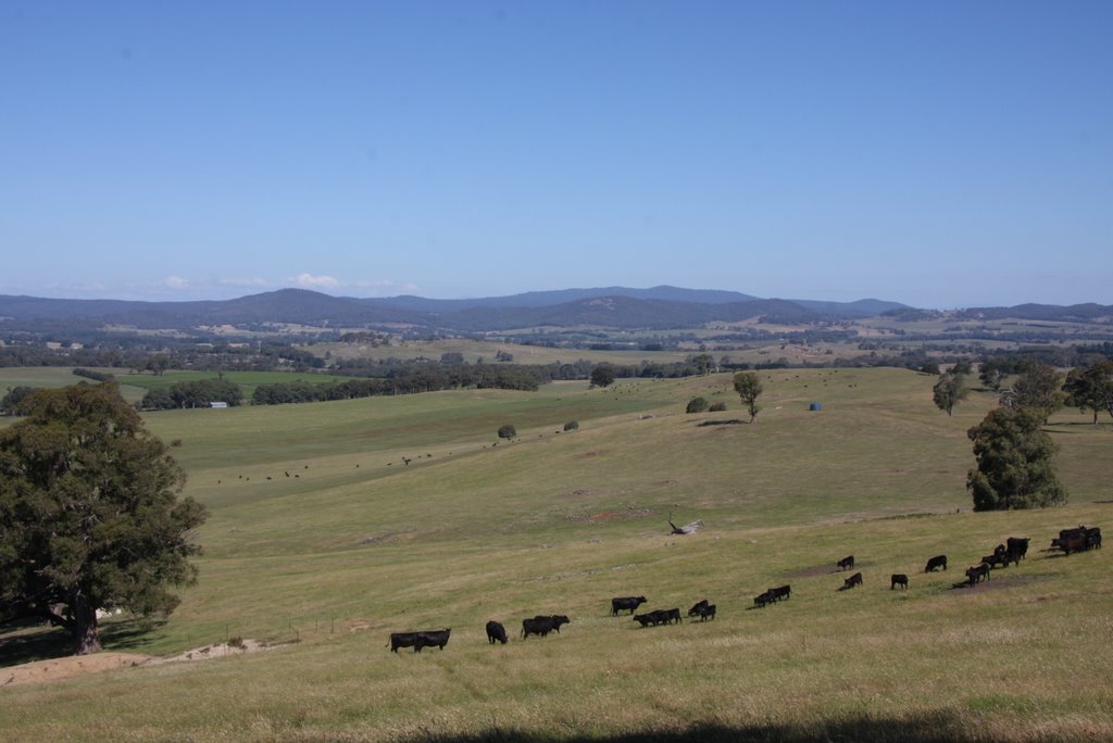
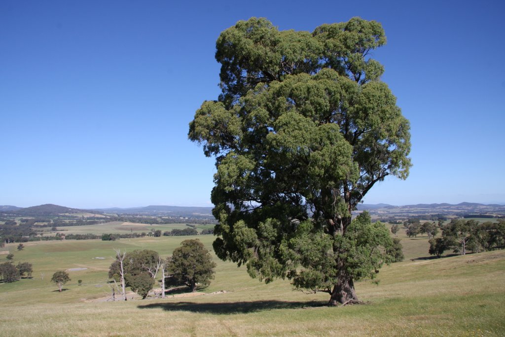
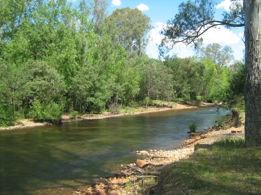
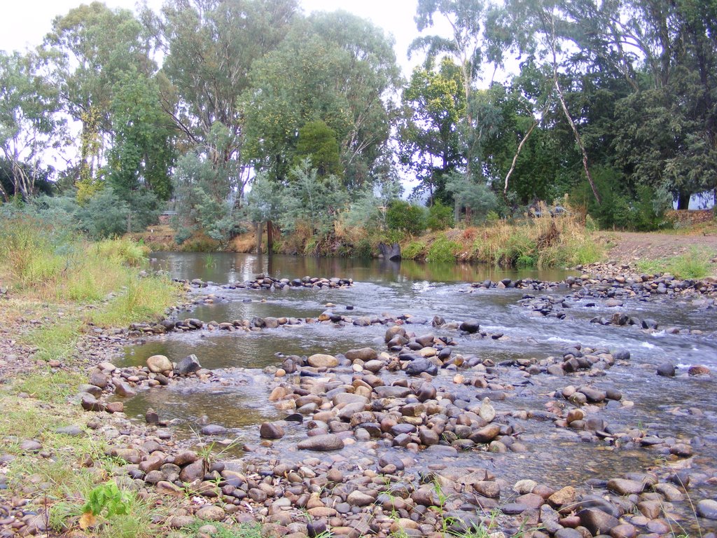
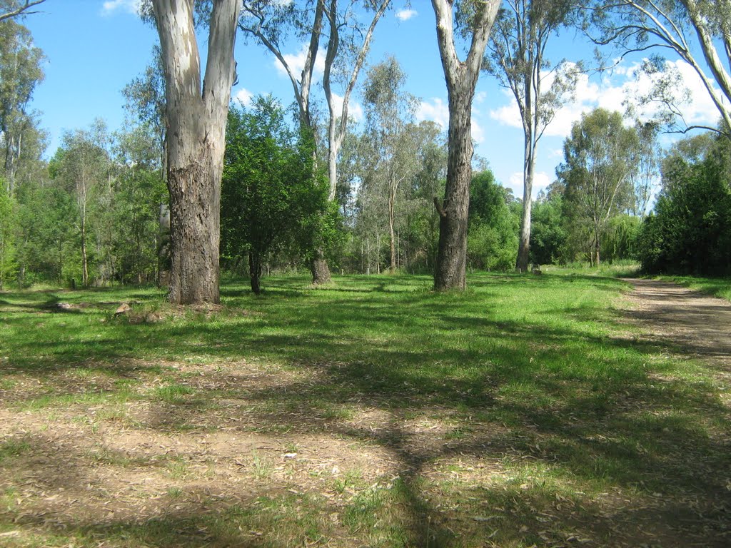
Photos of Marraweeny
Marraweeny Weather

Predicción: Overcast clouds
Temperatura: 10.6°
Humedad: 67%
Hora actual: 12:00 AM
Amanece: 08:45 PM
Anochece: 07:46 AM
Edi Upper, Australia
Latitude: -36.7063 // Longitude: 146.452
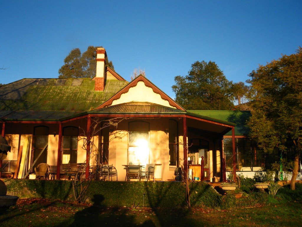
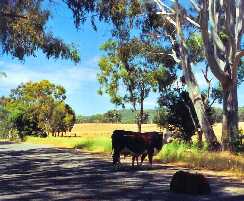
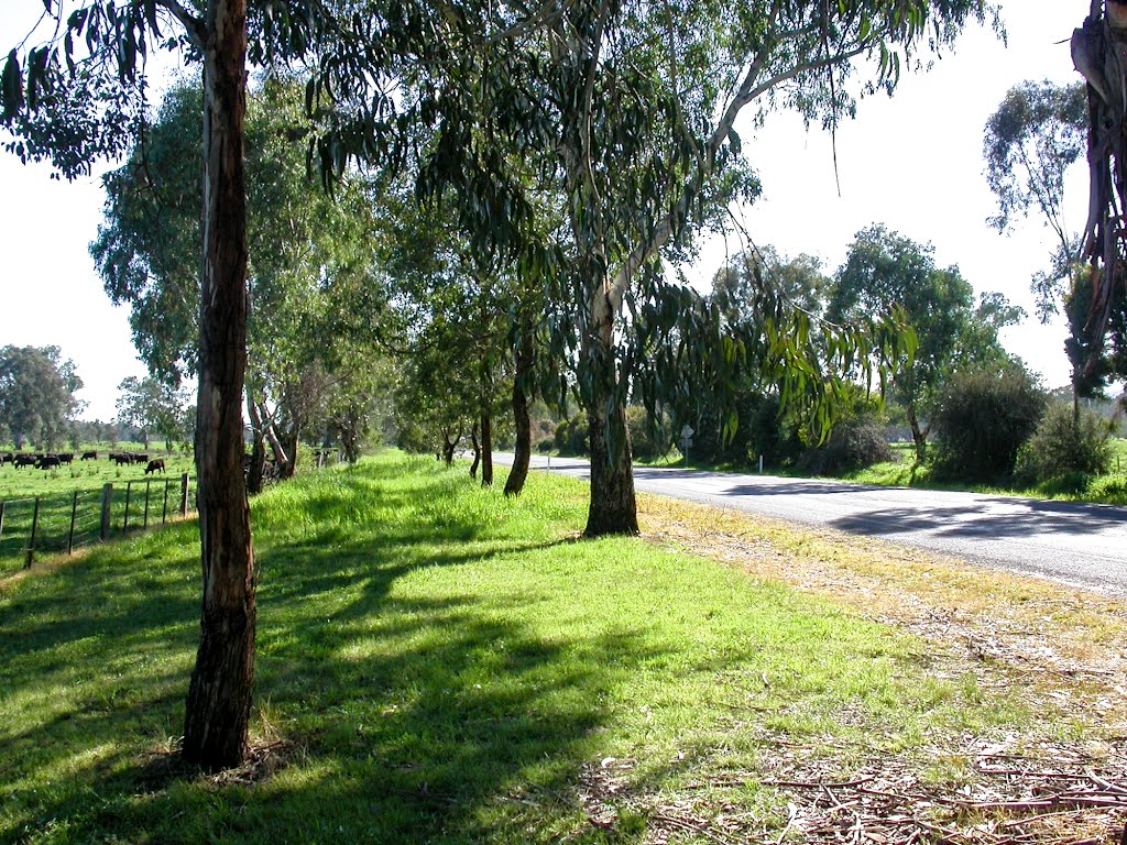
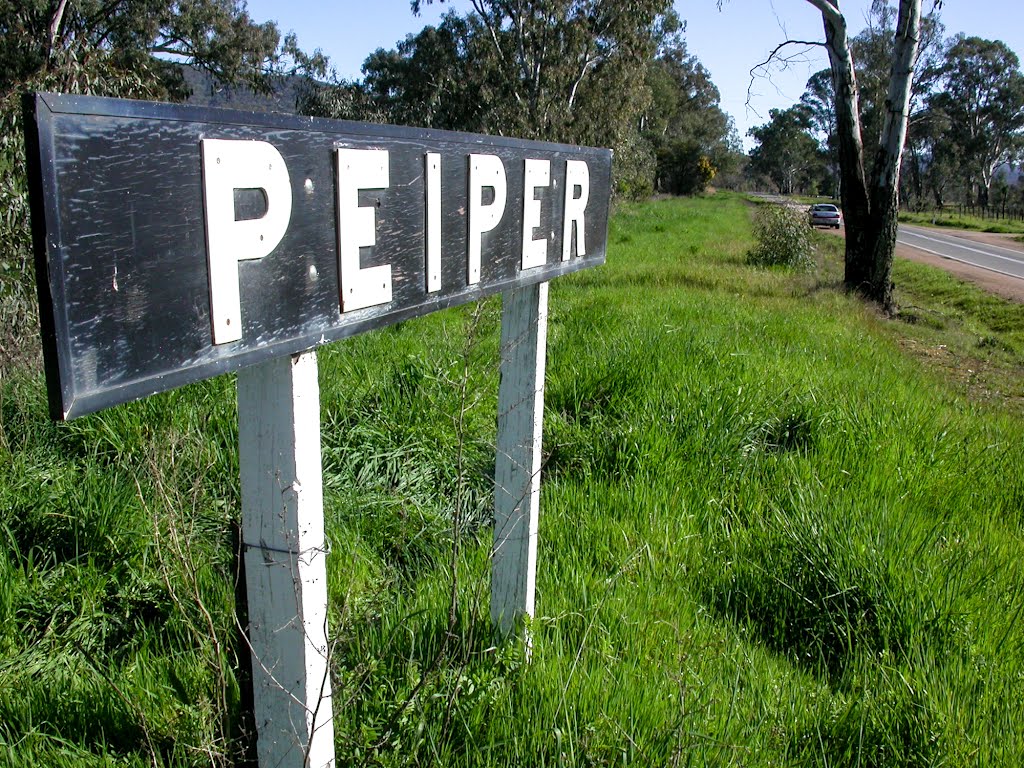
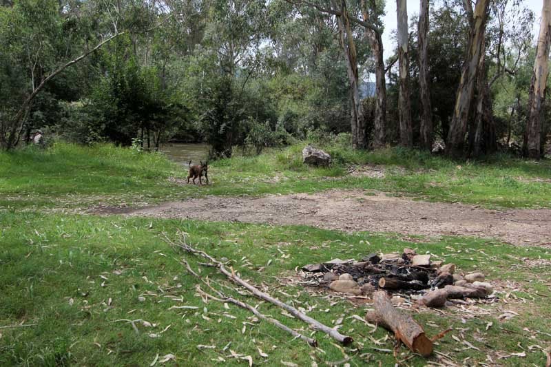
Photos of Edi Upper
Edi Upper Weather

Predicción: Broken clouds
Temperatura: 12.0°
Humedad: 65%
Hora actual: 12:00 AM
Amanece: 08:42 PM
Anochece: 07:44 AM


