Distance between  Marrabel and
  Lock
Lock
183.43 mi Straight Distance
311.88 mi Driving Distance
5 hours 4 mins Estimated Driving Time
The straight distance between Marrabel (South Australia) and Lock (South Australia) is 183.43 mi, but the driving distance is 311.88 mi.
It takes to go from Marrabel to Lock.
Driving directions from Marrabel to Lock
Distance in kilometers
Straight distance: 295.14 km. Route distance: 501.82 km
Marrabel, Australia
Latitude: -34.1436 // Longitude: 138.878
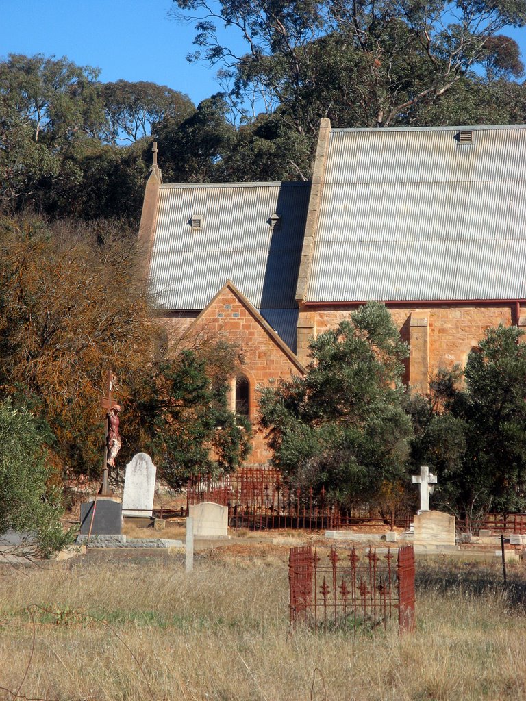
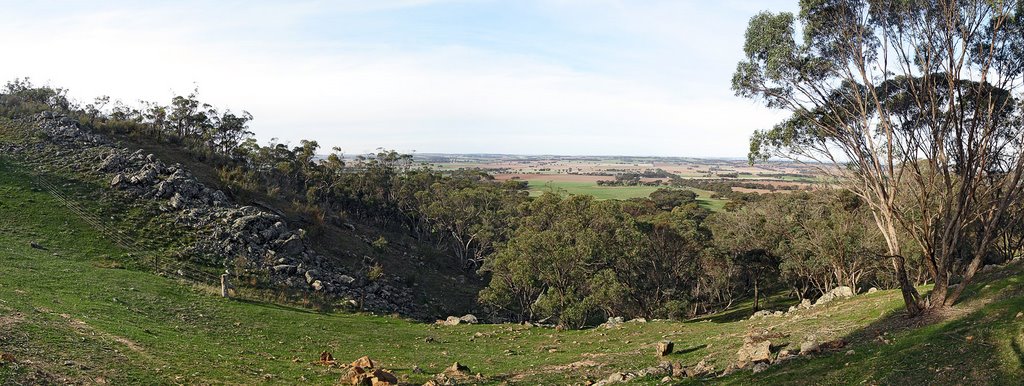
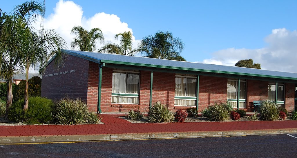
Photos of Marrabel
Marrabel Weather

Predicción: Scattered clouds
Temperatura: 15.3°
Humedad: 51%
Hora actual: 12:00 AM
Amanece: 09:10 PM
Anochece: 08:16 AM
Lock, Australia
Latitude: -33.5682 // Longitude: 135.757
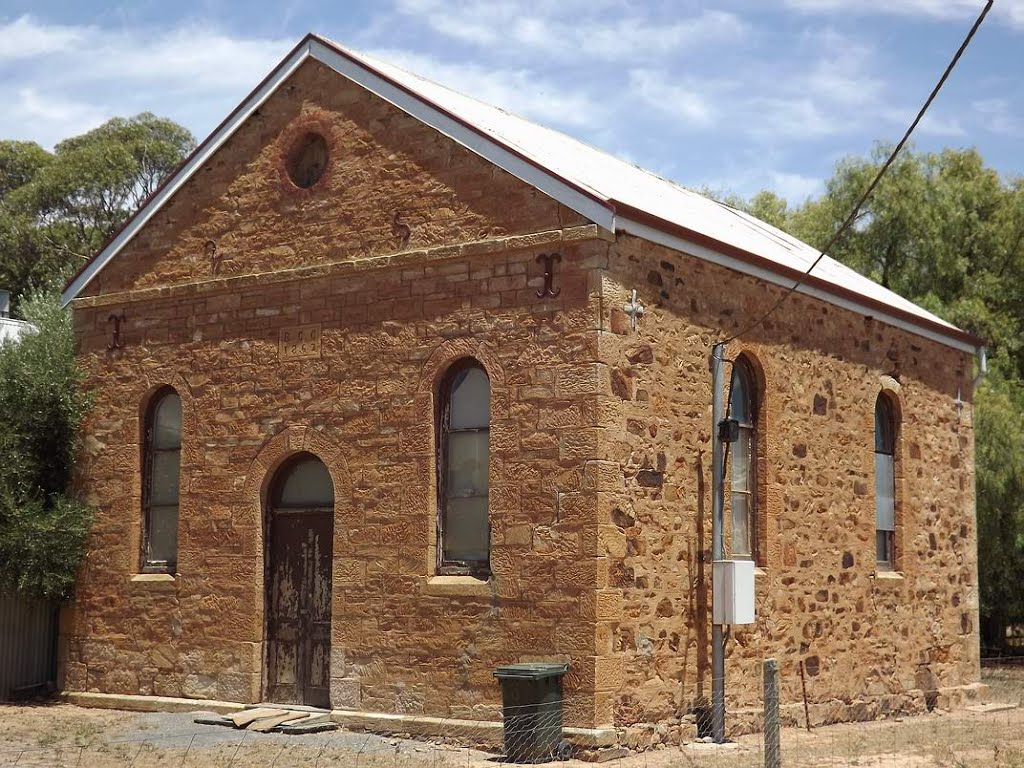
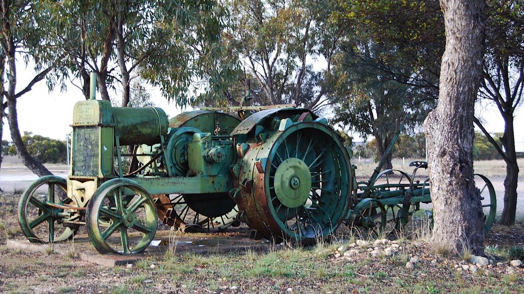
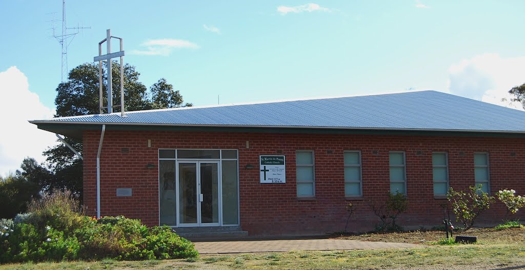
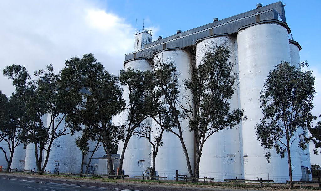
Photos of Lock
Lock Weather

Predicción: Few clouds
Temperatura: 18.2°
Humedad: 46%
Hora actual: 10:23 AM
Amanece: 06:52 AM
Anochece: 05:59 PM


