Distance between  Maroochydore and
  Howard
97.46 mi Straight Distance
120.63 mi Driving Distance
2 hours 22 mins Estimated Driving Time
The straight distance between Maroochydore (Queensland) and Howard (Queensland) is 97.46 mi, but the driving distance is 120.63 mi.
It takes 2 hours 13 mins to go from Maroochydore to Howard.
Driving directions from Maroochydore to Howard
Distance in kilometers
Straight distance: 156.81 km. Route distance: 194.10 km
Maroochydore, Australia
Latitude: -26.6518 // Longitude: 153.089
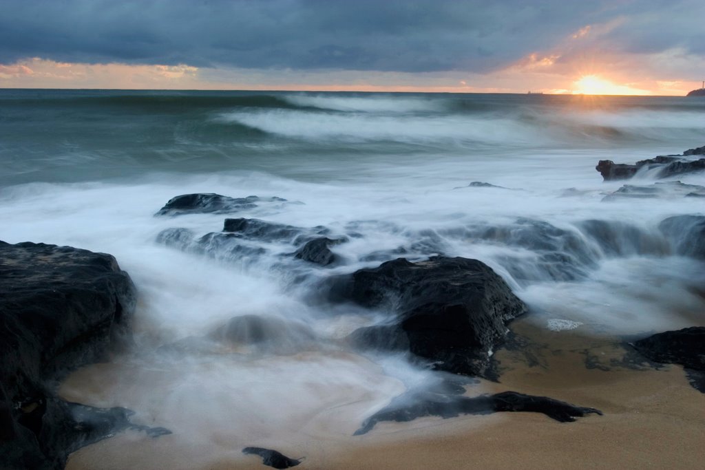
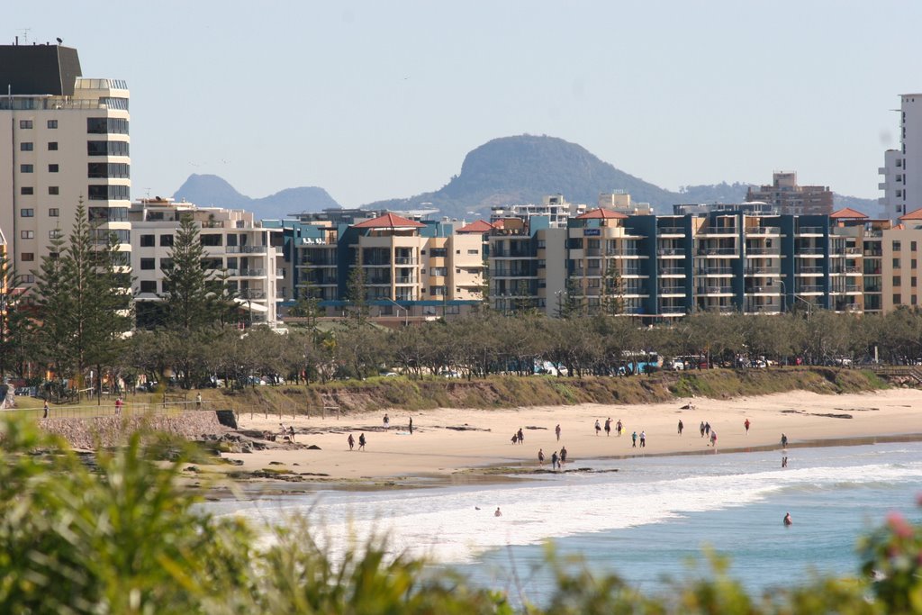
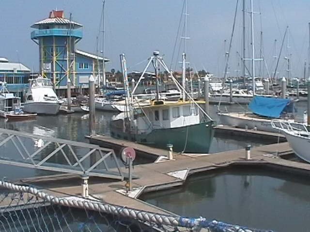
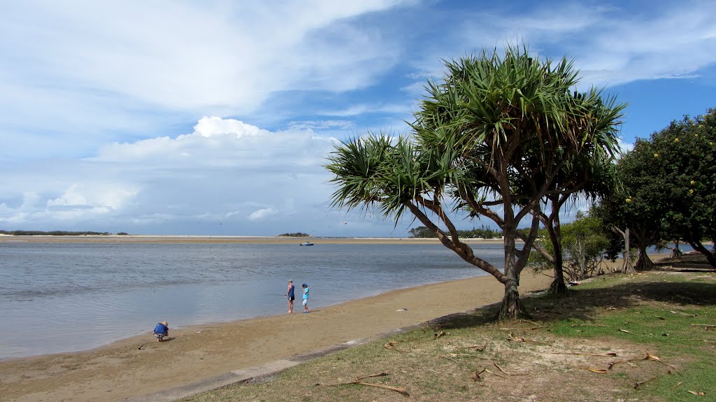
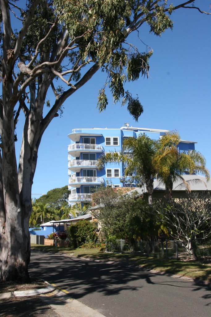
Photos of Maroochydore
Maroochydore Weather

Predicción: Overcast clouds
Temperatura: 22.3°
Humedad: 94%
Hora actual: 06:19 PM
Amanece: 06:05 AM
Anochece: 05:28 PM
Howard, Australia
Latitude: -25.3245 // Longitude: 152.558
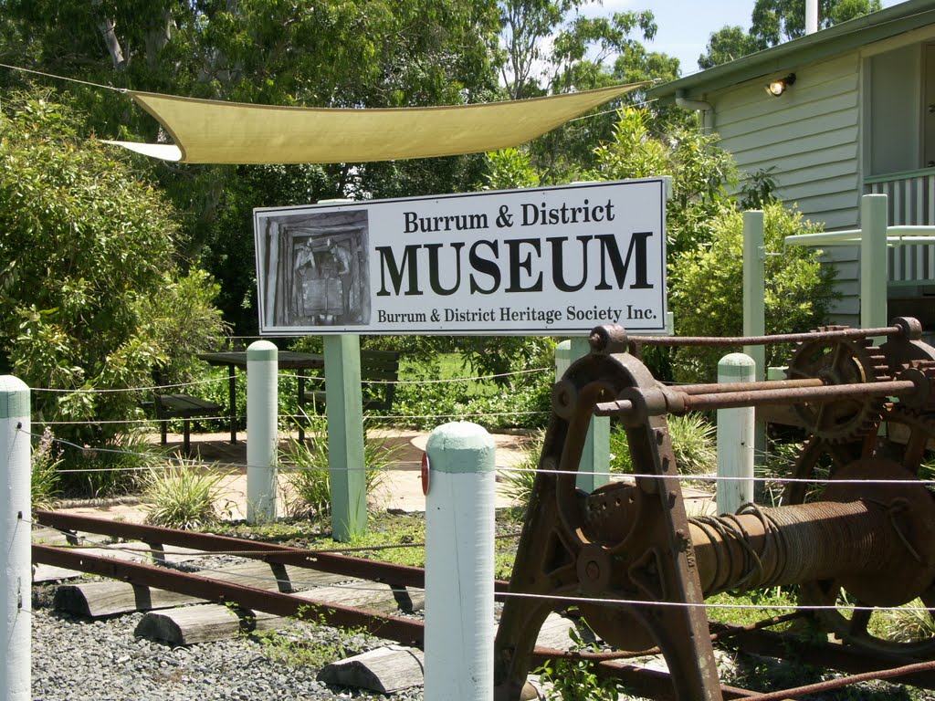
Photos of Howard
Howard Weather

Predicción: Few clouds
Temperatura: 23.9°
Humedad: 91%
Hora actual: 06:19 PM
Amanece: 06:06 AM
Anochece: 05:31 PM


