Distance between  Markwood and
  Barnawartha North
29.90 mi Straight Distance
43.83 mi Driving Distance
52 minutes Estimated Driving Time
The straight distance between Markwood (Victoria) and Barnawartha North (Victoria) is 29.90 mi, but the driving distance is 43.83 mi.
It takes to go from Markwood to Barnawartha North.
Driving directions from Markwood to Barnawartha North
Distance in kilometers
Straight distance: 48.11 km. Route distance: 70.52 km
Markwood, Australia
Latitude: -36.458 // Longitude: 146.496
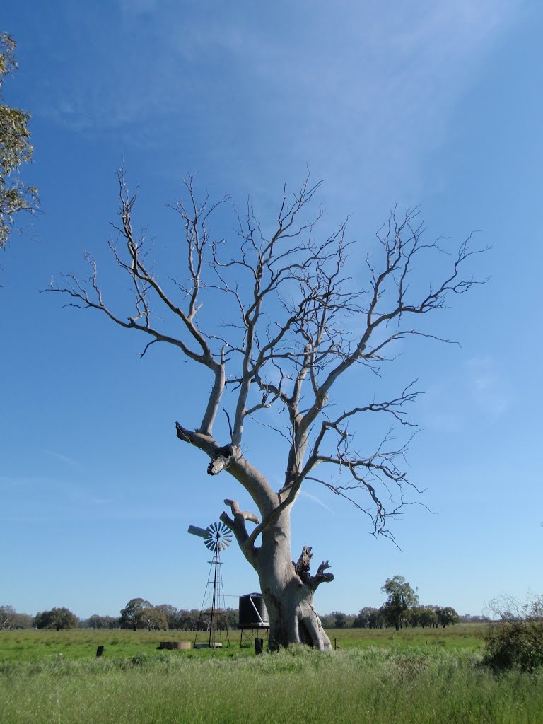
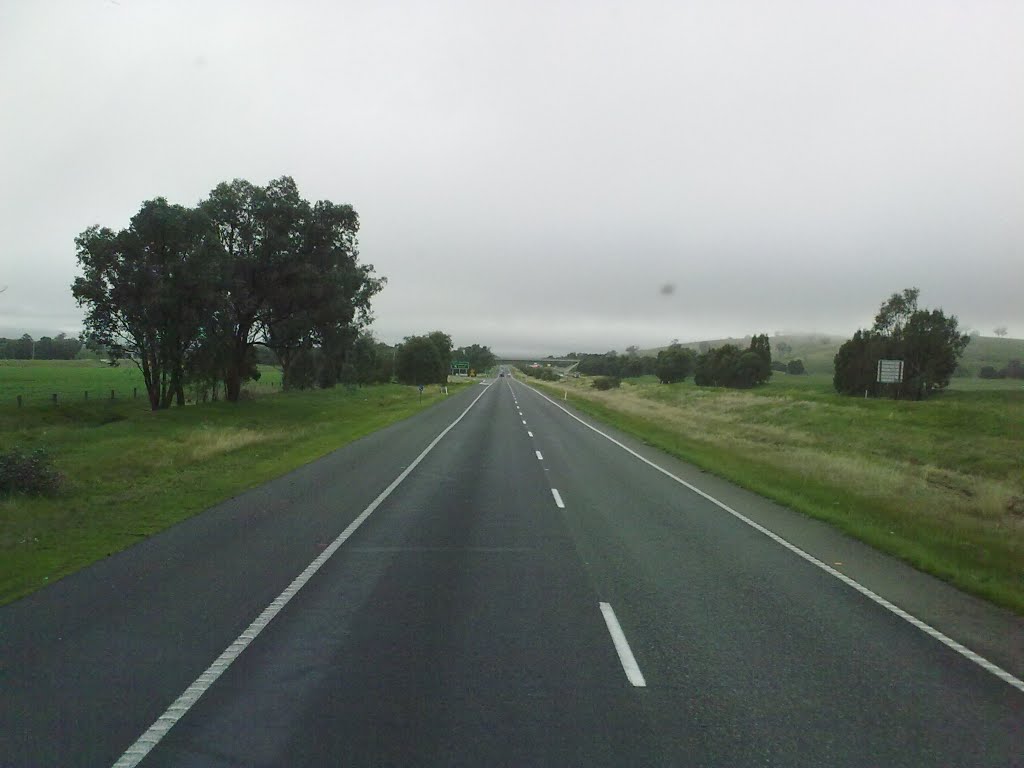
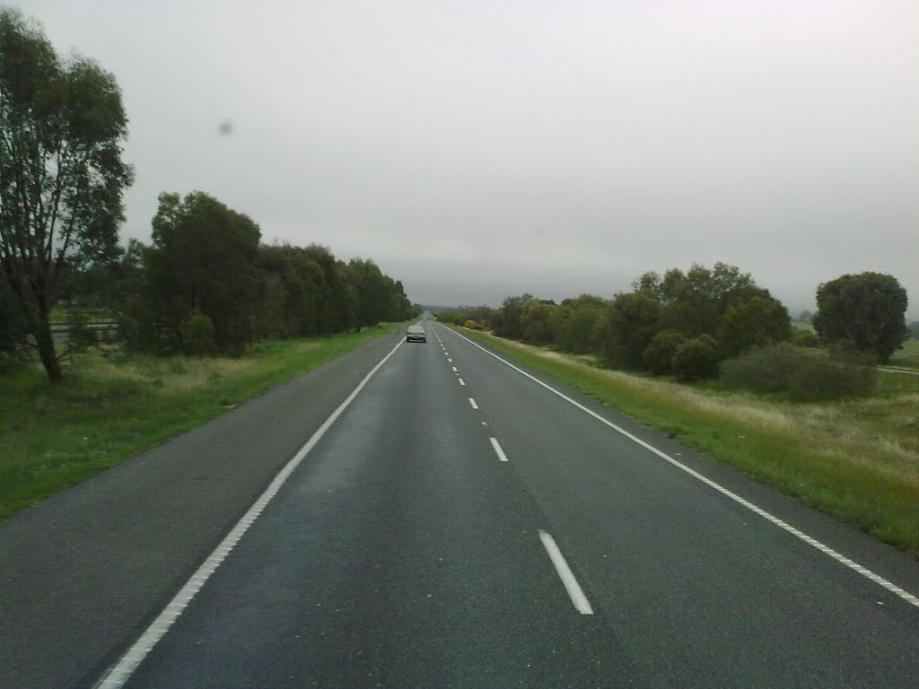
Photos of Markwood
Markwood Weather

Predicción: Broken clouds
Temperatura: 9.6°
Humedad: 79%
Hora actual: 10:02 PM
Amanece: 06:41 AM
Anochece: 05:44 PM
Barnawartha North, Australia
Latitude: -36.0705 // Longitude: 146.735
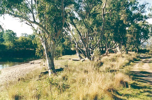
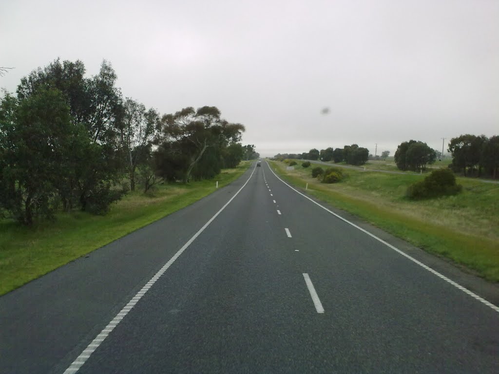
Photos of Barnawartha North
Barnawartha North Weather

Predicción: Broken clouds
Temperatura: 11.6°
Humedad: 59%
Hora actual: 10:02 PM
Amanece: 06:40 AM
Anochece: 05:44 PM


