Distance between  Mantung and
  Mambray Creek
171.20 mi Straight Distance
213.01 mi Driving Distance
3 hours 22 mins Estimated Driving Time
The straight distance between Mantung (South Australia) and Mambray Creek (South Australia) is 171.20 mi, but the driving distance is 213.01 mi.
It takes to go from Mantung to Mambray Creek.
Driving directions from Mantung to Mambray Creek
Distance in kilometers
Straight distance: 275.46 km. Route distance: 342.73 km
Mantung, Australia
Latitude: -34.5902 // Longitude: 140.077
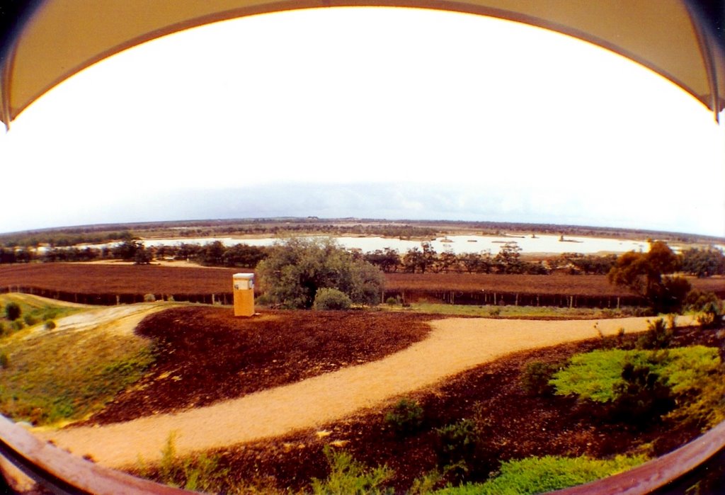
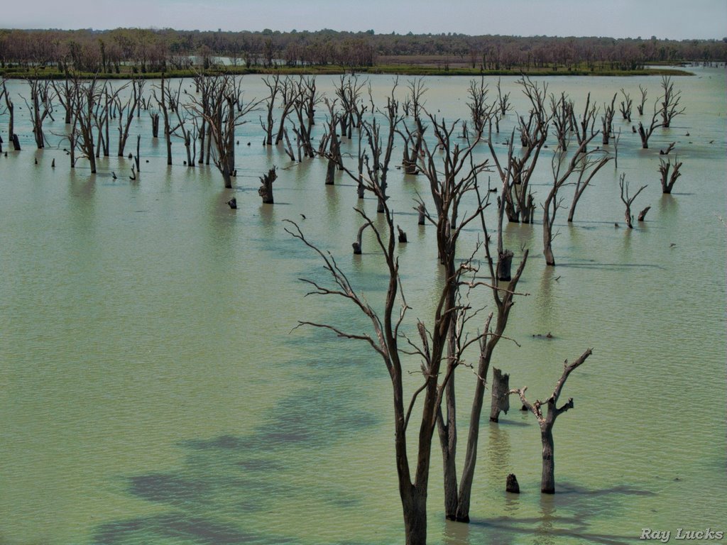
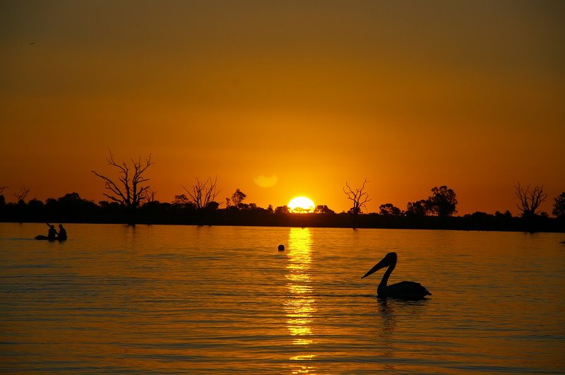
Photos of Mantung
Mantung Weather

Predicción: Clear sky
Temperatura: 16.2°
Humedad: 57%
Hora actual: 12:00 AM
Amanece: 09:04 PM
Anochece: 08:14 AM
Mambray Creek, Australia
Latitude: -32.8303 // Longitude: 137.98
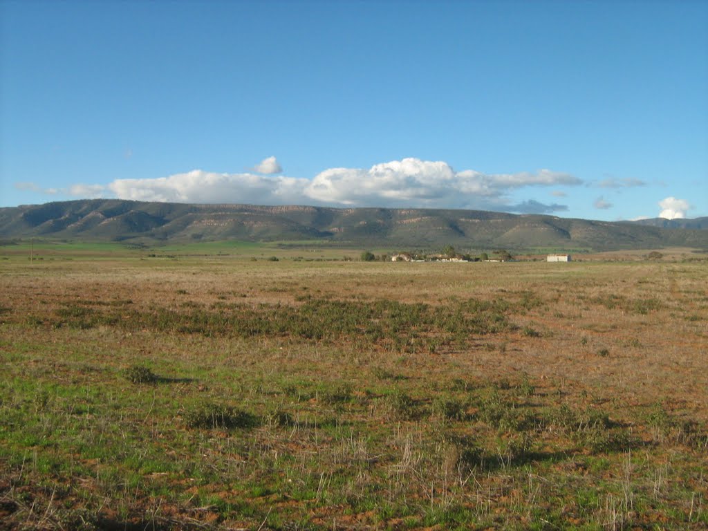
Photos of Mambray Creek
Mambray Creek Weather

Predicción: Clear sky
Temperatura: 16.2°
Humedad: 52%
Hora actual: 12:00 AM
Amanece: 09:10 PM
Anochece: 08:24 AM


