Distance between  Mansfield and
  Wangandary
50.68 mi Straight Distance
68.69 mi Driving Distance
1 hour 18 mins Estimated Driving Time
The straight distance between Mansfield (Victoria) and Wangandary (Victoria) is 50.68 mi, but the driving distance is 68.69 mi.
It takes to go from Mansfield to Wangandary.
Driving directions from Mansfield to Wangandary
Distance in kilometers
Straight distance: 81.55 km. Route distance: 110.51 km
Mansfield, Australia
Latitude: -37.0532 // Longitude: 146.086
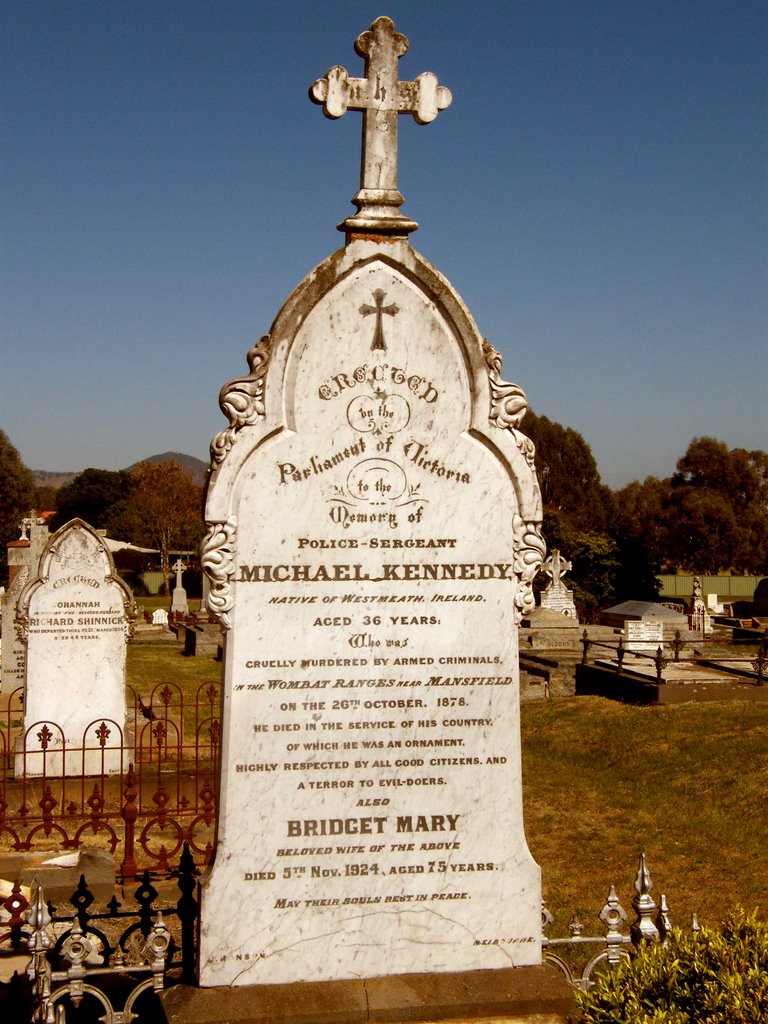
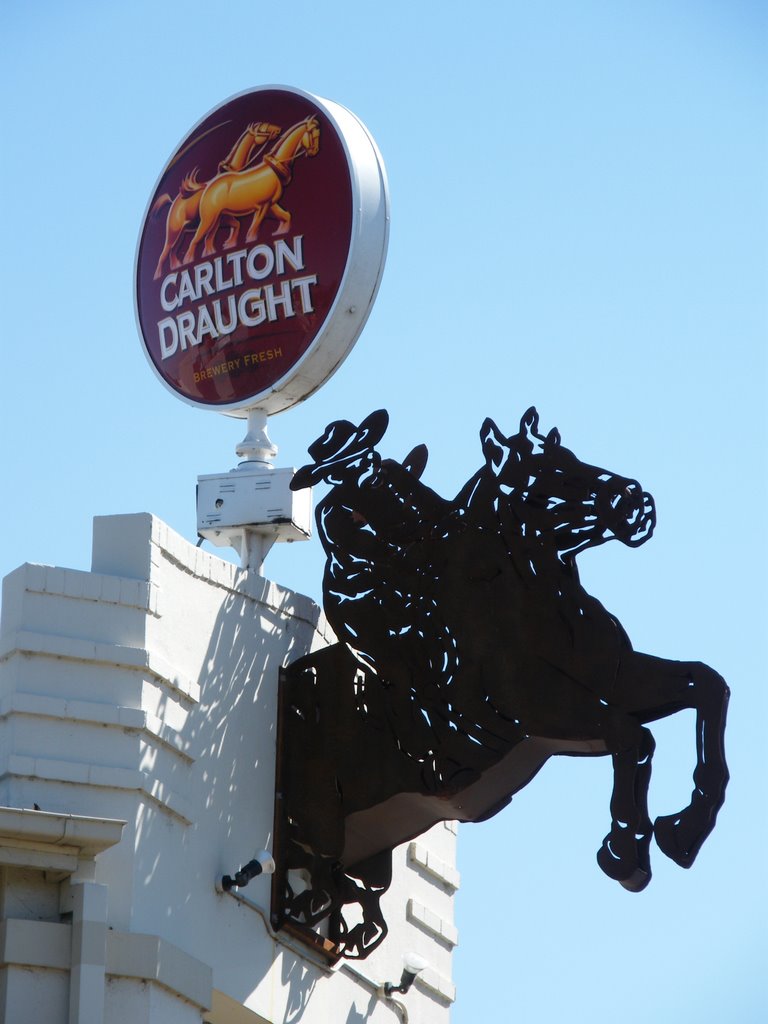
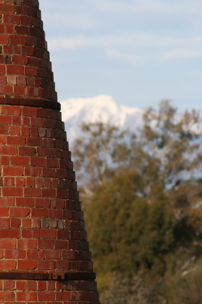
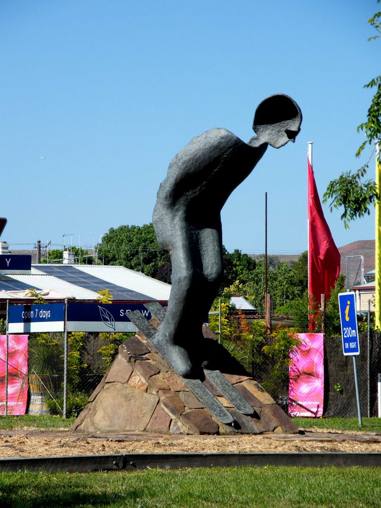
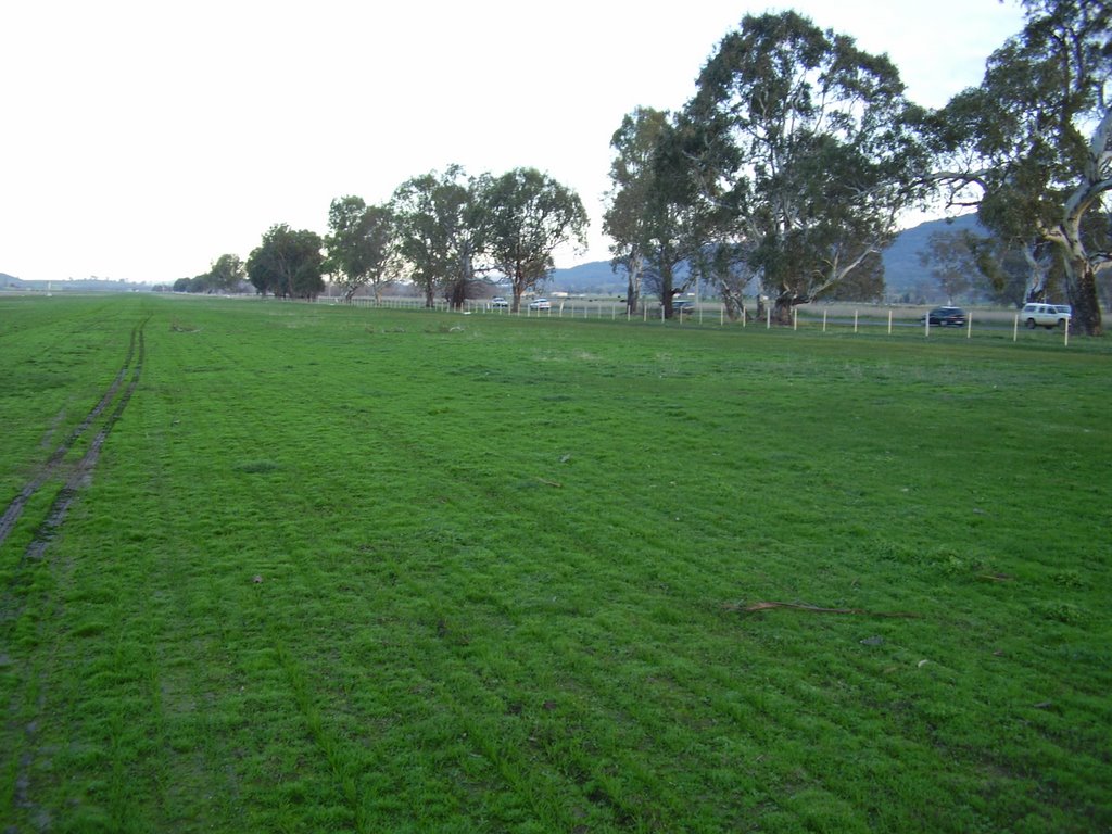
Photos of Mansfield
Mansfield Weather

Predicción: Scattered clouds
Temperatura: 11.9°
Humedad: 80%
Hora actual: 08:52 AM
Amanece: 06:45 AM
Anochece: 05:44 PM
Wangandary, Australia
Latitude: -36.3304 // Longitude: 146.242
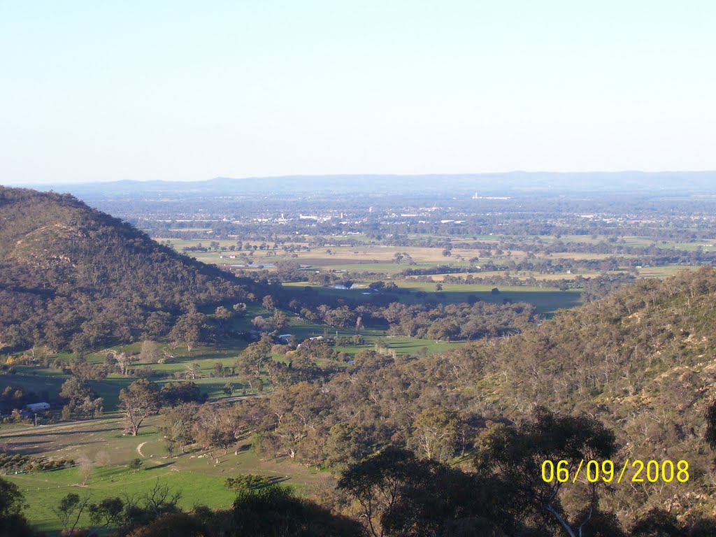
Photos of Wangandary
Wangandary Weather

Predicción: Scattered clouds
Temperatura: 12.9°
Humedad: 72%
Hora actual: 08:52 AM
Amanece: 06:43 AM
Anochece: 05:44 PM


