Distance between  Mansfield and
  Myrtleford
49.06 mi Straight Distance
75.66 mi Driving Distance
1 hour 25 mins Estimated Driving Time
The straight distance between Mansfield (Victoria) and Myrtleford (Victoria) is 49.06 mi, but the driving distance is 75.66 mi.
It takes 1 hour 39 mins to go from Mansfield to Myrtleford.
Driving directions from Mansfield to Myrtleford
Distance in kilometers
Straight distance: 78.93 km. Route distance: 121.73 km
Mansfield, Australia
Latitude: -37.0532 // Longitude: 146.086
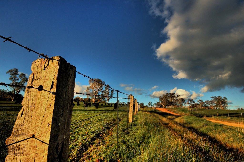
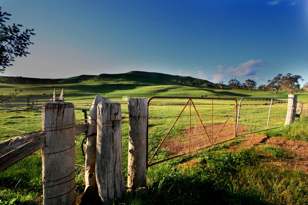
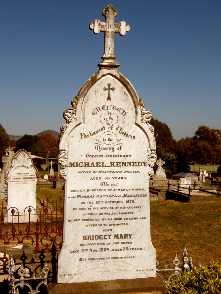
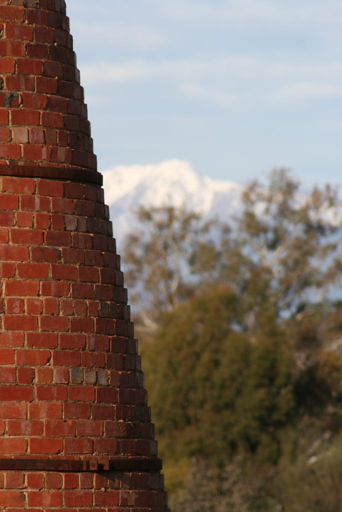
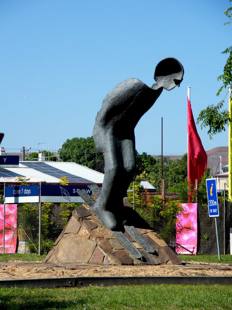
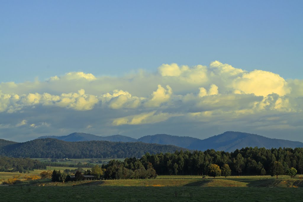
Photos of Mansfield
Mansfield Weather

Predicción: Overcast clouds
Temperatura: 9.4°
Humedad: 88%
Hora actual: 11:02 PM
Amanece: 06:42 AM
Anochece: 05:48 PM
Myrtleford, Australia
Latitude: -36.5617 // Longitude: 146.726
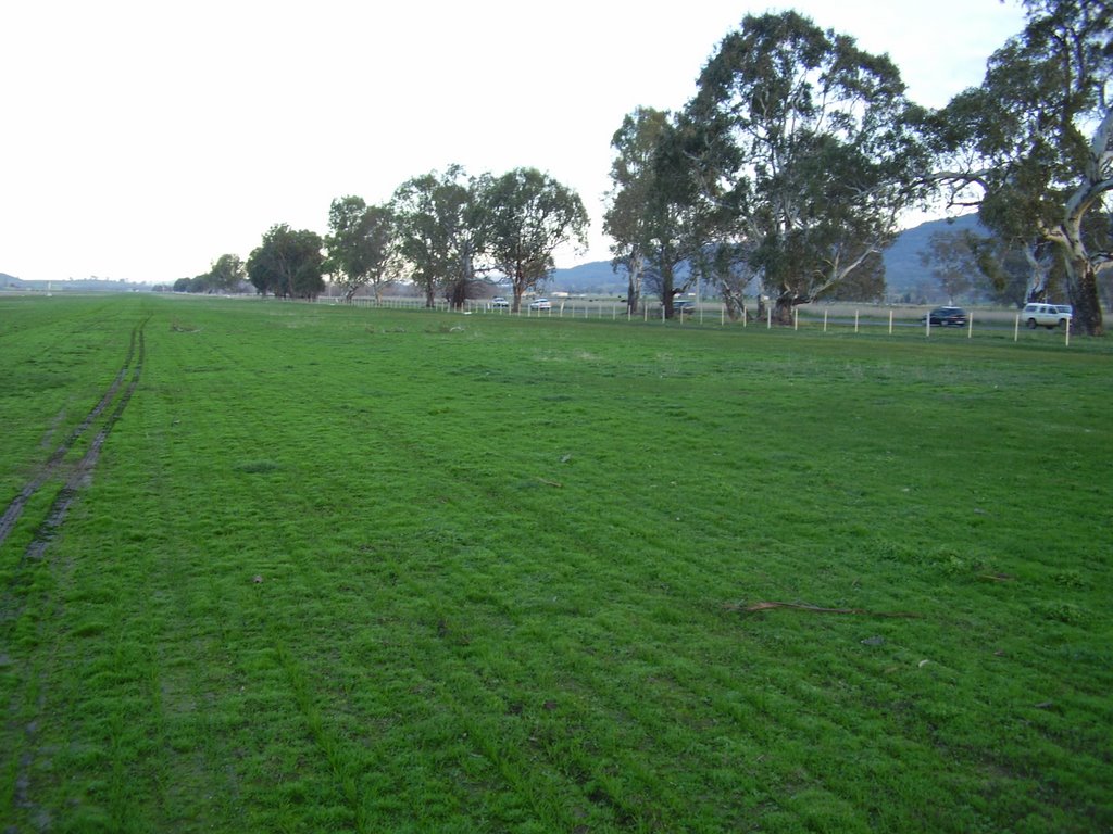
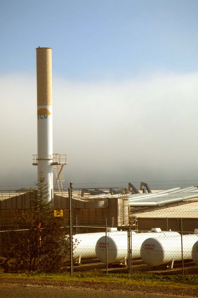
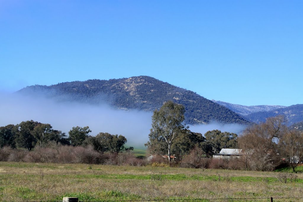
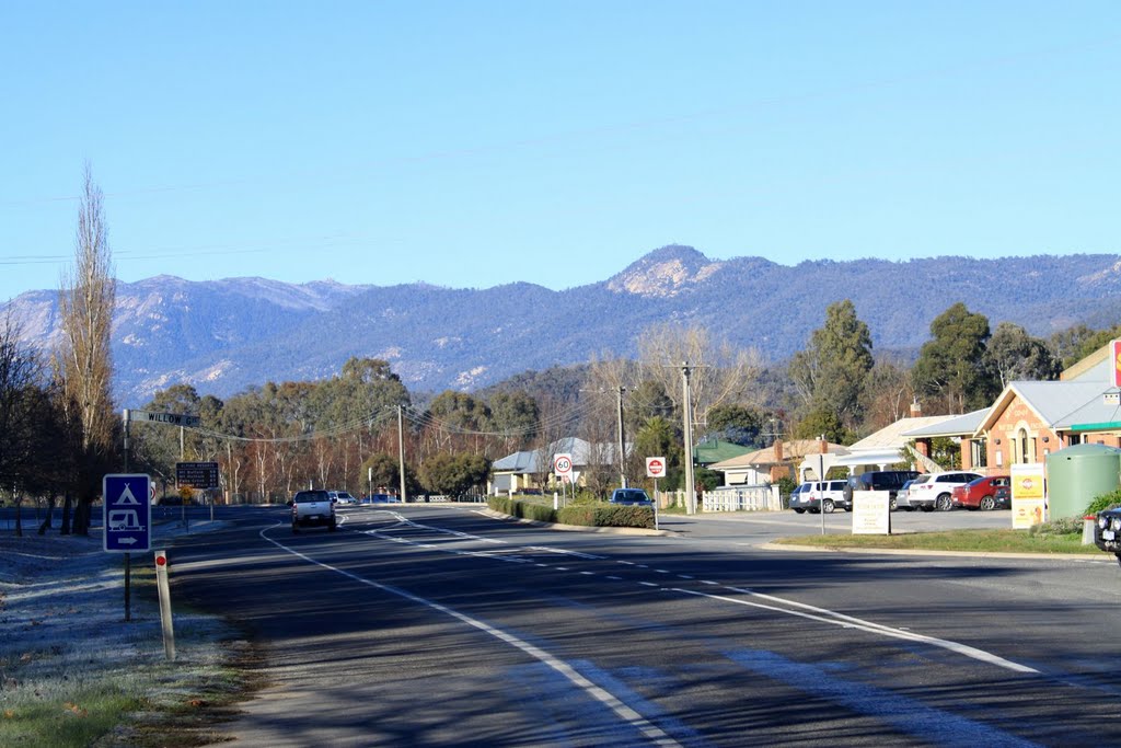
Photos of Myrtleford
Myrtleford Weather

Predicción: Overcast clouds
Temperatura: 11.0°
Humedad: 77%
Hora actual: 11:02 PM
Amanece: 06:39 AM
Anochece: 05:46 PM


