Distance between  Manilla and
  Ebor
Ebor
99.86 mi Straight Distance
141.50 mi Driving Distance
2 hours 34 mins Estimated Driving Time
The straight distance between Manilla (New South Wales) and Ebor (New South Wales) is 99.86 mi, but the driving distance is 141.50 mi.
It takes to go from Manilla to Ebor.
Driving directions from Manilla to Ebor
Distance in kilometers
Straight distance: 160.68 km. Route distance: 227.68 km
Manilla, Australia
Latitude: -30.7477 // Longitude: 150.72
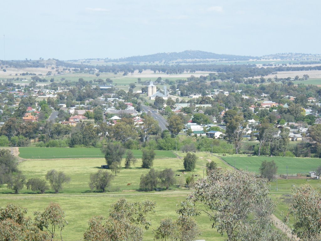
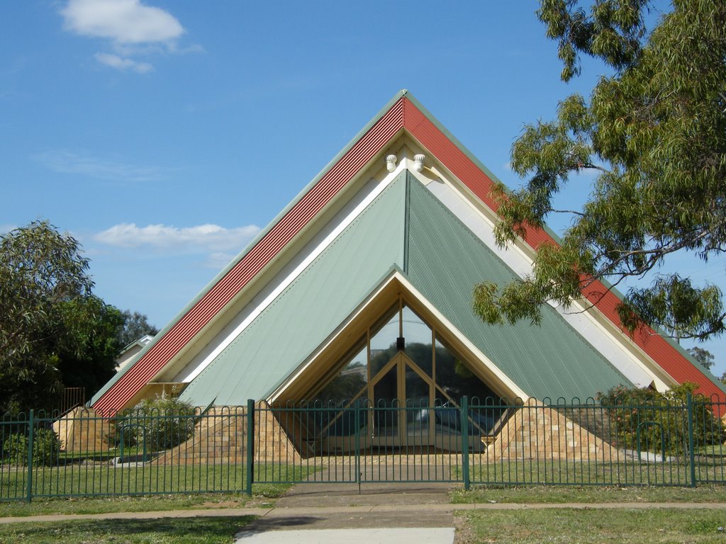
Photos of Manilla
Manilla Weather

Predicción: Clear sky
Temperatura: 13.3°
Humedad: 82%
Hora actual: 09:37 PM
Amanece: 06:18 AM
Anochece: 05:33 PM
Ebor, Australia
Latitude: -30.402 // Longitude: 152.35
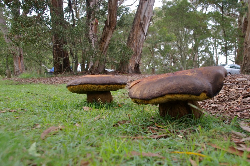
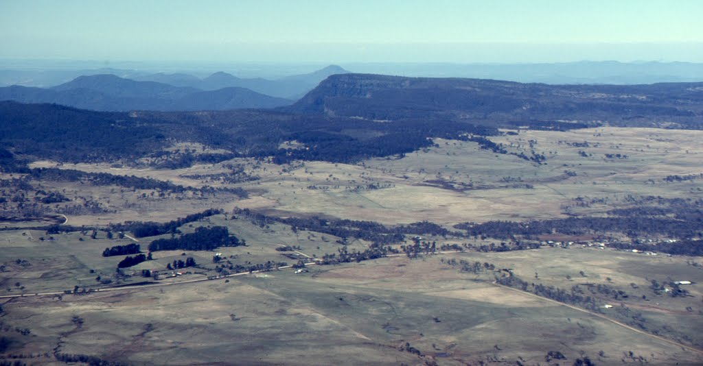
Photos of Ebor
Ebor Weather

Predicción: Broken clouds
Temperatura: 9.6°
Humedad: 96%
Hora actual: 10:00 AM
Amanece: 06:12 AM
Anochece: 05:27 PM


