Distance between  Malua Bay and
  Goonellabah
514.82 mi Straight Distance
637.23 mi Driving Distance
11 hours 22 mins Estimated Driving Time
The straight distance between Malua Bay (New South Wales) and Goonellabah (New South Wales) is 514.82 mi, but the driving distance is 637.23 mi.
It takes to go from Malua Bay to Goonellabah.
Driving directions from Malua Bay to Goonellabah
Distance in kilometers
Straight distance: 828.35 km. Route distance: 1,025.30 km
Malua Bay, Australia
Latitude: -35.7963 // Longitude: 150.227
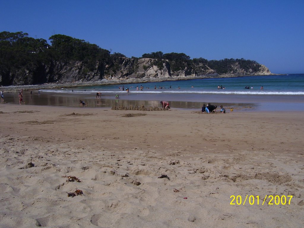
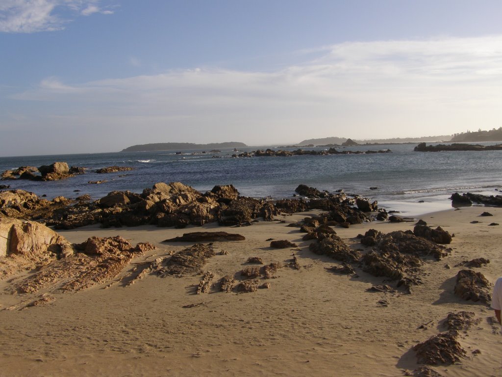
Photos of Malua Bay
Malua Bay Weather

Predicción: Broken clouds
Temperatura: 12.0°
Humedad: 88%
Hora actual: 04:21 AM
Amanece: 06:27 AM
Anochece: 05:29 PM
Goonellabah, Australia
Latitude: -28.82 // Longitude: 153.328
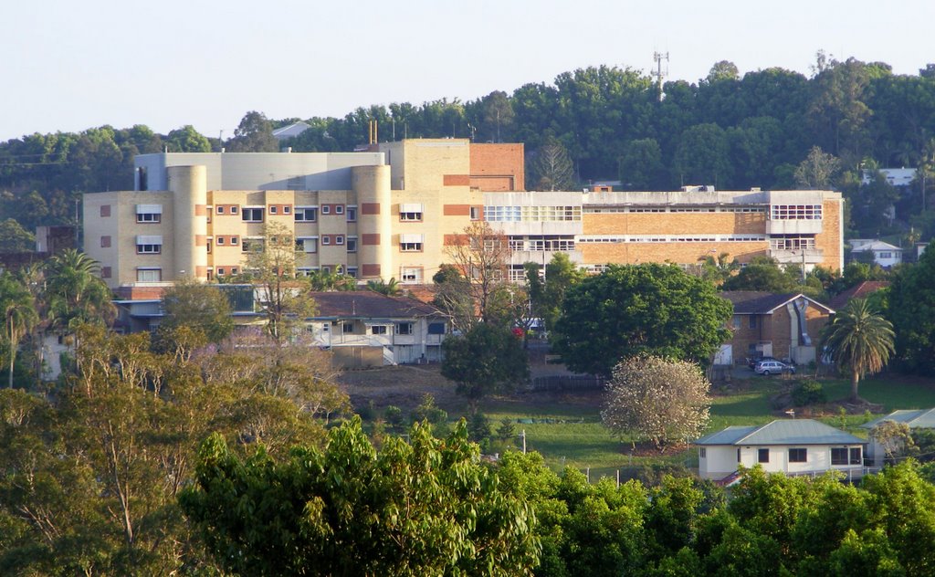
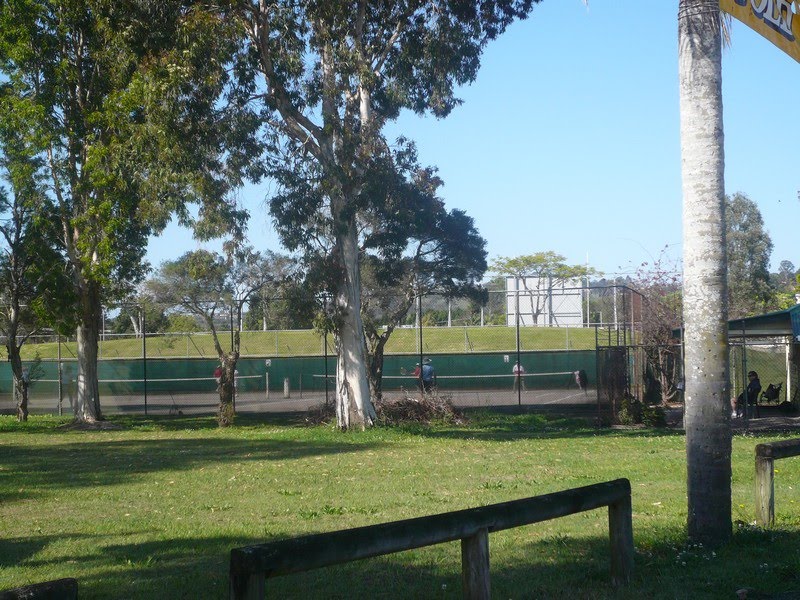
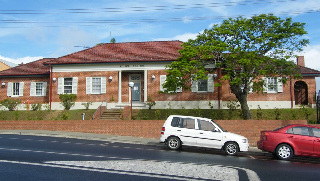
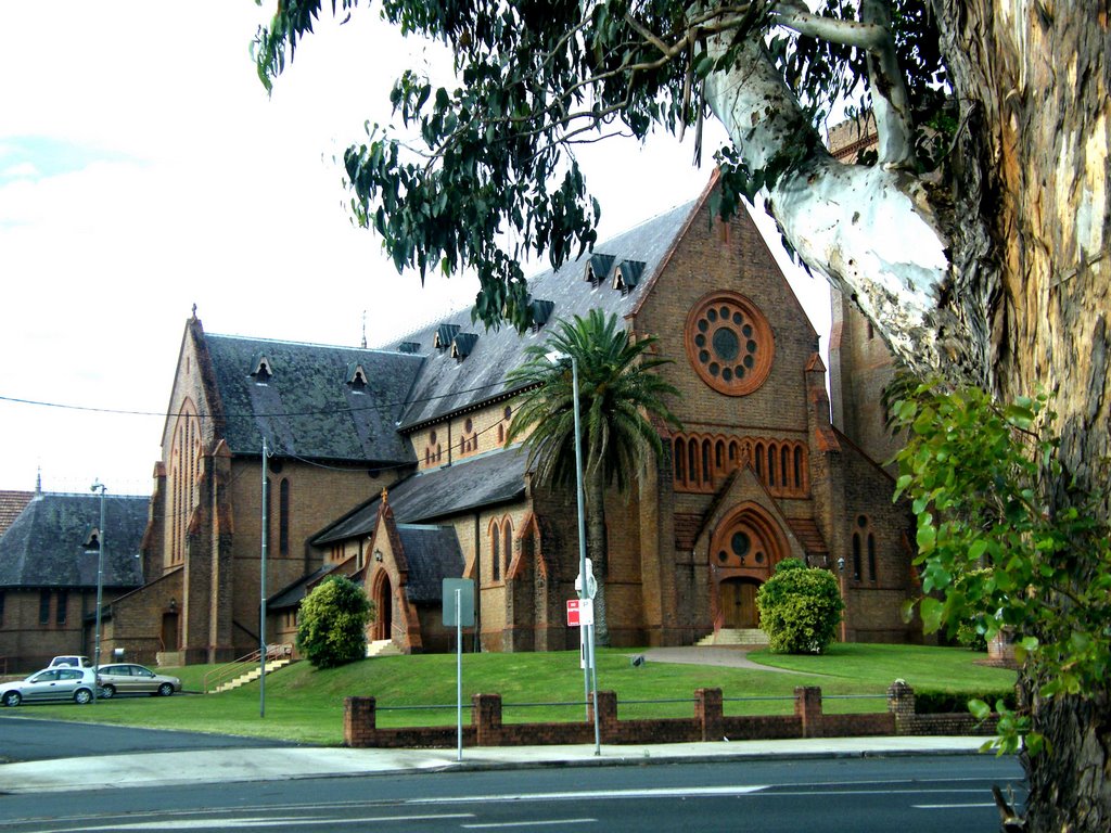
Photos of Goonellabah
Goonellabah Weather

Predicción: Scattered clouds
Temperatura: 13.4°
Humedad: 100%
Hora actual: 04:21 AM
Amanece: 06:07 AM
Anochece: 05:24 PM


