Distance between  Mallacoota and
  Darriman
164.92 mi Straight Distance
213.19 mi Driving Distance
3 hours 41 mins Estimated Driving Time
The straight distance between Mallacoota (Victoria) and Darriman (Victoria) is 164.92 mi, but the driving distance is 213.19 mi.
It takes to go from Mallacoota to Darriman.
Driving directions from Mallacoota to Darriman
Distance in kilometers
Straight distance: 265.35 km. Route distance: 343.02 km
Mallacoota, Australia
Latitude: -37.5576 // Longitude: 149.756
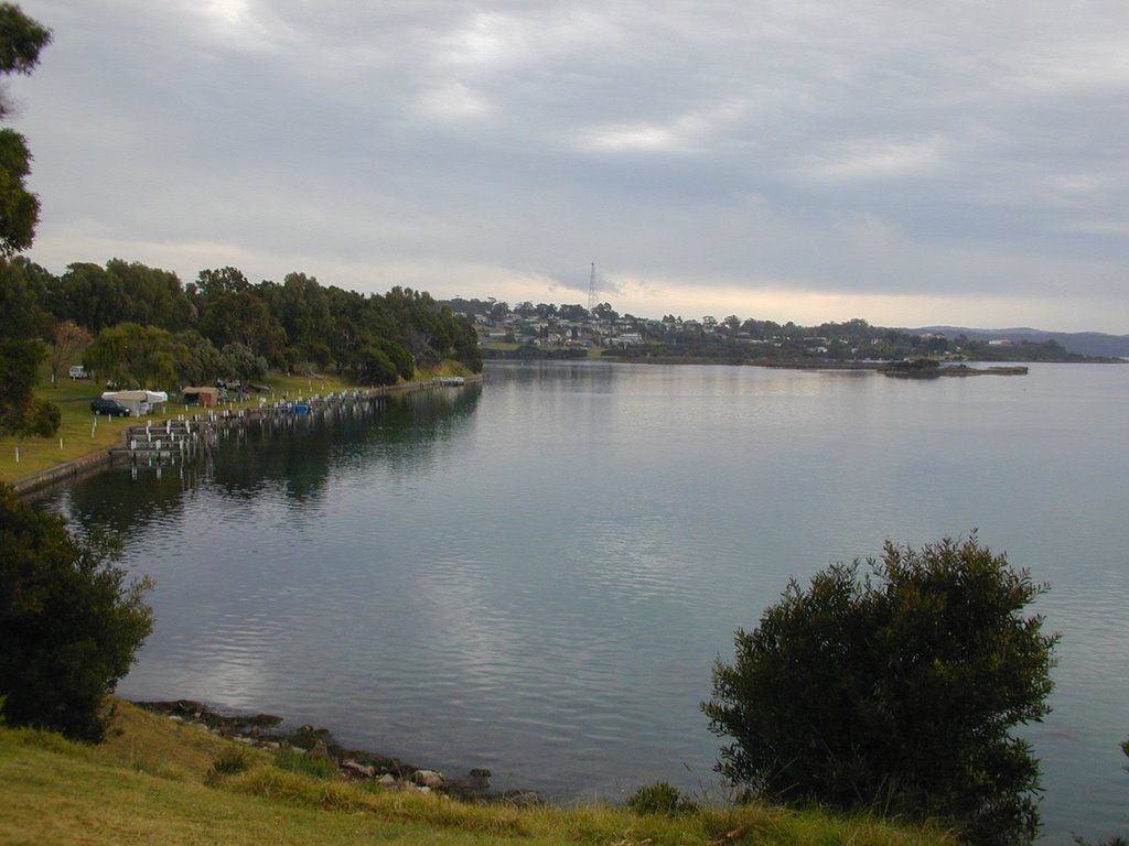
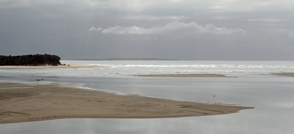
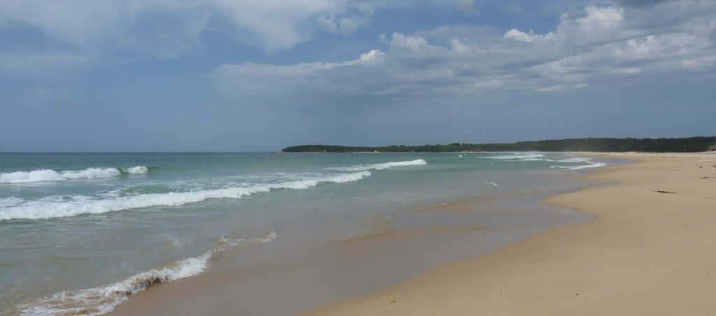
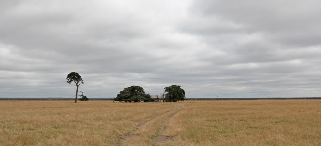
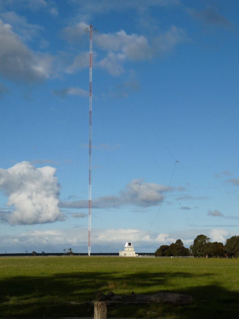
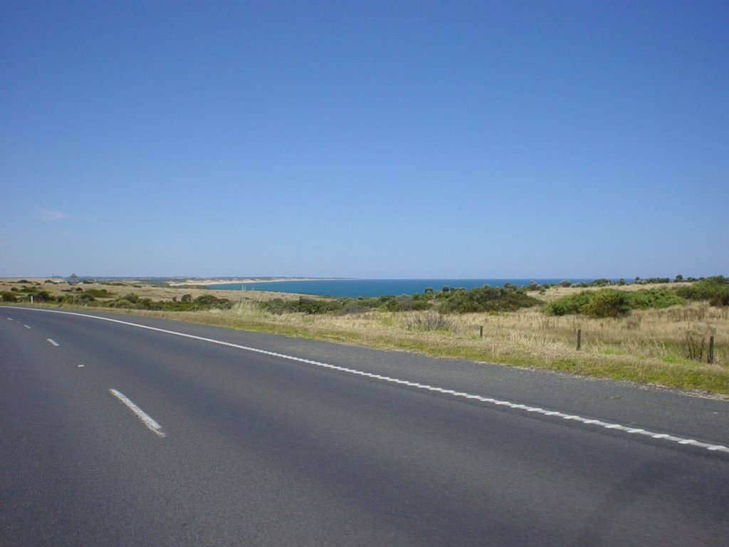
Photos of Mallacoota
Mallacoota Weather

Predicción: Scattered clouds
Temperatura: 16.8°
Humedad: 70%
Hora actual: 12:36 PM
Amanece: 06:31 AM
Anochece: 05:29 PM
Darriman, Australia
Latitude: -38.4452 // Longitude: 146.944
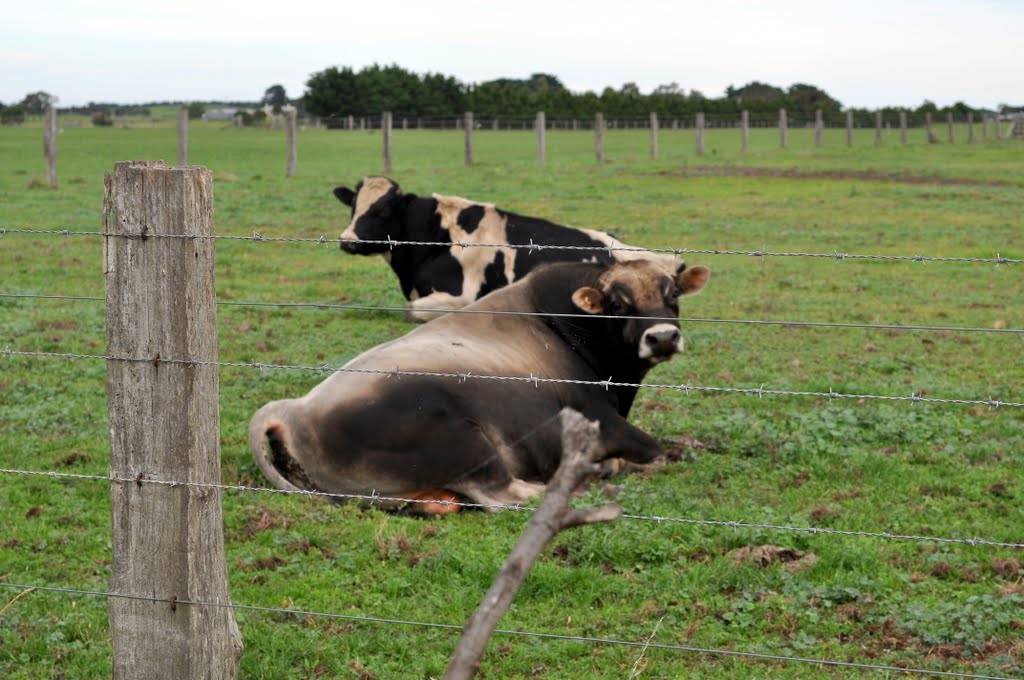
Photos of Darriman
Darriman Weather

Predicción: Broken clouds
Temperatura: 15.4°
Humedad: 77%
Hora actual: 10:00 AM
Amanece: 06:43 AM
Anochece: 05:39 PM


