Distance between  Maitland and
  Gulnare
76.76 mi Straight Distance
105.61 mi Driving Distance
1 hour 55 mins Estimated Driving Time
The straight distance between Maitland (South Australia) and Gulnare (South Australia) is 76.76 mi, but the driving distance is 105.61 mi.
It takes 15 hours 53 mins to go from Maitland to Gulnare.
Driving directions from Maitland to Gulnare
Distance in kilometers
Straight distance: 123.50 km. Route distance: 169.93 km
Maitland, Australia
Latitude: -34.3742 // Longitude: 137.673
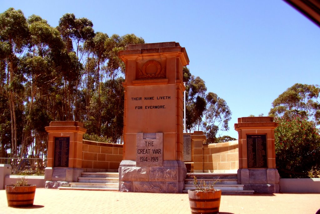
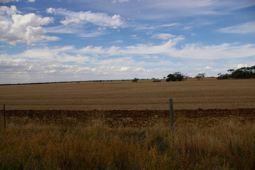
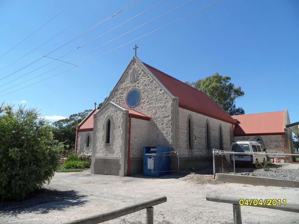
Photos of Maitland
Maitland Weather

Predicción: Broken clouds
Temperatura: 12.7°
Humedad: 74%
Hora actual: 07:04 PM
Amanece: 06:44 AM
Anochece: 05:52 PM
Gulnare, Australia
Latitude: -33.4654 // Longitude: 138.443
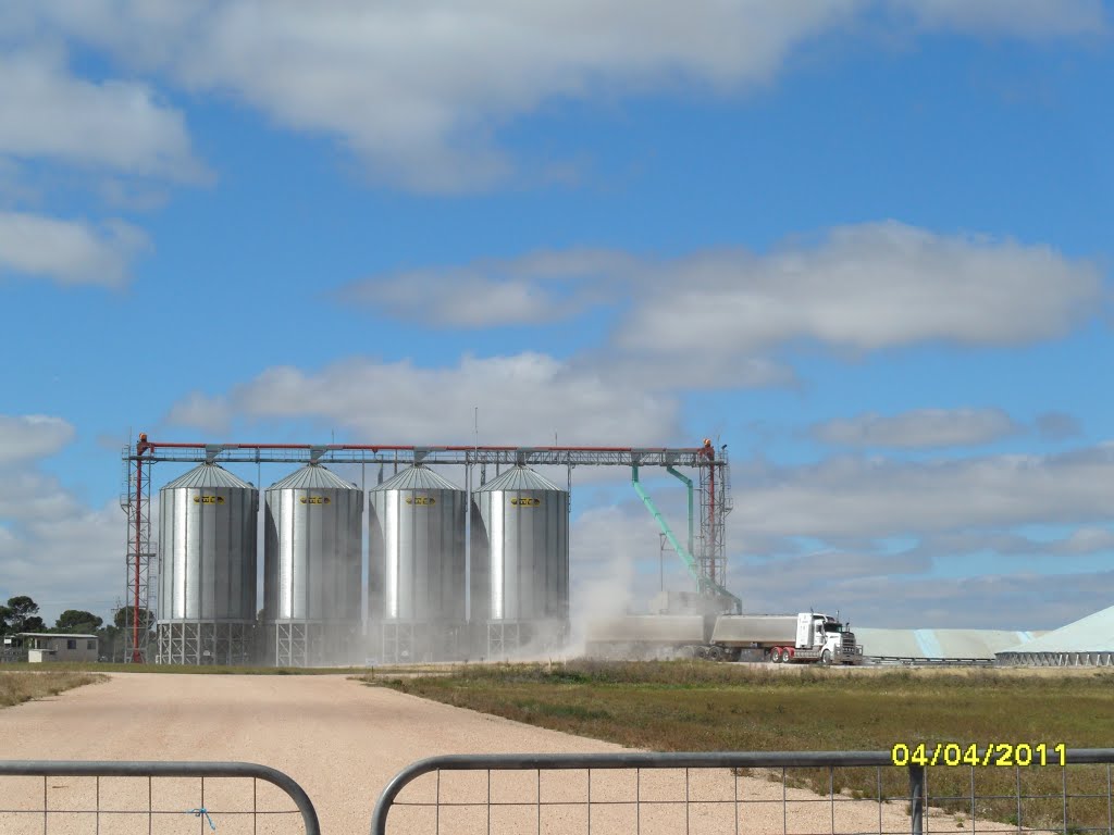
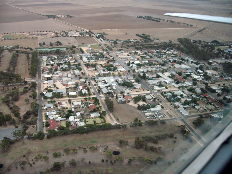
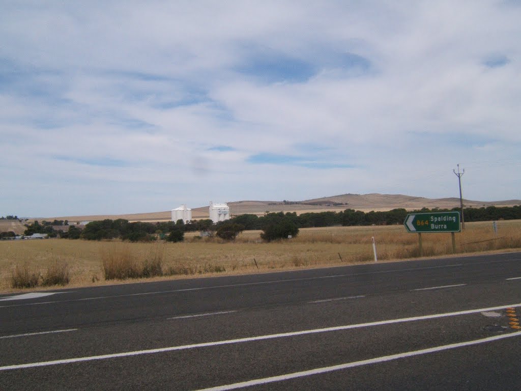
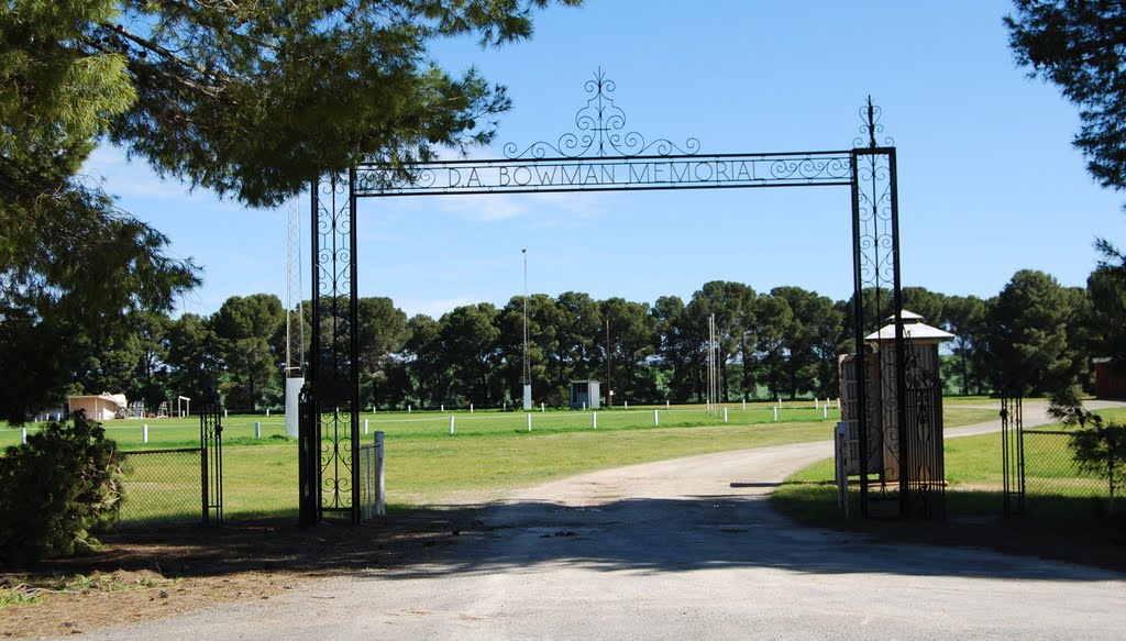
Photos of Gulnare
Gulnare Weather

Predicción: Broken clouds
Temperatura: 14.0°
Humedad: 65%
Hora actual: 09:30 AM
Amanece: 06:40 AM
Anochece: 05:50 PM


