Distance between  Magra and
  Nagambie
423.94 mi Straight Distance
534.80 mi Driving Distance
13 hours 26 mins Estimated Driving Time
The straight distance between Magra (Tasmania) and Nagambie (Victoria) is 423.94 mi, but the driving distance is 534.80 mi.
It takes to go from Magra to Nagambie.
Driving directions from Magra to Nagambie
Distance in kilometers
Straight distance: 682.12 km. Route distance: 860.49 km
Magra, Australia
Latitude: -42.7423 // Longitude: 147.065
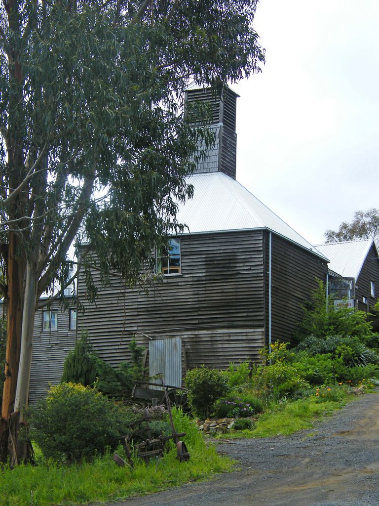
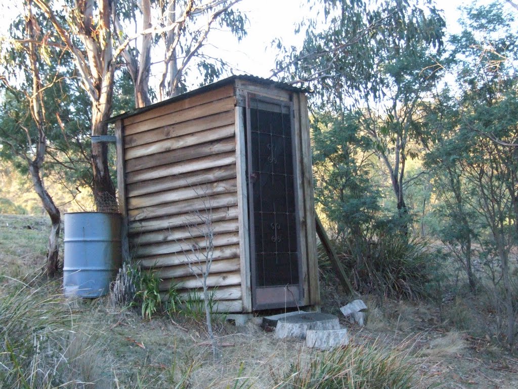
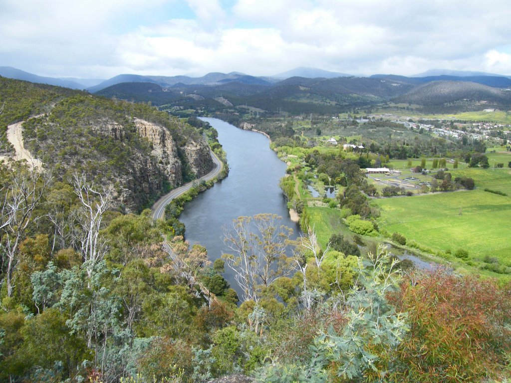
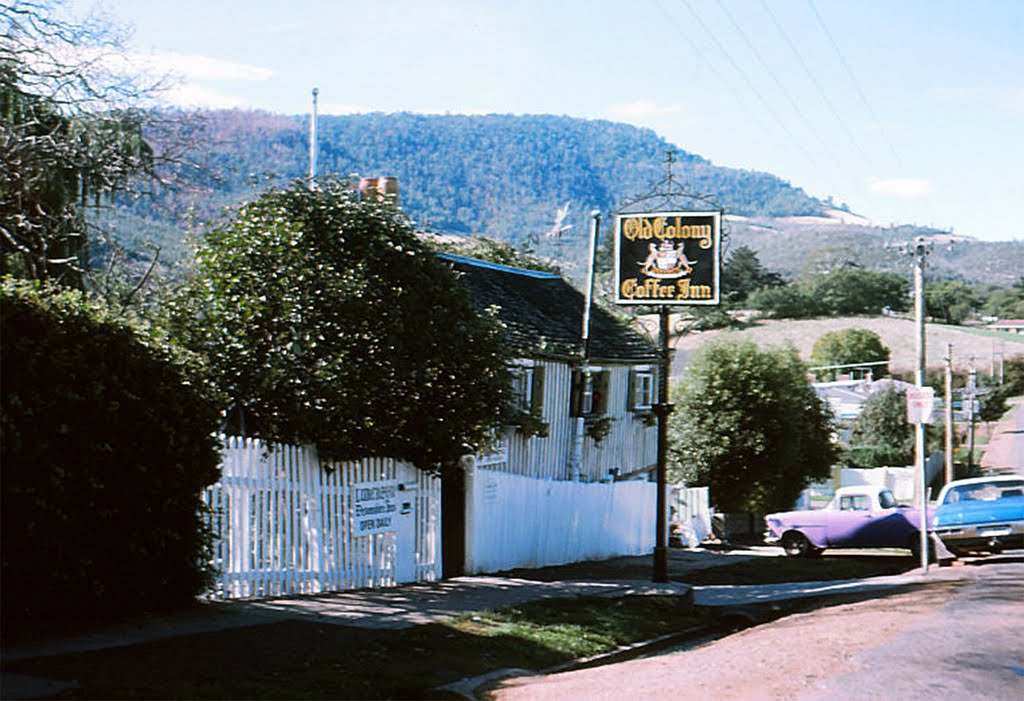
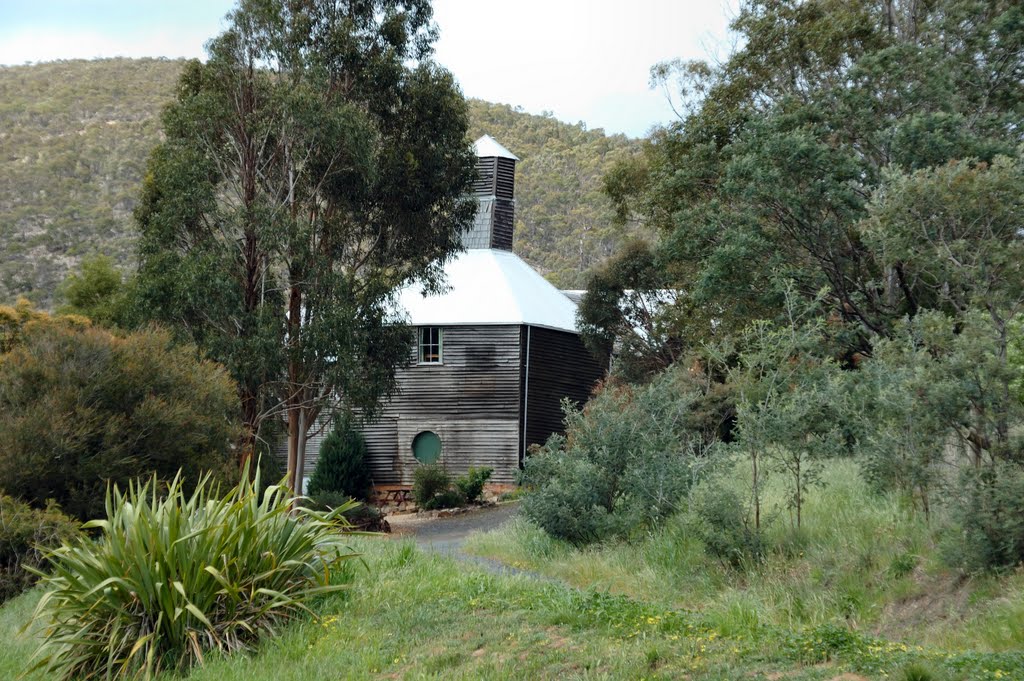
Photos of Magra
Magra Weather

Predicción: Broken clouds
Temperatura: 12.3°
Humedad: 77%
Hora actual: 09:09 AM
Amanece: 06:48 AM
Anochece: 05:32 PM
Nagambie, Australia
Latitude: -36.7843 // Longitude: 145.155
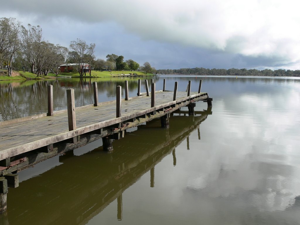
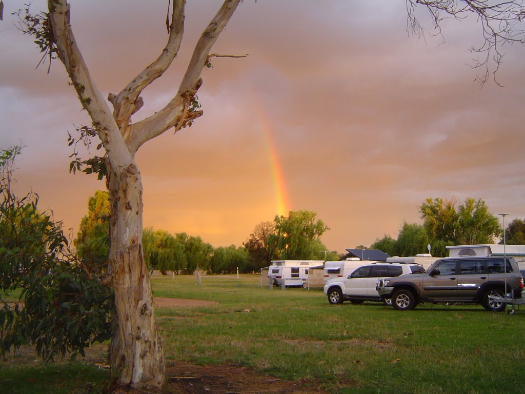
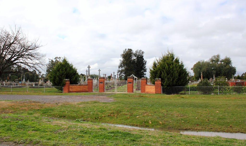
Photos of Nagambie
Nagambie Weather

Predicción: Clear sky
Temperatura: 13.3°
Humedad: 74%
Hora actual: 09:09 AM
Amanece: 06:48 AM
Anochece: 05:48 PM


