Distance between  Lucyvale and
  Seaton
126.14 mi Straight Distance
264.74 mi Driving Distance
4 hours 45 mins Estimated Driving Time
The straight distance between Lucyvale (Victoria) and Seaton (Victoria) is 126.14 mi, but the driving distance is 264.74 mi.
It takes to go from Lucyvale to Seaton.
Driving directions from Lucyvale to Seaton
Distance in kilometers
Straight distance: 202.96 km. Route distance: 425.96 km
Lucyvale, Australia
Latitude: -36.279 // Longitude: 147.624
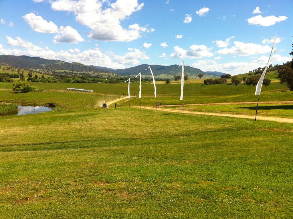
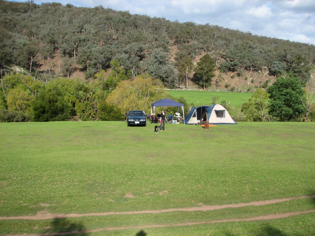
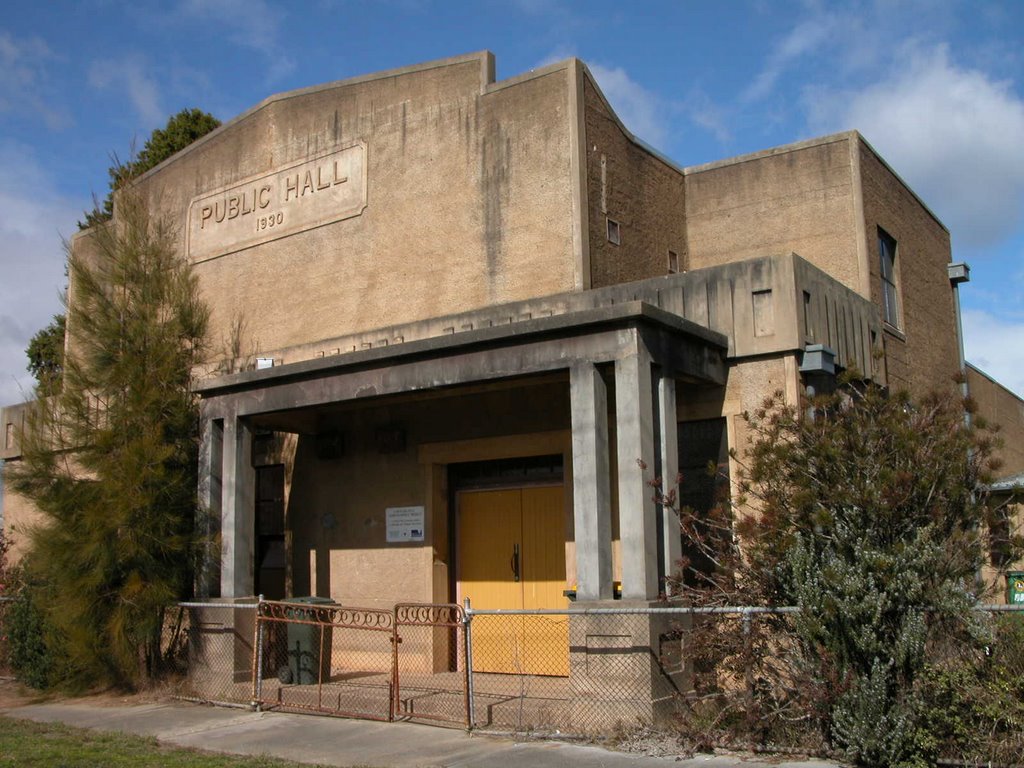
Photos of Lucyvale
Lucyvale Weather

Predicción: Broken clouds
Temperatura: 8.7°
Humedad: 84%
Hora actual: 12:00 AM
Amanece: 08:35 PM
Anochece: 07:42 AM
Seaton, Australia
Latitude: -37.9345 // Longitude: 146.659
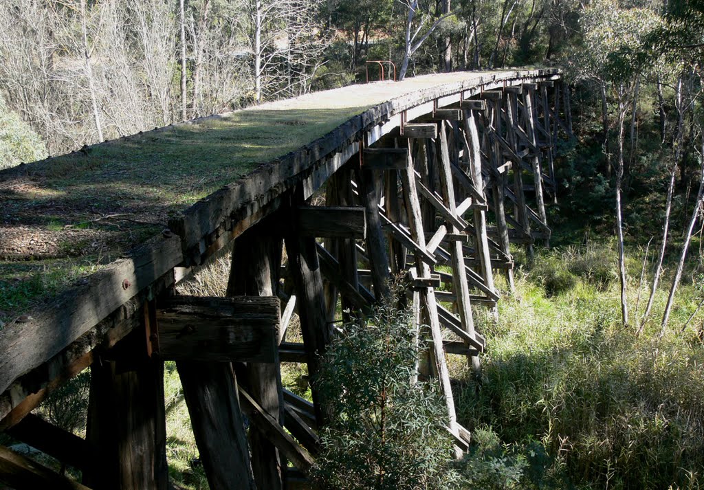
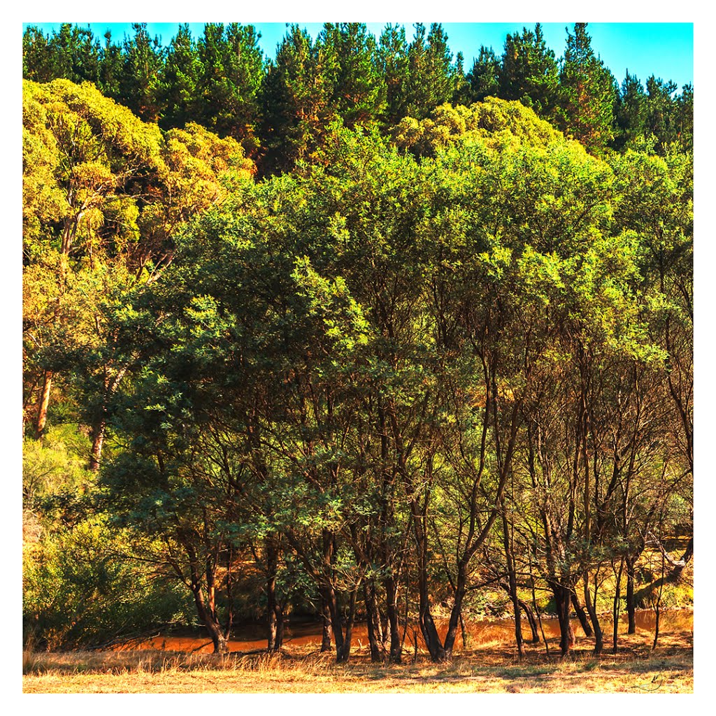
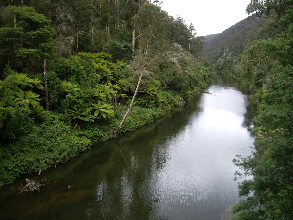
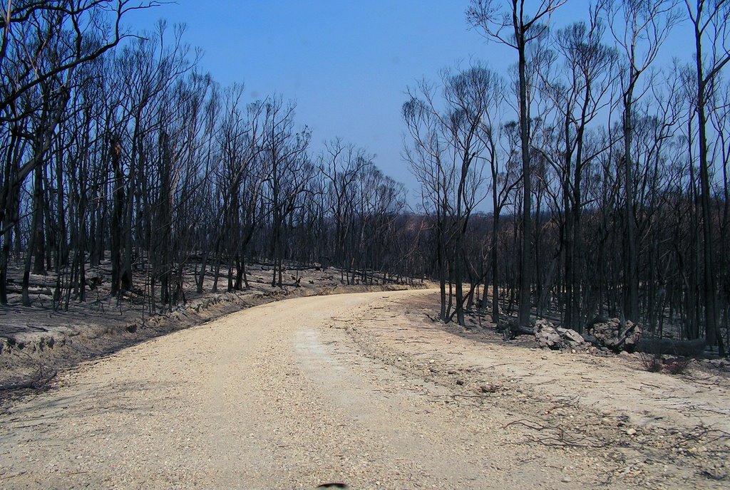
Photos of Seaton
Seaton Weather

Predicción: Overcast clouds
Temperatura: 11.1°
Humedad: 97%
Hora actual: 12:00 AM
Amanece: 08:41 PM
Anochece: 07:44 AM


