Distance between  Loy Yang and
  Kilmore East
109.34 mi Straight Distance
152.87 mi Driving Distance
2 hours 39 mins Estimated Driving Time
The straight distance between Loy Yang (Victoria) and Kilmore East (Victoria) is 109.34 mi, but the driving distance is 152.87 mi.
It takes 2 hours 46 mins to go from Loy Yang to Kilmore East.
Driving directions from Loy Yang to Kilmore East
Distance in kilometers
Straight distance: 175.93 km. Route distance: 245.96 km
Loy Yang, Australia
Latitude: -38.2527 // Longitude: 146.593
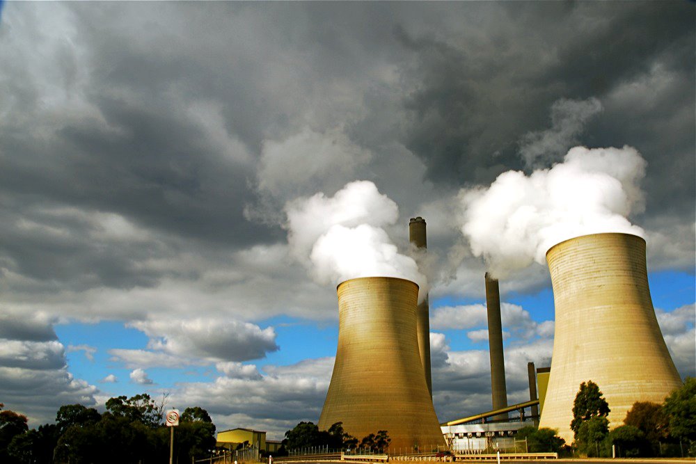
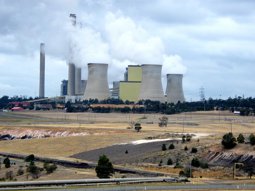
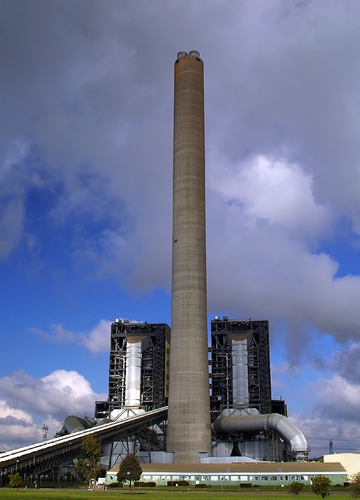
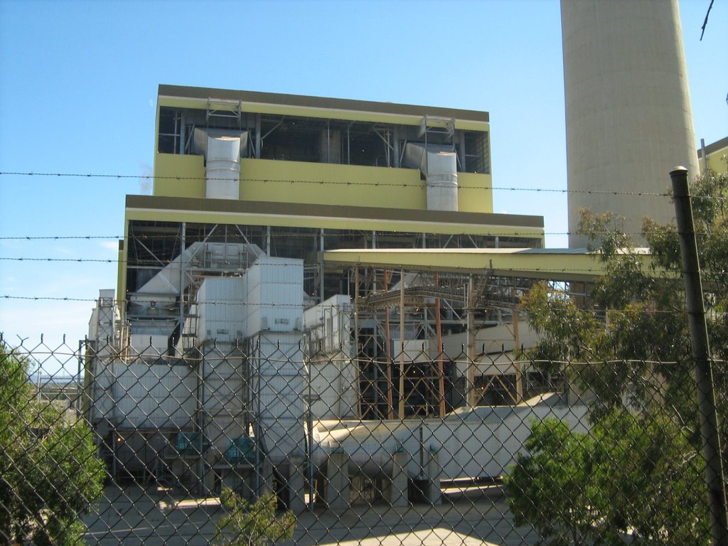
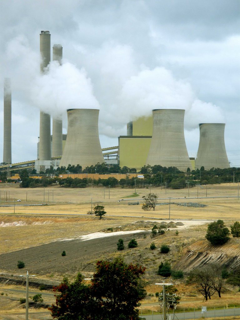
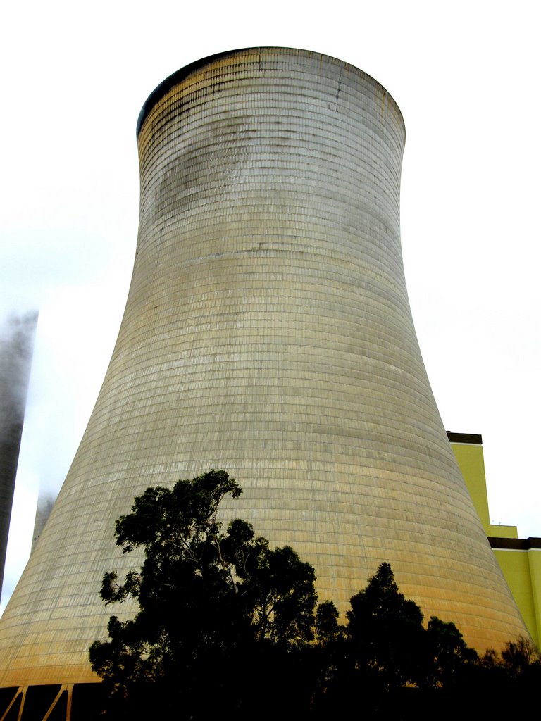
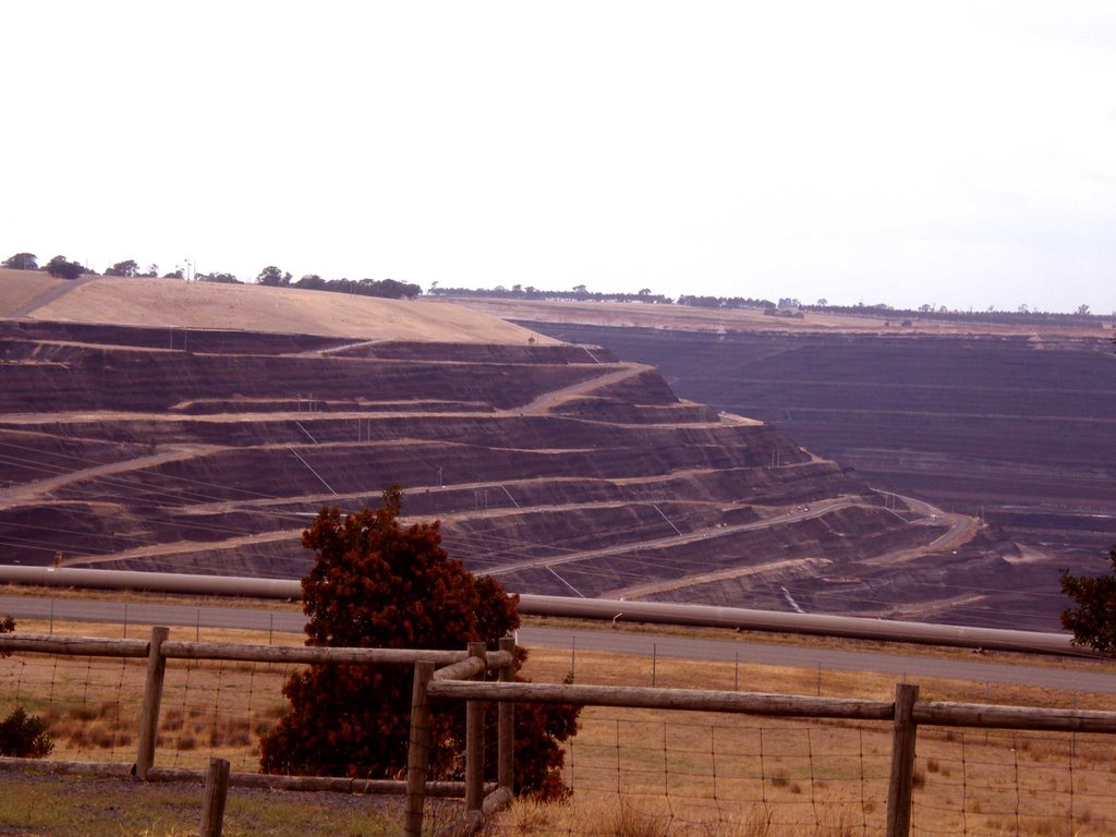
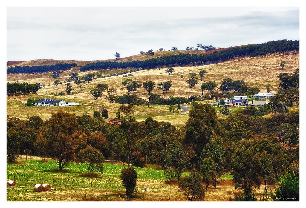
Photos of Loy Yang
Loy Yang Weather

Predicción: Overcast clouds
Temperatura: 15.1°
Humedad: 85%
Hora actual: 03:57 PM
Amanece: 06:41 AM
Anochece: 05:44 PM
Kilmore East, Australia
Latitude: -37.2779 // Longitude: 145.016
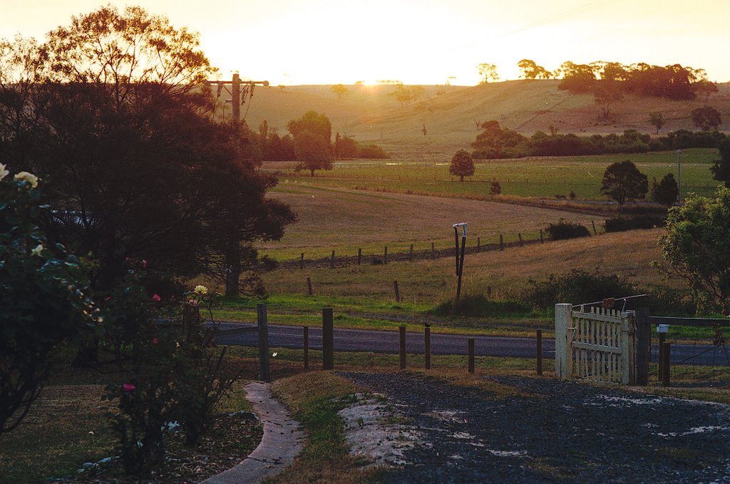
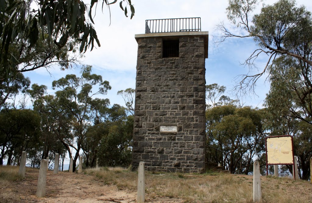
Photos of Kilmore East
Kilmore East Weather

Predicción: Broken clouds
Temperatura: 17.5°
Humedad: 64%
Hora actual: 03:57 PM
Amanece: 06:47 AM
Anochece: 05:52 PM


