Distance between  Lower Turners Marsh and
  Antill Ponds
70.48 mi Straight Distance
85.29 mi Driving Distance
1 hour 27 mins Estimated Driving Time
The straight distance between Lower Turners Marsh (Tasmania) and Antill Ponds (Tasmania) is 70.48 mi, but the driving distance is 85.29 mi.
It takes to go from Lower Turners Marsh to Antill Ponds.
Driving directions from Lower Turners Marsh to Antill Ponds
Distance in kilometers
Straight distance: 113.40 km. Route distance: 137.22 km
Lower Turners Marsh, Australia
Latitude: -41.208 // Longitude: 147.103
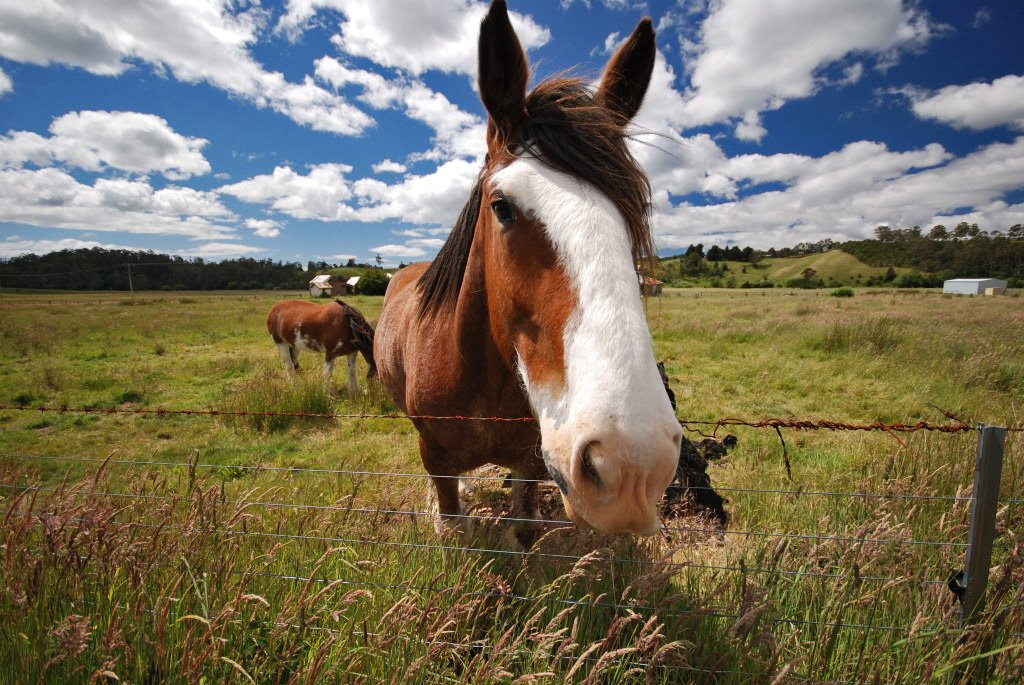
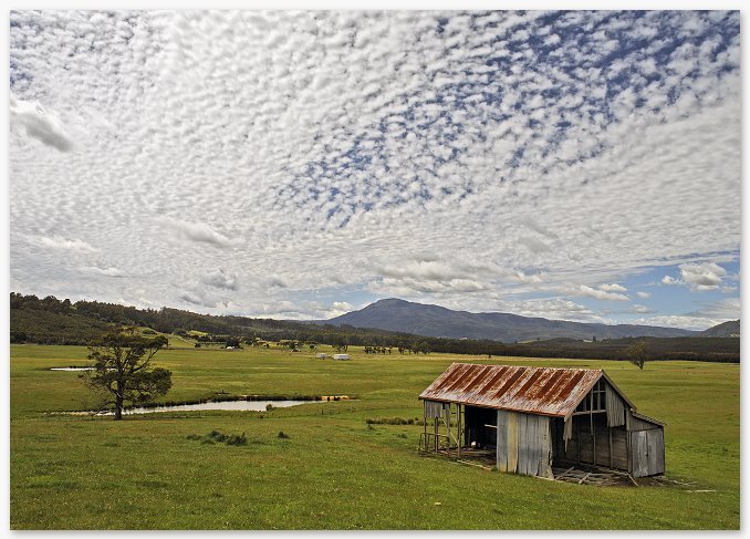
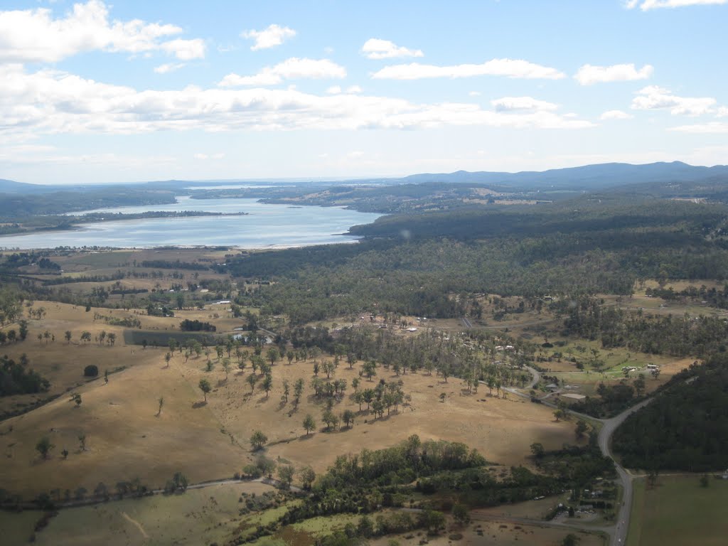
Photos of Lower Turners Marsh
Lower Turners Marsh Weather

Predicción: Few clouds
Temperatura: 11.6°
Humedad: 52%
Hora actual: 12:00 AM
Amanece: 08:45 PM
Anochece: 07:35 AM
Antill Ponds, Australia
Latitude: -42.2035 // Longitude: 147.401
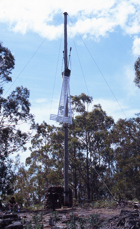
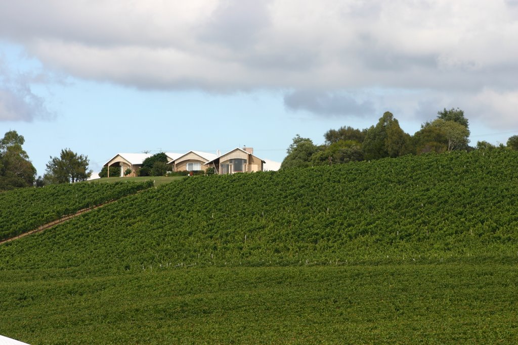
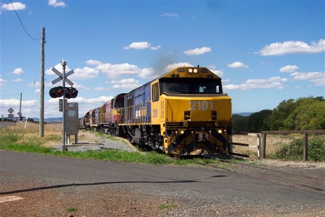
Photos of Antill Ponds
Antill Ponds Weather

Predicción: Overcast clouds
Temperatura: 11.0°
Humedad: 62%
Hora actual: 12:00 AM
Amanece: 08:45 PM
Anochece: 07:33 AM


