Distance between  Lower Moira and
  Bathumi
60.42 mi Straight Distance
76.46 mi Driving Distance
1 hour 34 mins Estimated Driving Time
The straight distance between Lower Moira (Victoria) and Bathumi (Victoria) is 60.42 mi, but the driving distance is 76.46 mi.
It takes to go from Lower Moira to Bathumi.
Driving directions from Lower Moira to Bathumi
Distance in kilometers
Straight distance: 97.21 km. Route distance: 123.02 km
Lower Moira, Australia
Latitude: -36.0707 // Longitude: 145.004
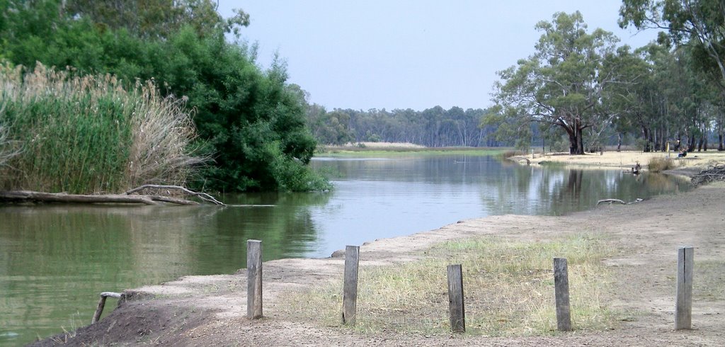
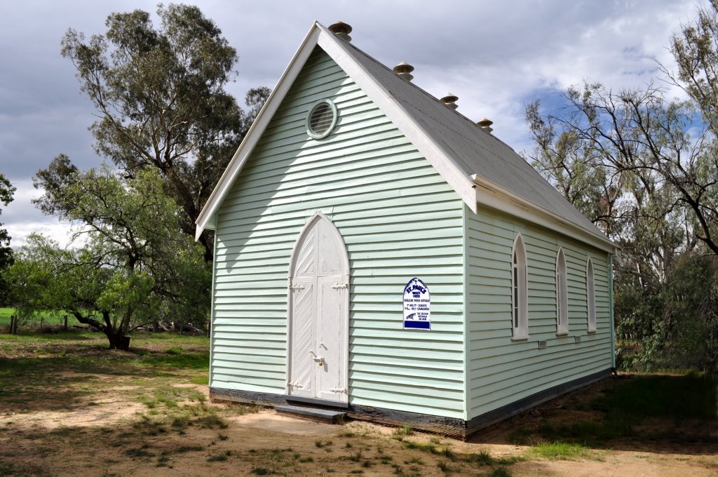
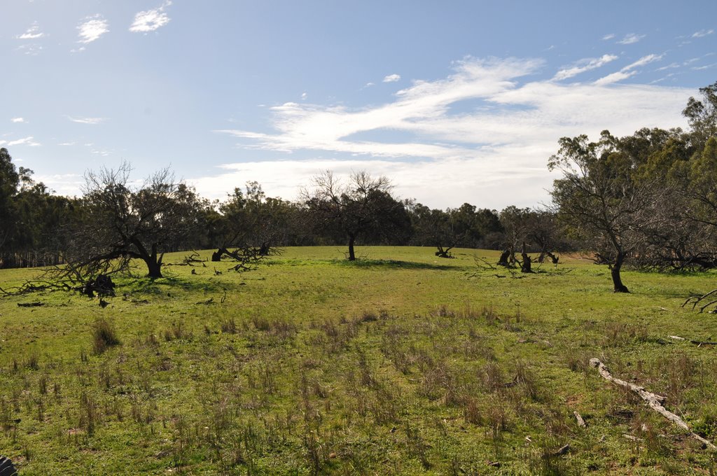
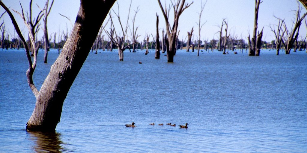
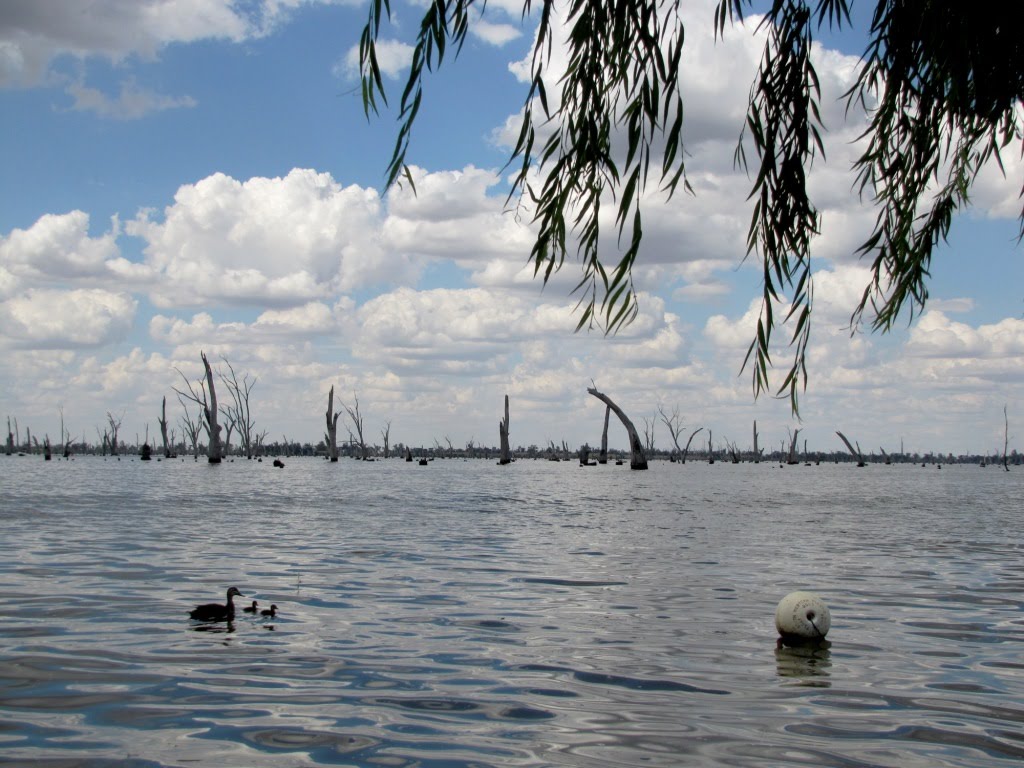
Photos of Lower Moira
Lower Moira Weather

Predicción: Few clouds
Temperatura: 15.5°
Humedad: 58%
Hora actual: 12:00 AM
Amanece: 08:48 PM
Anochece: 07:49 AM
Bathumi, Australia
Latitude: -36.0403 // Longitude: 146.085
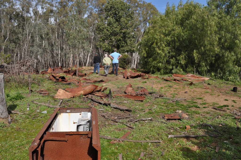
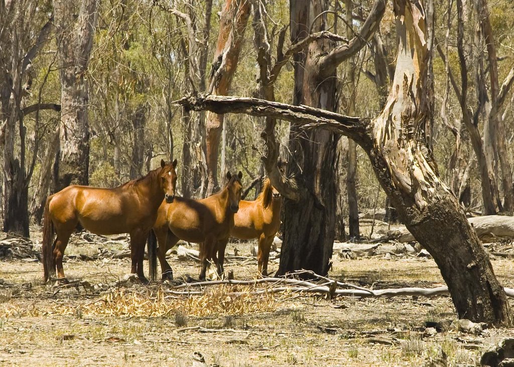
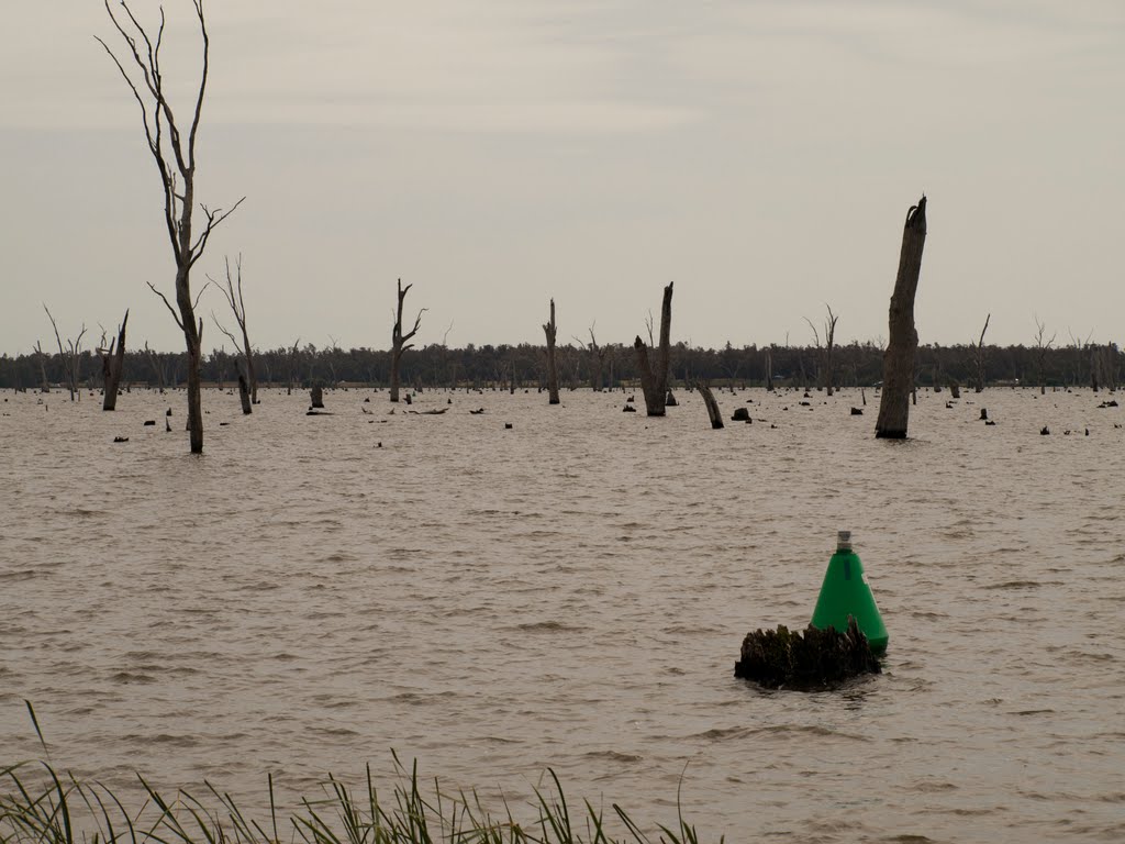
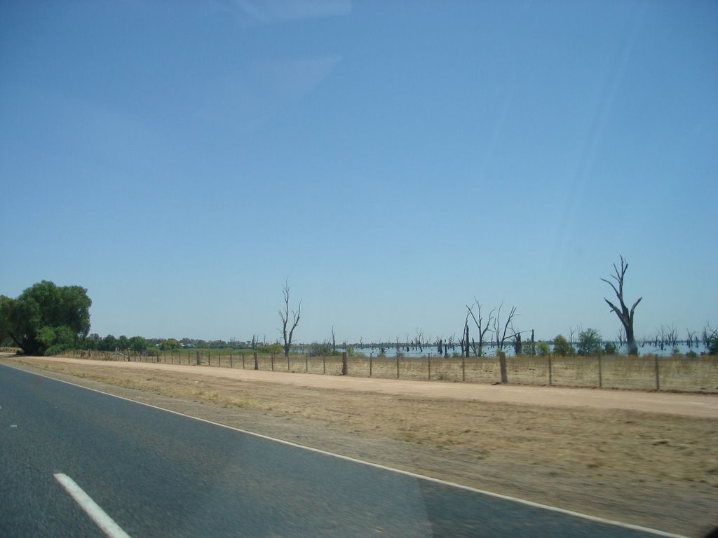
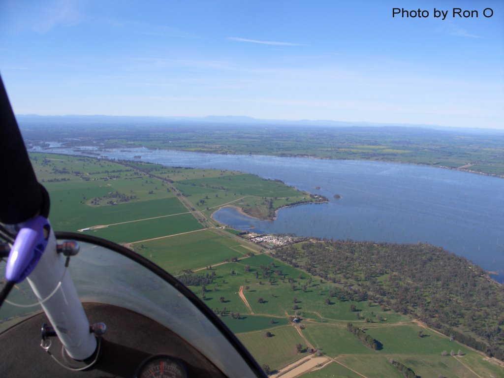
Photos of Bathumi
Bathumi Weather

Predicción: Scattered clouds
Temperatura: 15.8°
Humedad: 60%
Hora actual: 10:13 AM
Amanece: 06:43 AM
Anochece: 05:45 PM


