Distance between  Lower King and
  Jennacubbine
252.93 mi Straight Distance
294.61 mi Driving Distance
4 hours 50 mins Estimated Driving Time
The straight distance between Lower King (Western Australia) and Jennacubbine (Western Australia) is 252.93 mi, but the driving distance is 294.61 mi.
It takes 5 hours 45 mins to go from Lower King to Jennacubbine.
Driving directions from Lower King to Jennacubbine
Distance in kilometers
Straight distance: 406.97 km. Route distance: 474.02 km
Lower King, Australia
Latitude: -34.9563 // Longitude: 117.933
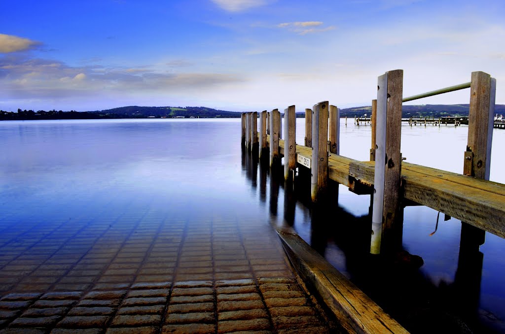
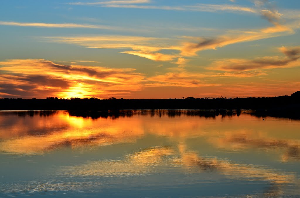
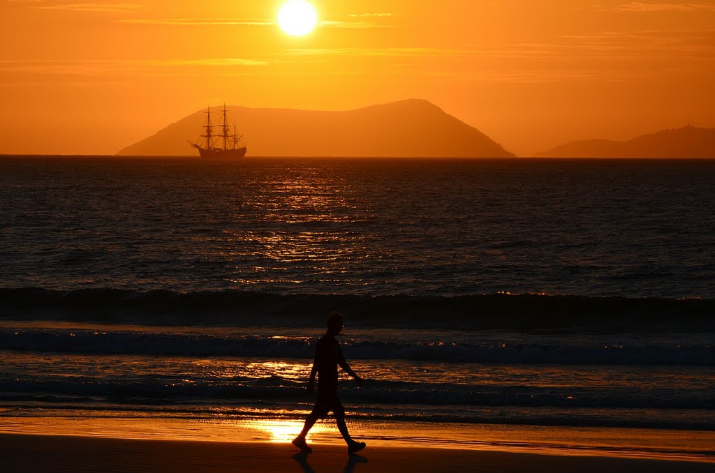
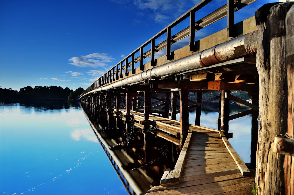
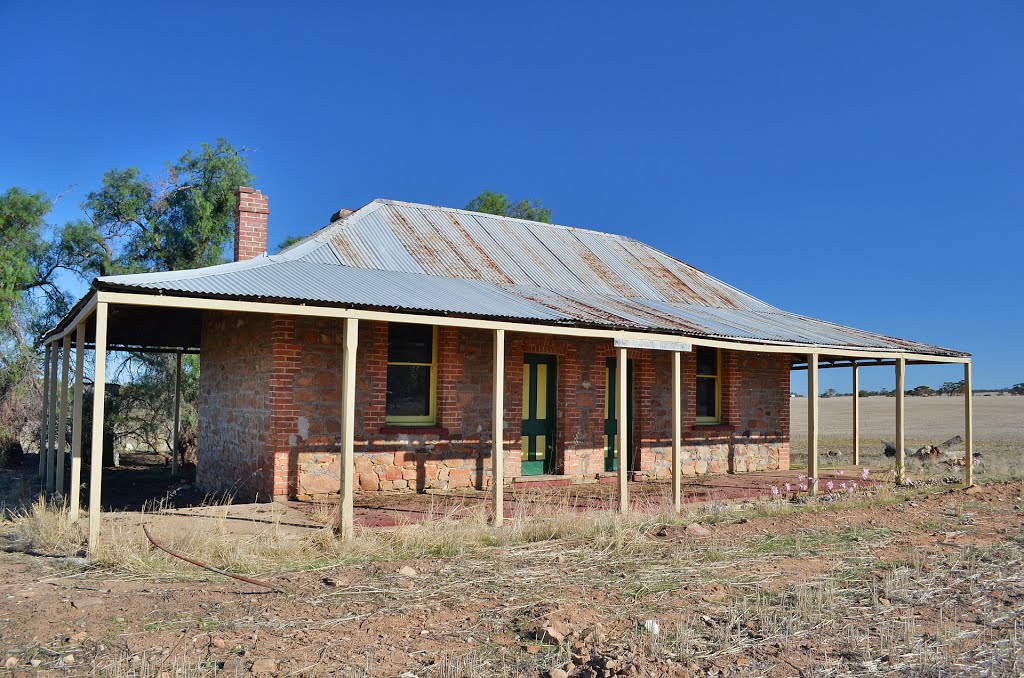
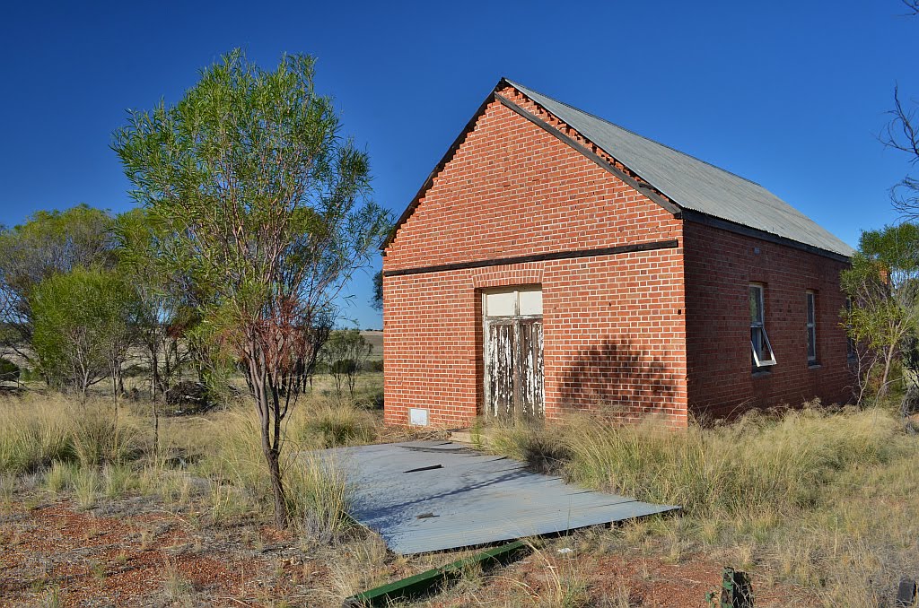
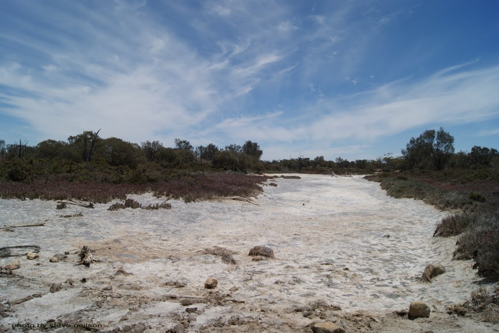
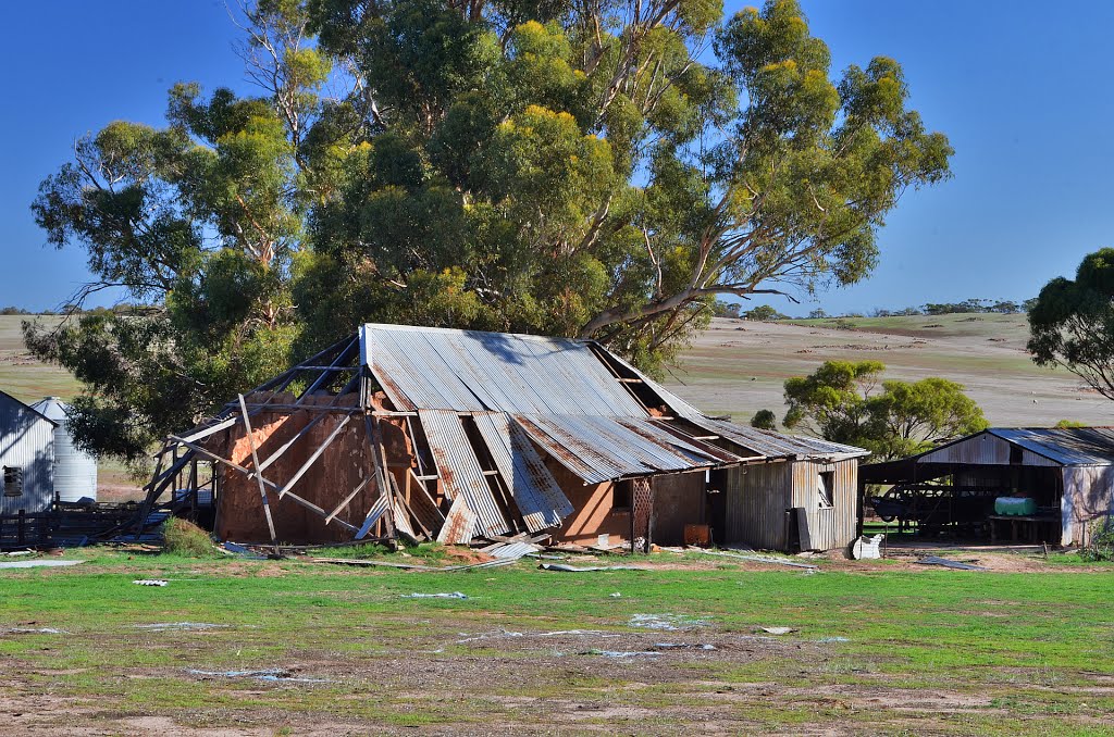
Photos of Lower King
Lower King Weather

Predicción: Scattered clouds
Temperatura: 14.9°
Humedad: 93%
Hora actual: 11:54 PM
Amanece: 06:33 AM
Anochece: 05:42 PM
Jennacubbine, Australia
Latitude: -31.4397 // Longitude: 116.717
Photos of Jennacubbine
Jennacubbine Weather

Predicción: Clear sky
Temperatura: 19.1°
Humedad: 45%
Hora actual: 08:00 AM
Amanece: 06:34 AM
Anochece: 05:51 PM


