Distance between  Longreach and
  Kalannie
1,734.03 mi Straight Distance
2,620.01 mi Driving Distance
1 day 17 hours Estimated Driving Time
The straight distance between Longreach (Queensland) and Kalannie (Western Australia) is 1,734.03 mi, but the driving distance is 2,620.01 mi.
It takes to go from Longreach to Kalannie.
Driving directions from Longreach to Kalannie
Distance in kilometers
Straight distance: 2,790.06 km. Route distance: 4,215.59 km
Longreach, Australia
Latitude: -23.4407 // Longitude: 144.251
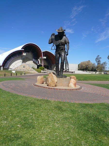
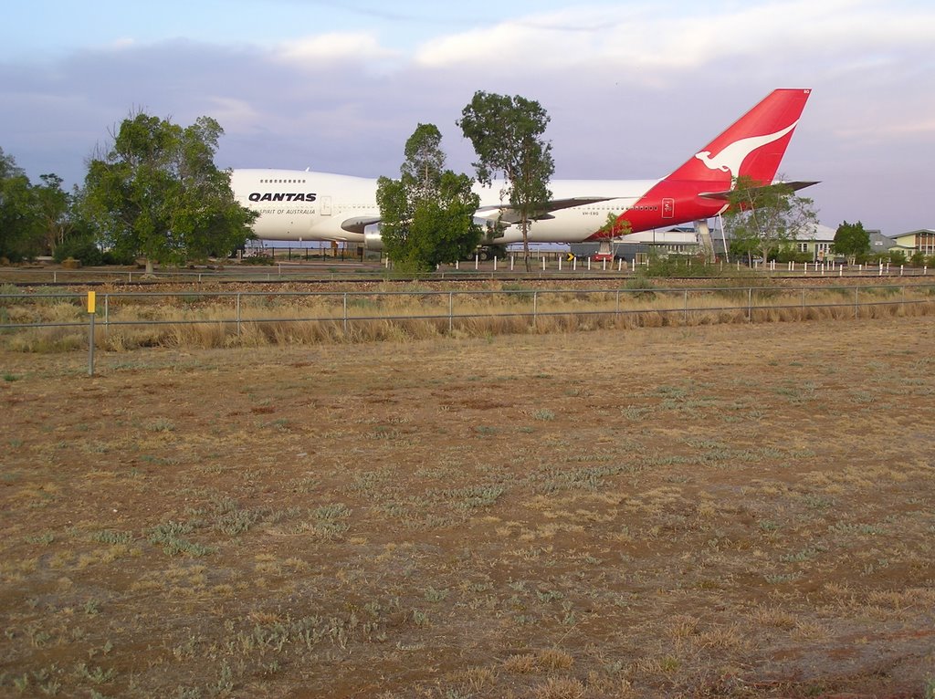
Photos of Longreach
Longreach Weather

Predicción: Clear sky
Temperatura: 25.0°
Humedad: 53%
Hora actual: 08:09 AM
Amanece: 06:37 AM
Anochece: 06:07 PM
Kalannie, Australia
Latitude: -30.3632 // Longitude: 117.118
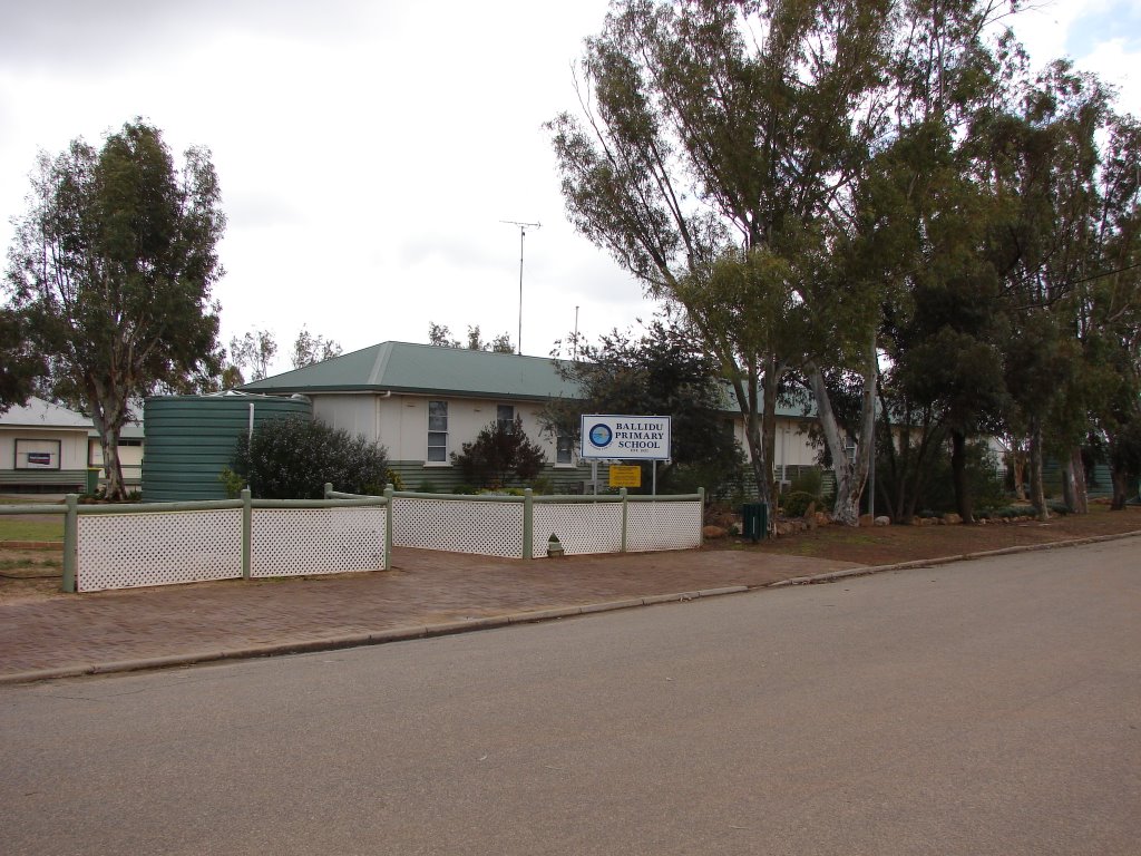
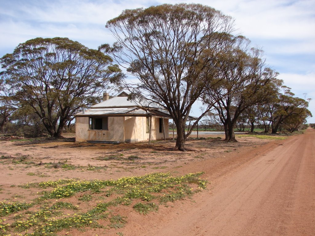
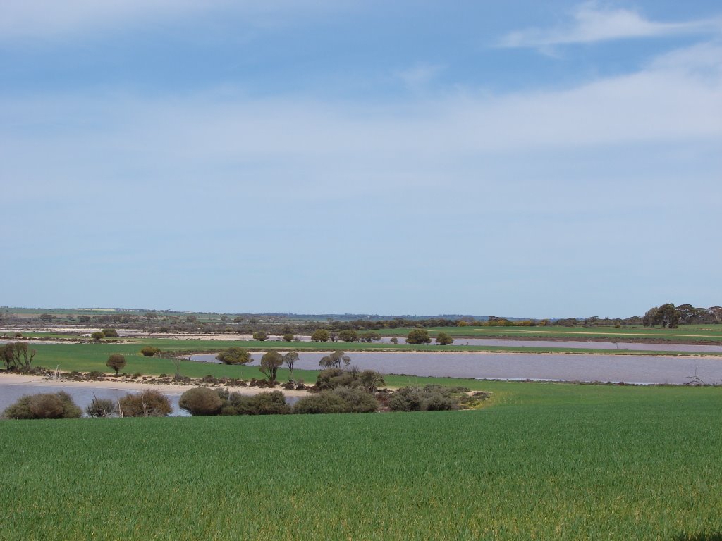
Photos of Kalannie
Kalannie Weather

Predicción: Clear sky
Temperatura: 18.8°
Humedad: 51%
Hora actual: 10:00 AM
Amanece: 08:32 AM
Anochece: 07:49 PM


