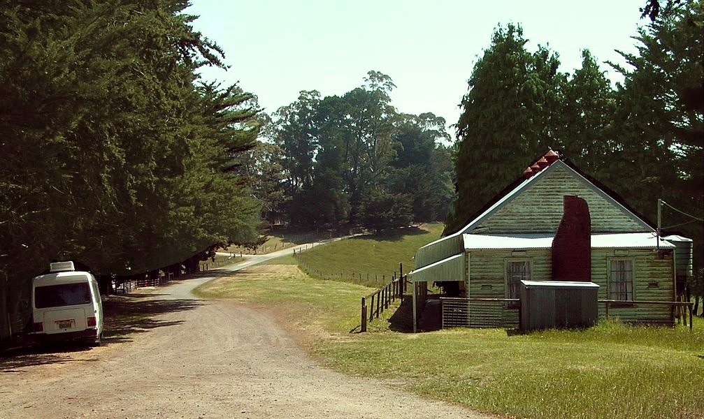
Distance between  Longford and
  Tetoora Road
65.21 mi Straight Distance
76.53 mi Driving Distance
1 hour 23 mins Estimated Driving Time
The straight distance between Longford (Victoria) and Tetoora Road (Victoria) is 65.21 mi, but the driving distance is 76.53 mi.
It takes to go from Longford to Tetoora Road.
Driving directions from Longford to Tetoora Road
Distance in kilometers
Straight distance: 104.92 km. Route distance: 123.14 km
Longford, Australia
Latitude: -38.1616 // Longitude: 147.086
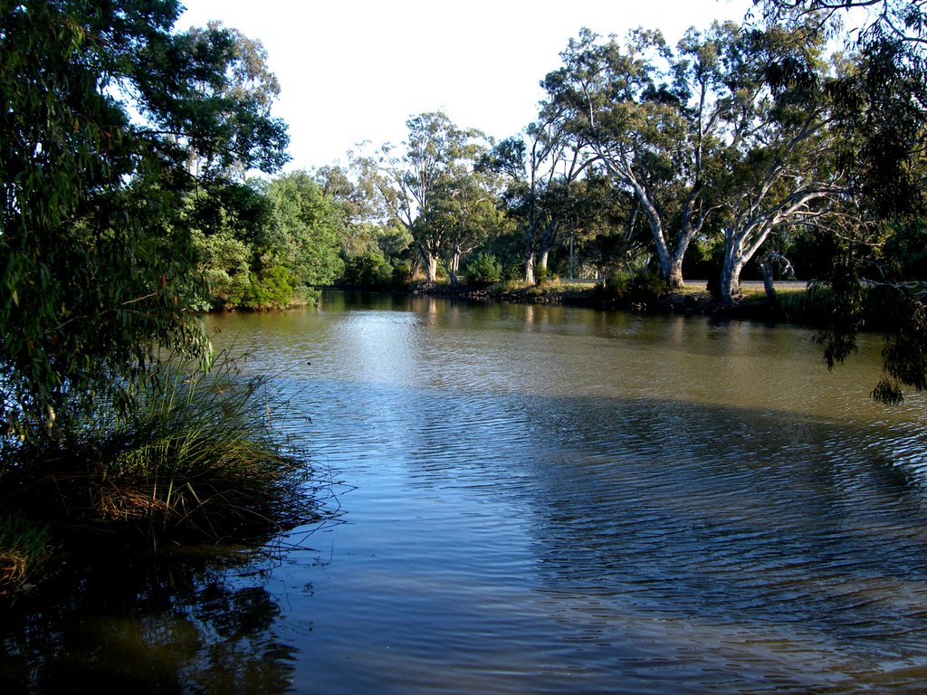
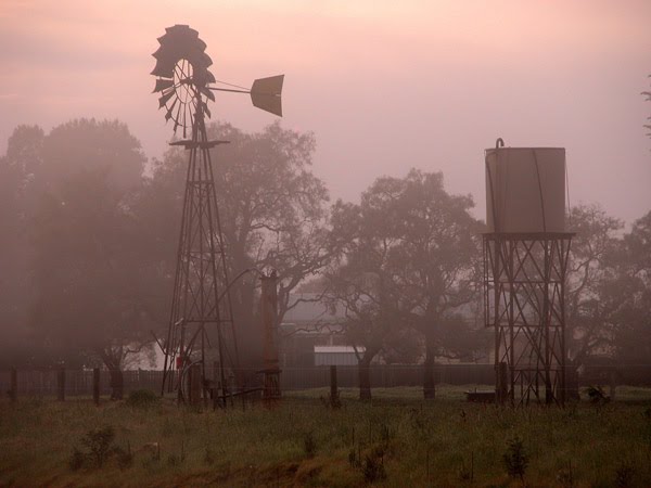
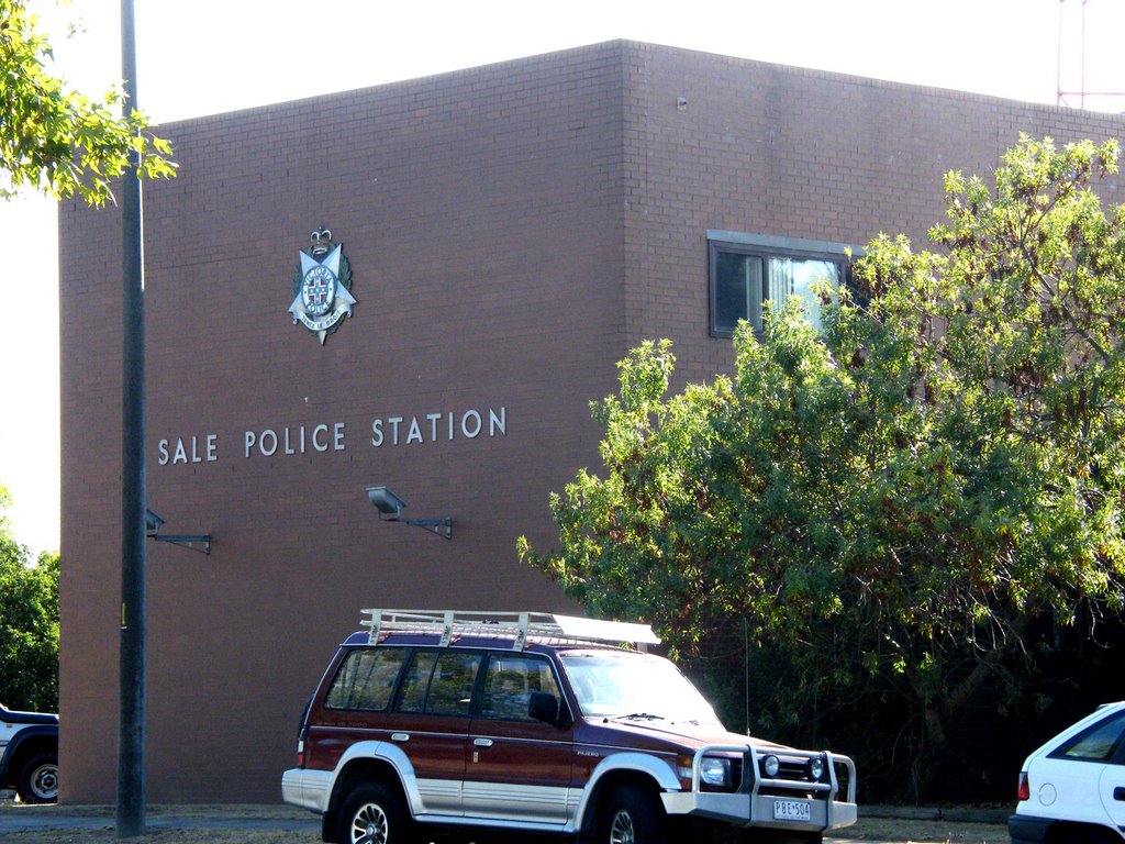
Photos of Longford
Longford Weather

Predicción: Overcast clouds
Temperatura: 10.9°
Humedad: 94%
Hora actual: 06:38 AM
Amanece: 06:42 AM
Anochece: 05:38 PM
Tetoora Road, Australia
Latitude: -38.2719 // Longitude: 145.893
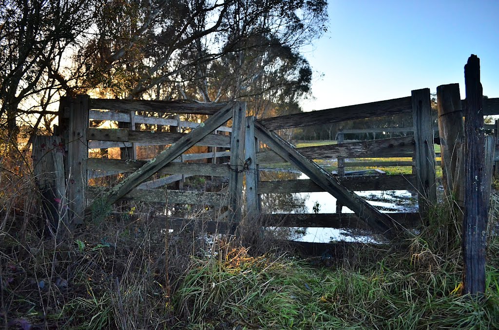
Photos of Tetoora Road
Tetoora Road Weather

Predicción: Scattered clouds
Temperatura: 10.3°
Humedad: 100%
Hora actual: 10:00 AM
Amanece: 06:47 AM
Anochece: 05:43 PM


