Distance between  Longerenong and
  Moyston
48.80 mi Straight Distance
66.18 mi Driving Distance
1 hour 12 mins Estimated Driving Time
The straight distance between Longerenong (Victoria) and Moyston (Victoria) is 48.80 mi, but the driving distance is 66.18 mi.
It takes to go from Longerenong to Moyston.
Driving directions from Longerenong to Moyston
Distance in kilometers
Straight distance: 78.51 km. Route distance: 106.48 km
Longerenong, Australia
Latitude: -36.6866 // Longitude: 142.33
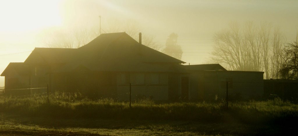
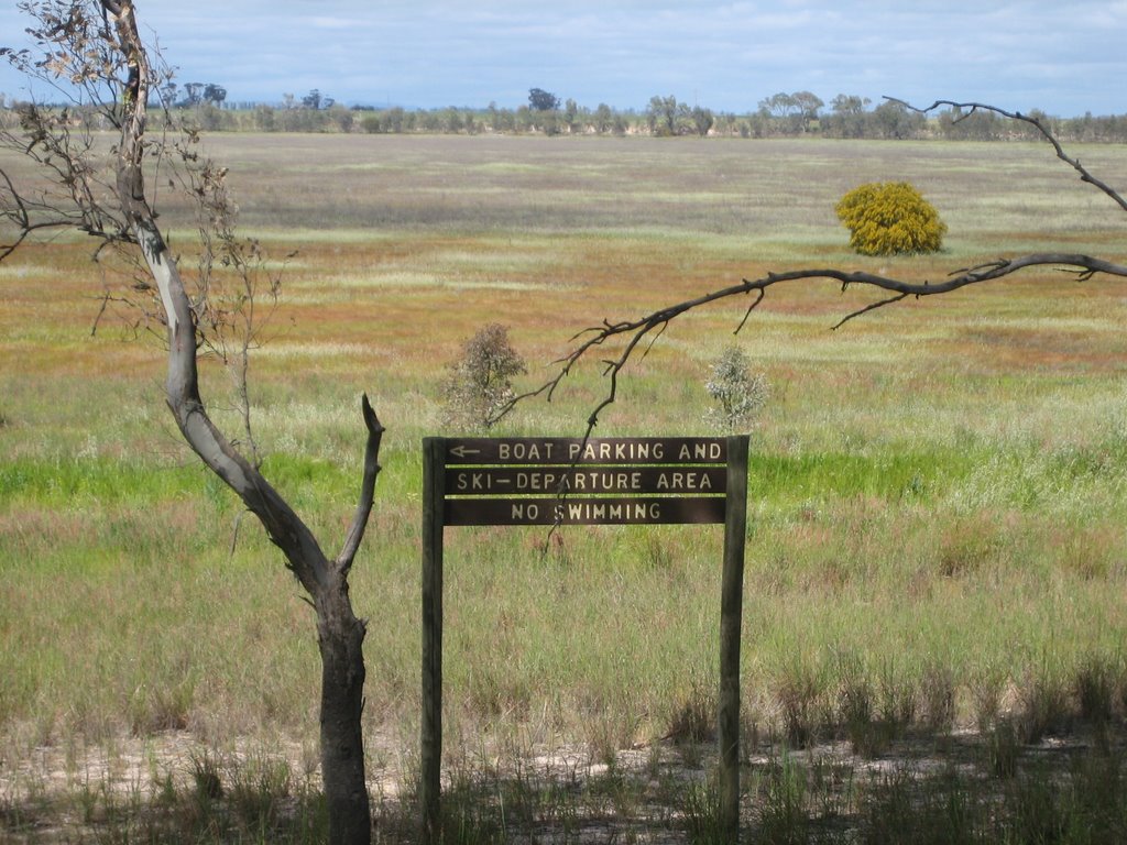
Photos of Longerenong
Longerenong Weather

Predicción: Overcast clouds
Temperatura: 15.4°
Humedad: 69%
Hora actual: 12:00 AM
Amanece: 08:57 PM
Anochece: 08:03 AM
Moyston, Australia
Latitude: -37.301 // Longitude: 142.766
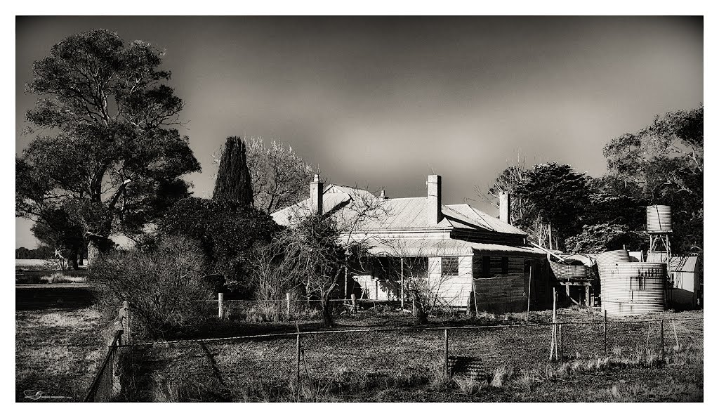
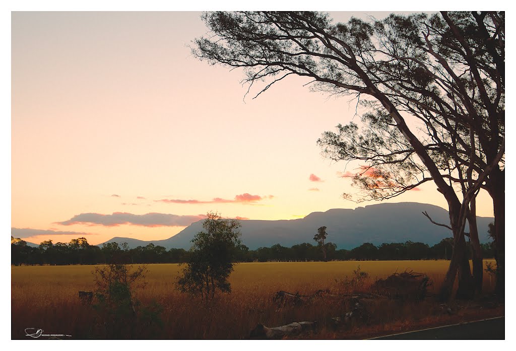
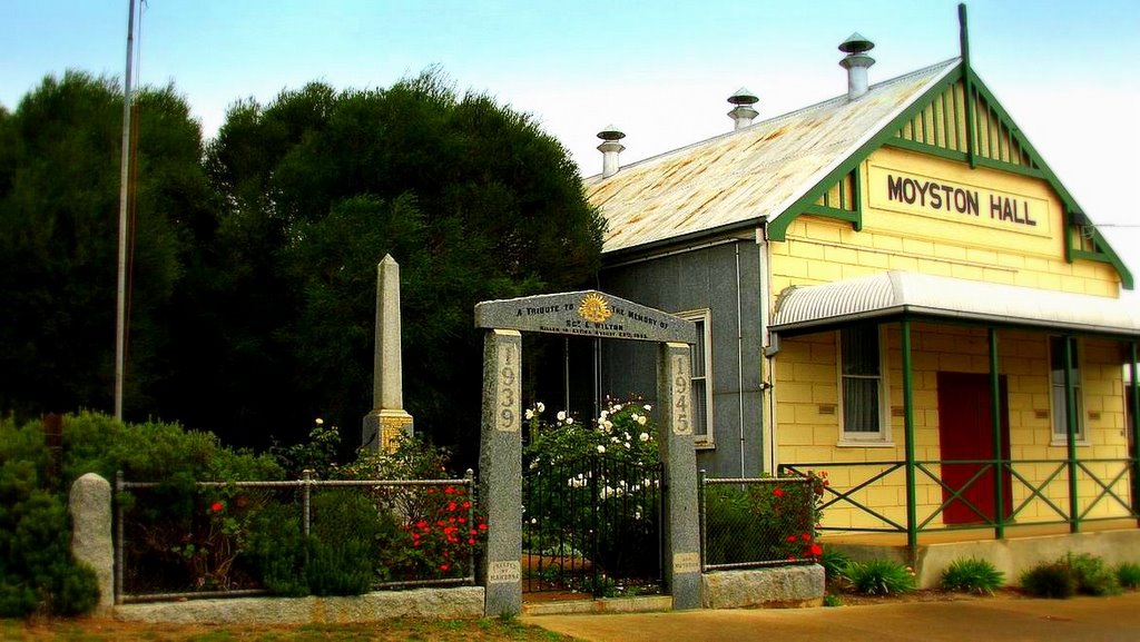
Photos of Moyston
Moyston Weather

Predicción: Overcast clouds
Temperatura: 11.3°
Humedad: 86%
Hora actual: 12:00 AM
Amanece: 08:56 PM
Anochece: 08:00 AM


