Distance between  Londrigan and
  Tambo Crossing
112.22 mi Straight Distance
152.44 mi Driving Distance
2 hours 54 mins Estimated Driving Time
The straight distance between Londrigan (Victoria) and Tambo Crossing (Victoria) is 112.22 mi, but the driving distance is 152.44 mi.
It takes to go from Londrigan to Tambo Crossing.
Driving directions from Londrigan to Tambo Crossing
Distance in kilometers
Straight distance: 180.56 km. Route distance: 245.27 km
Londrigan, Australia
Latitude: -36.3371 // Longitude: 146.418
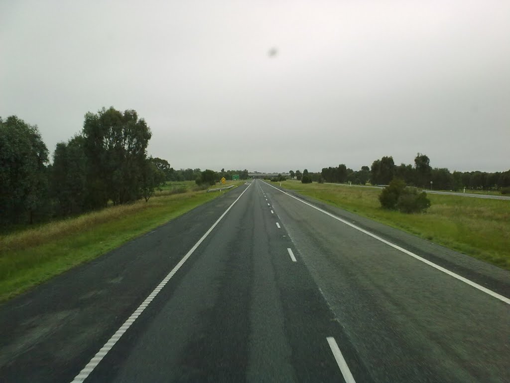
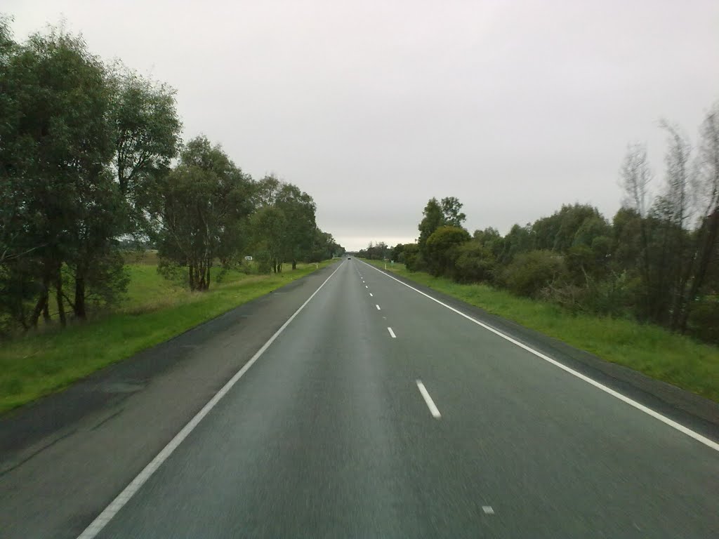
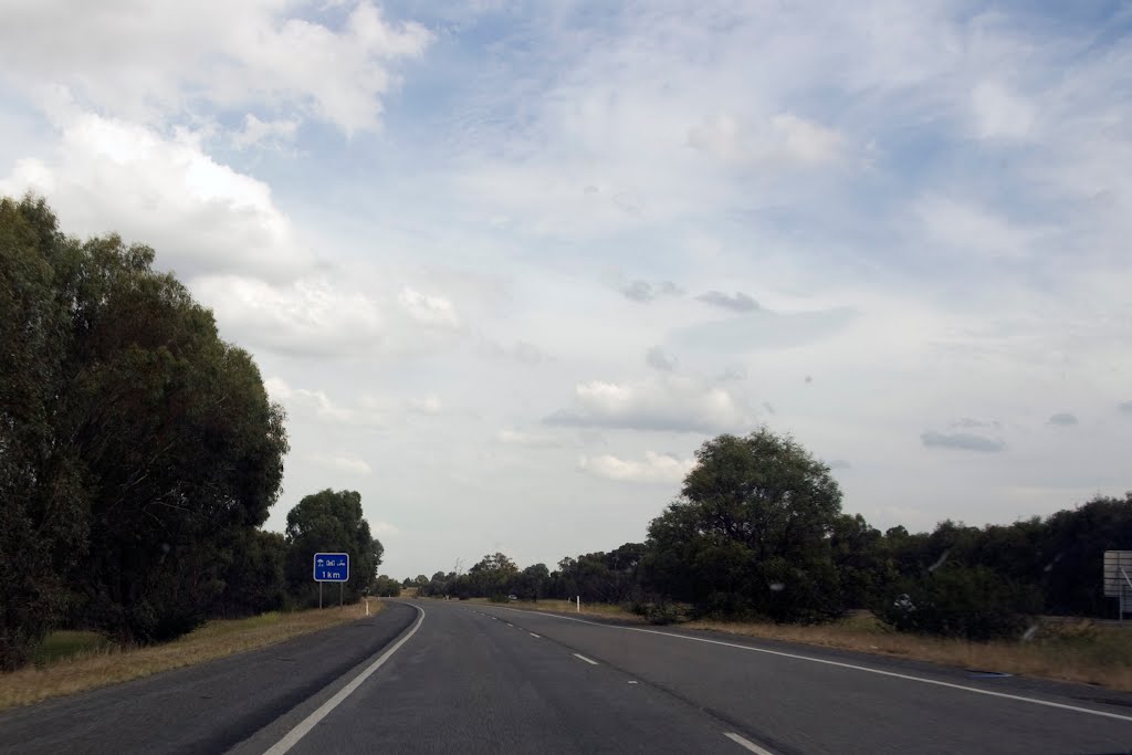
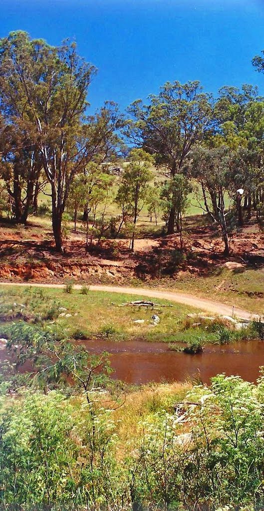
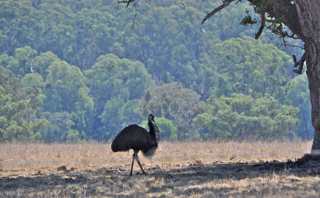
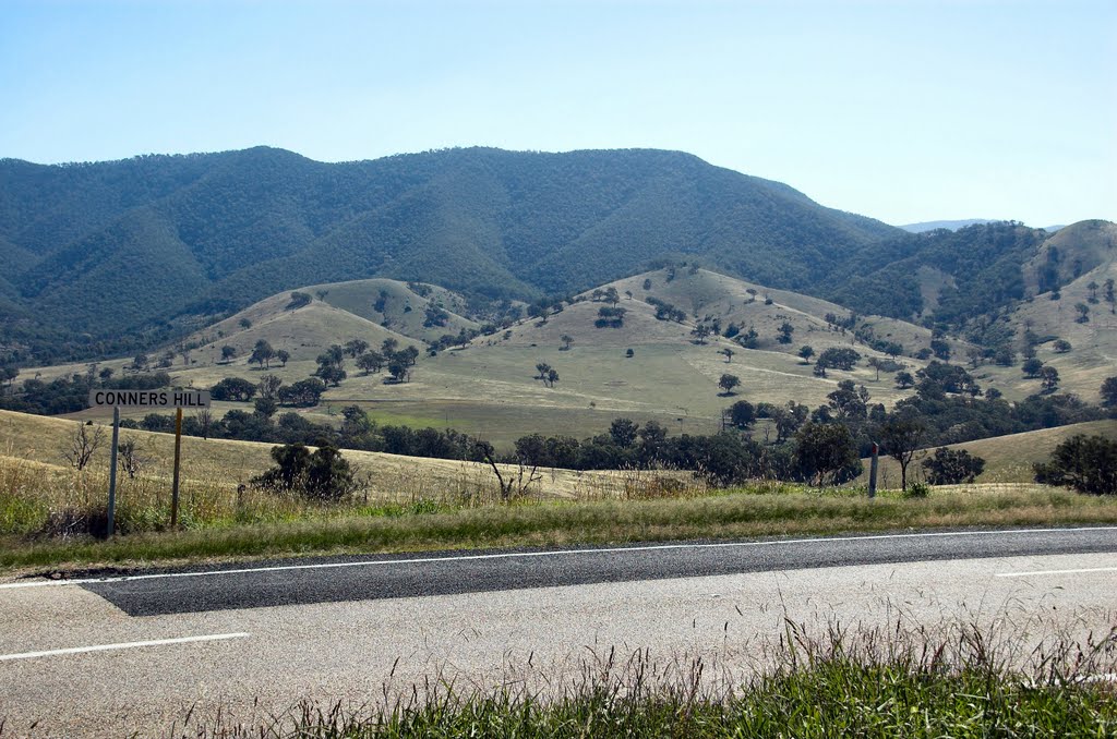
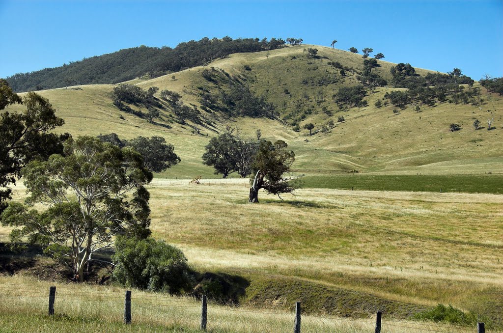
Photos of Londrigan
Londrigan Weather

Predicción: Overcast clouds
Temperatura: 10.6°
Humedad: 66%
Hora actual: 12:00 AM
Amanece: 08:40 PM
Anochece: 07:47 AM
Tambo Crossing, Australia
Latitude: -37.497 // Longitude: 147.84
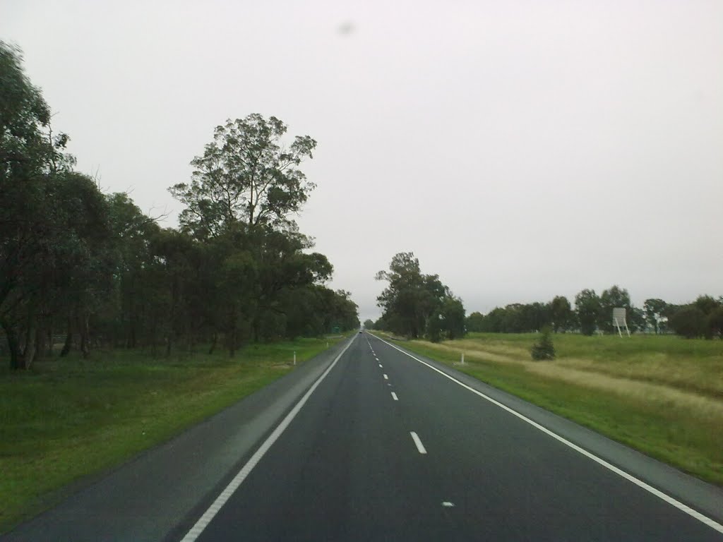
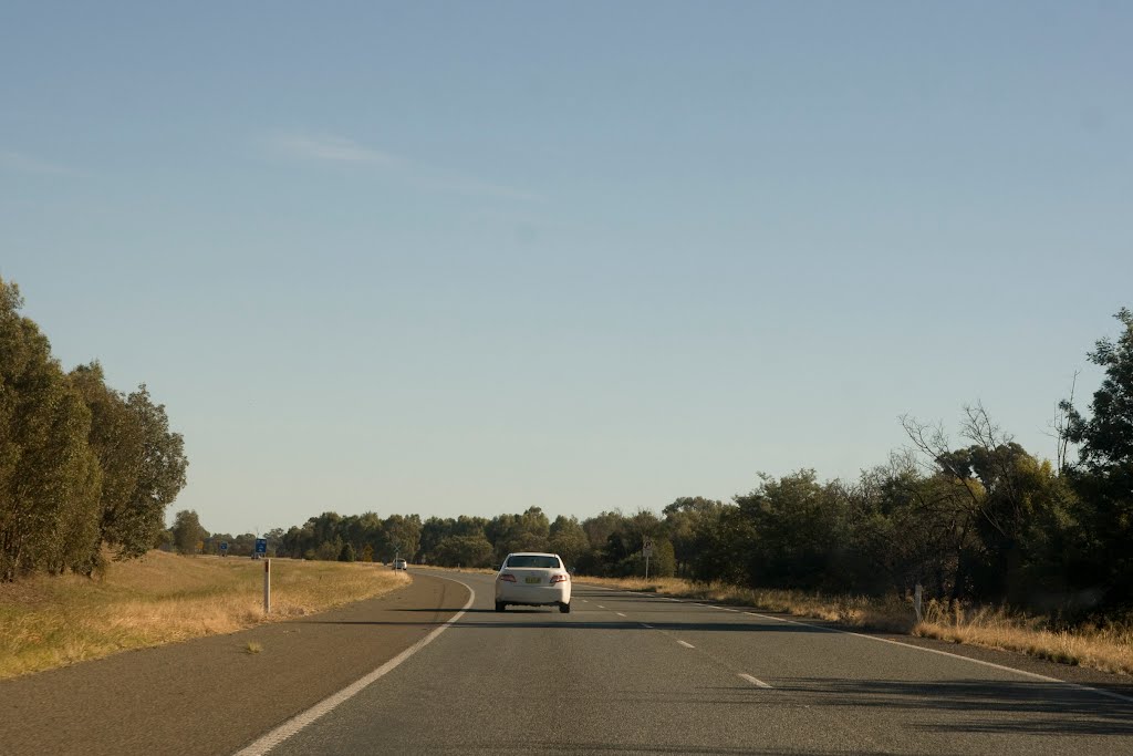
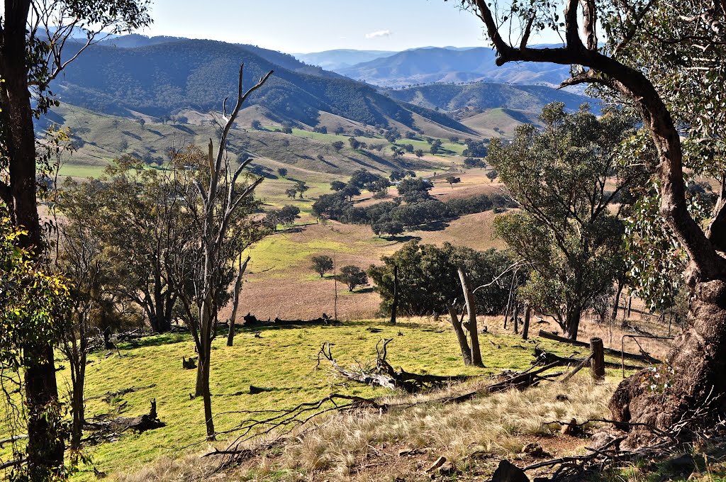
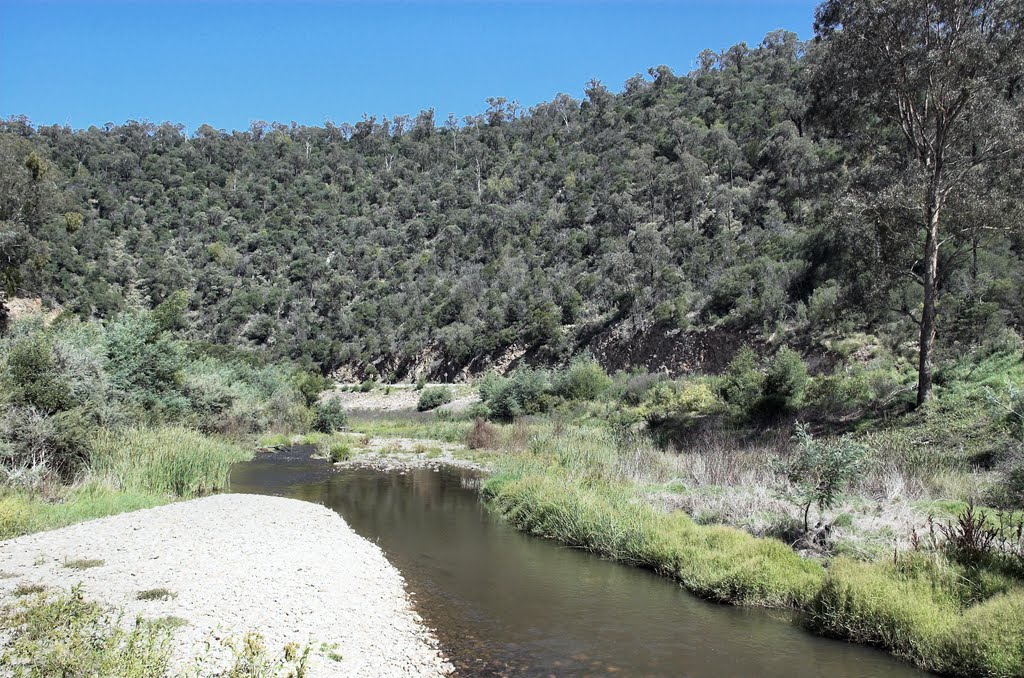
Photos of Tambo Crossing
Tambo Crossing Weather

Predicción: Overcast clouds
Temperatura: 13.7°
Humedad: 83%
Hora actual: 12:00 AM
Amanece: 08:36 PM
Anochece: 07:40 AM


