Distance between  Llowalong and
  Gormandale
31.57 mi Straight Distance
46.84 mi Driving Distance
1 hour 5 mins Estimated Driving Time
The straight distance between Llowalong (Victoria) and Gormandale (Victoria) is 31.57 mi, but the driving distance is 46.84 mi.
It takes 1 hour 0 mins to go from Llowalong to Gormandale.
Driving directions from Llowalong to Gormandale
Distance in kilometers
Straight distance: 50.80 km. Route distance: 75.37 km
Llowalong, Australia
Latitude: -37.9185 // Longitude: 147.031
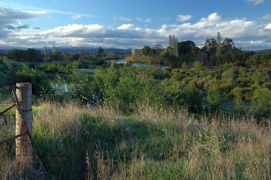
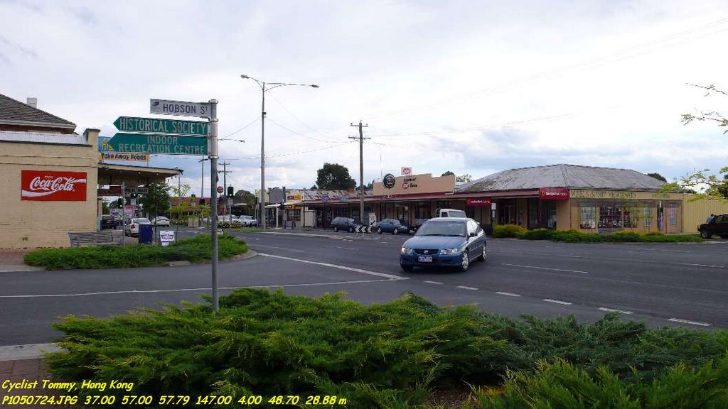
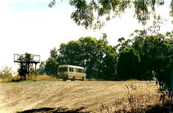
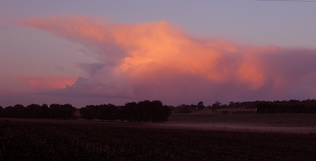
Photos of Llowalong
Llowalong Weather

Predicción: Broken clouds
Temperatura: 13.0°
Humedad: 91%
Hora actual: 06:43 PM
Amanece: 06:39 AM
Anochece: 05:43 PM
Gormandale, Australia
Latitude: -38.295 // Longitude: 146.702
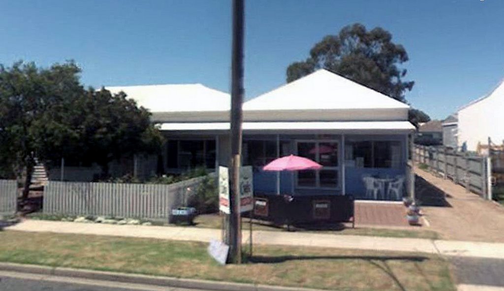
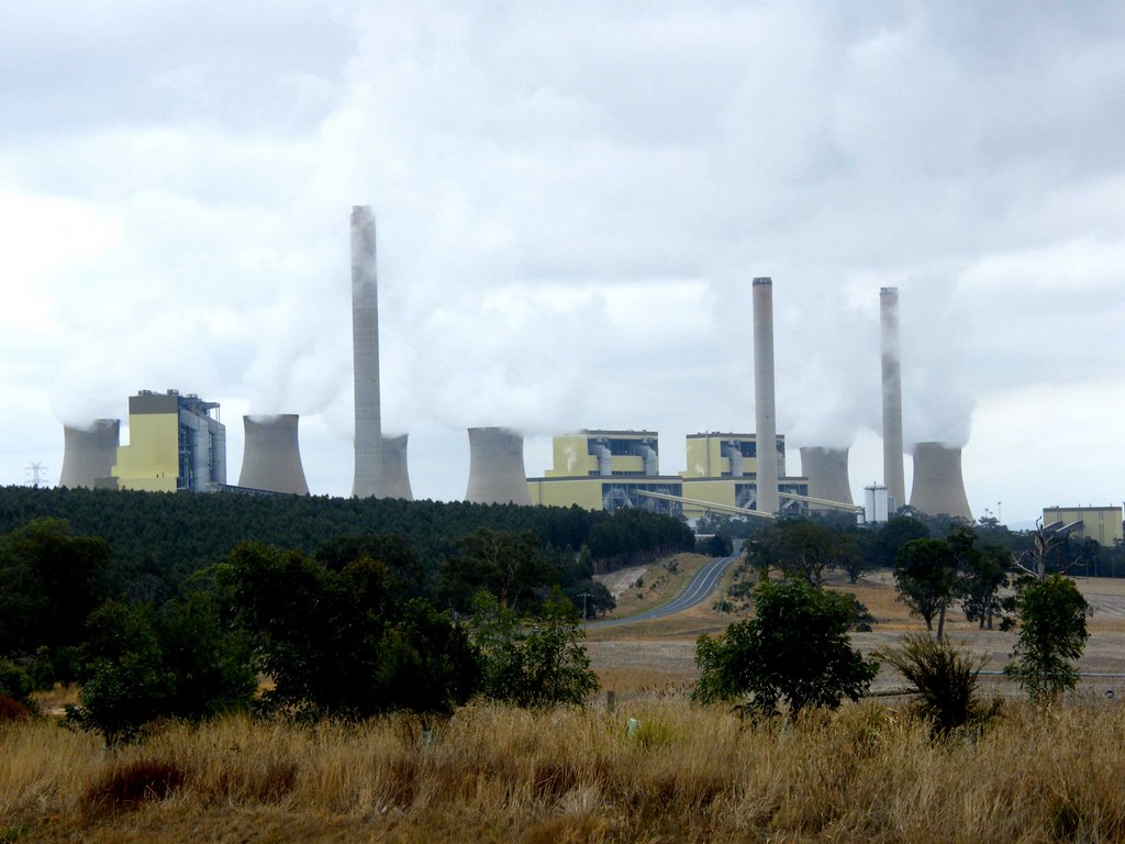
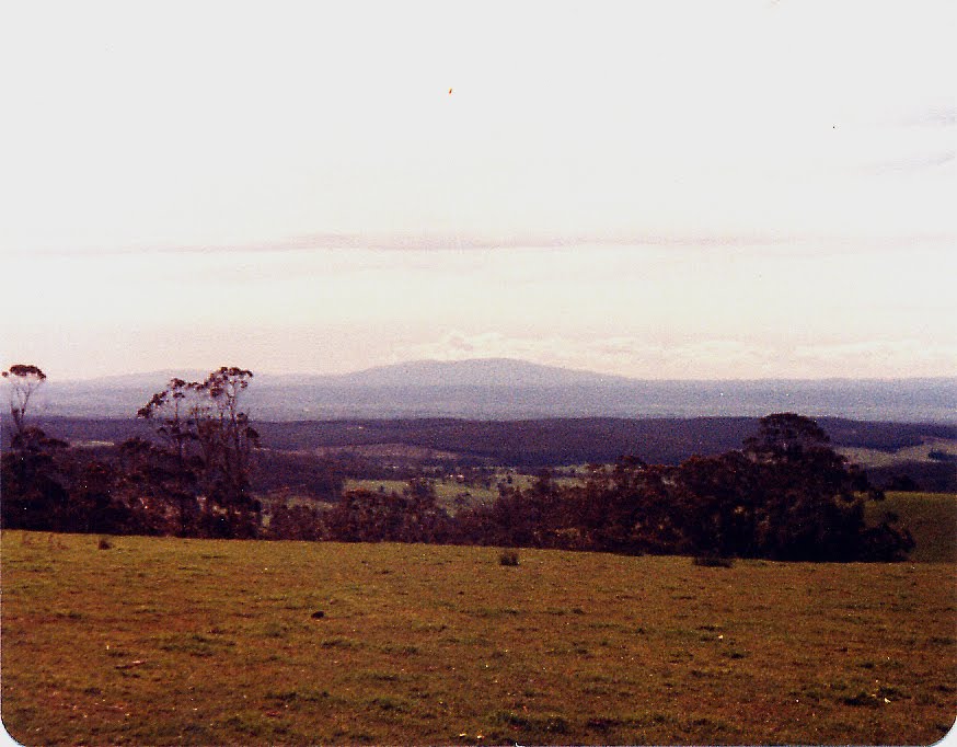
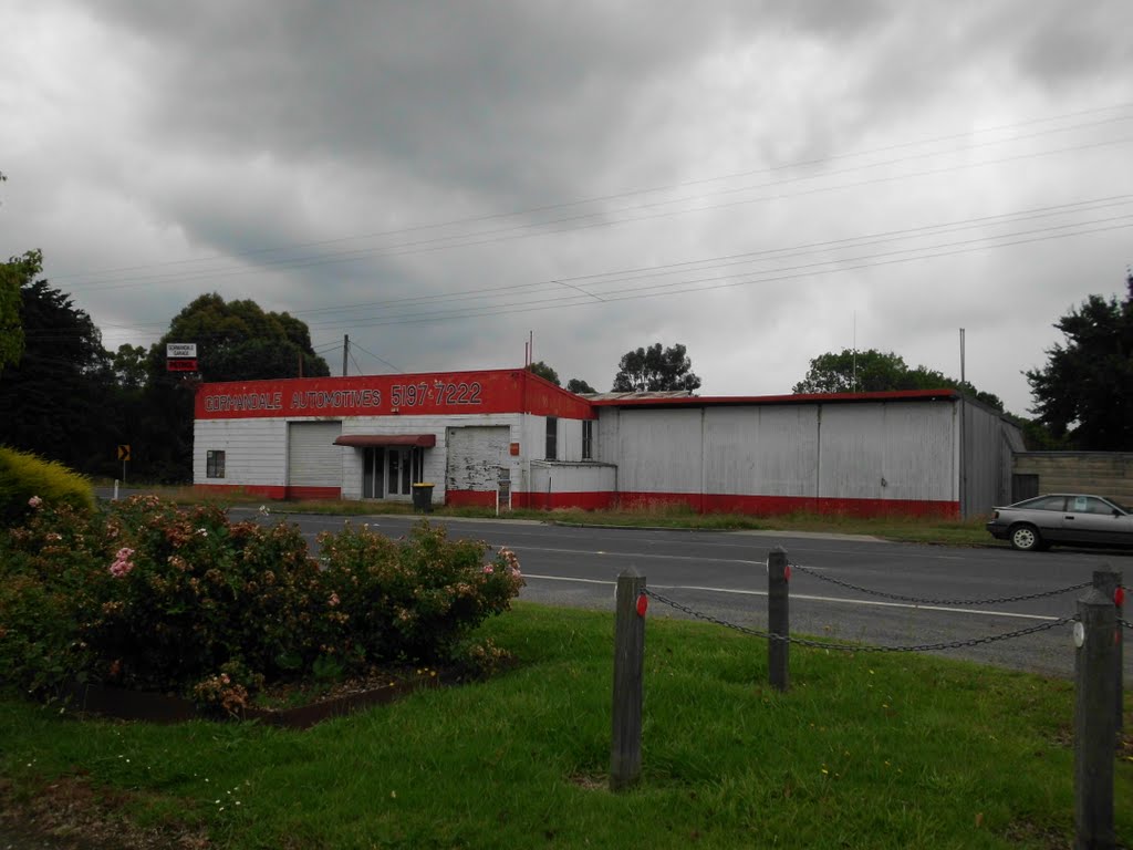
Photos of Gormandale
Gormandale Weather

Predicción: Broken clouds
Temperatura: 9.8°
Humedad: 98%
Hora actual: 10:00 AM
Amanece: 06:41 AM
Anochece: 05:44 PM


