Distance between  Lillicur and
  Eaglehawk North
51.36 mi Straight Distance
63.15 mi Driving Distance
1 hour 35 mins Estimated Driving Time
The straight distance between Lillicur (Victoria) and Eaglehawk North (Victoria) is 51.36 mi, but the driving distance is 63.15 mi.
It takes to go from Lillicur to Eaglehawk North.
Driving directions from Lillicur to Eaglehawk North
Distance in kilometers
Straight distance: 82.64 km. Route distance: 101.62 km
Lillicur, Australia
Latitude: -37.1642 // Longitude: 143.545
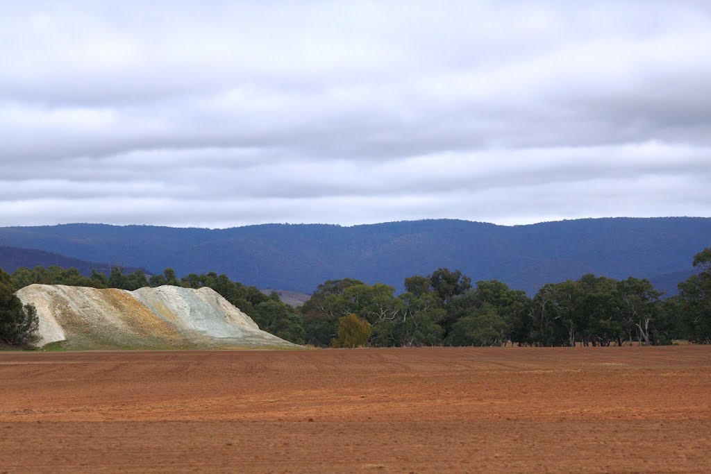
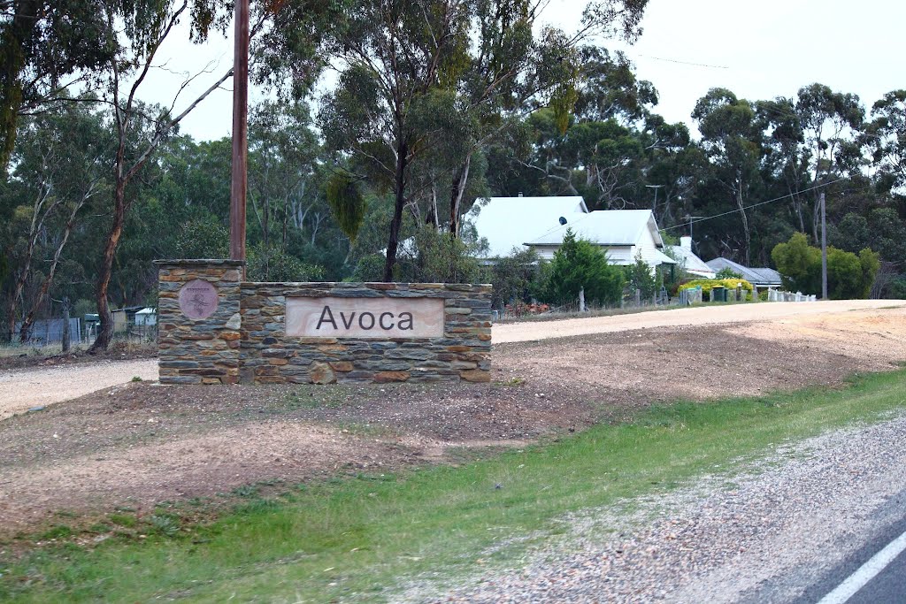
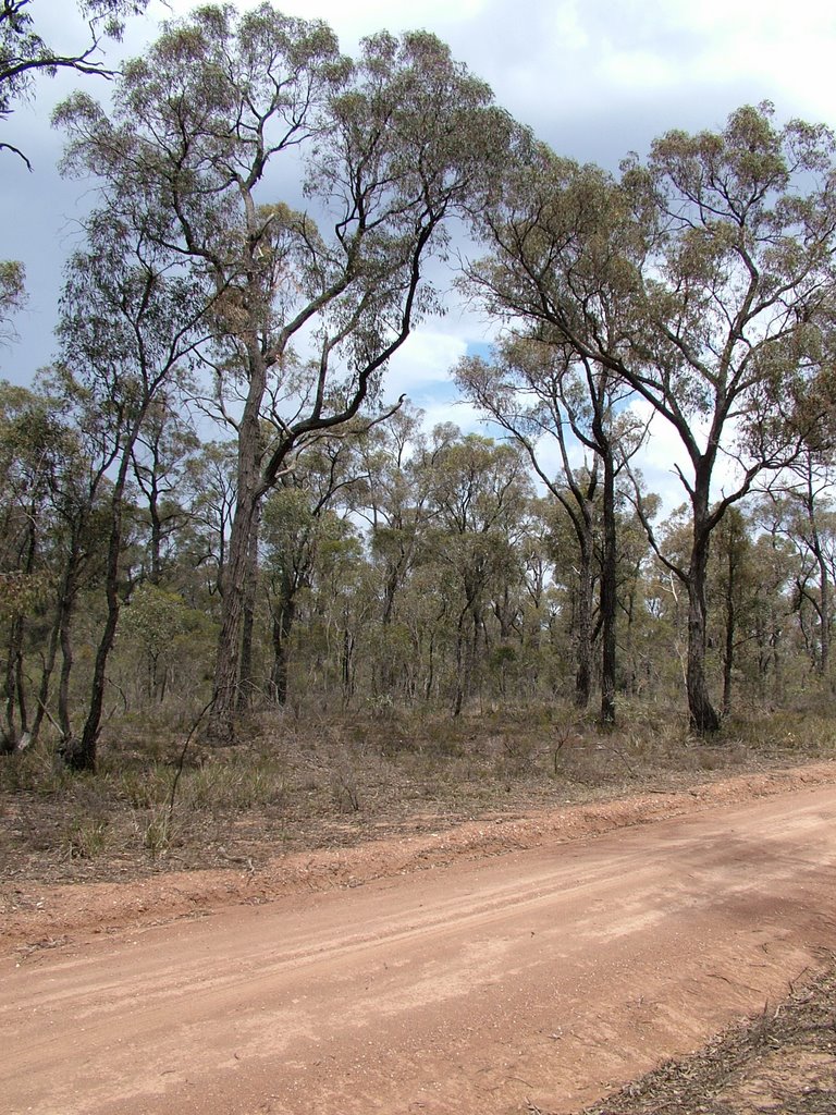
Photos of Lillicur
Lillicur Weather

Predicción: Overcast clouds
Temperatura: 14.7°
Humedad: 57%
Hora actual: 12:00 AM
Amanece: 08:54 PM
Anochece: 07:55 AM
Eaglehawk North, Australia
Latitude: -36.6833 // Longitude: 144.254
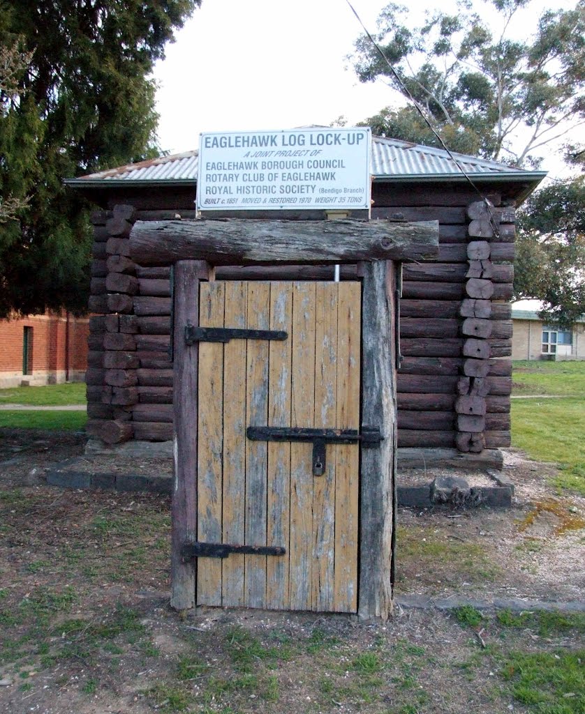
Photos of Eaglehawk North
Eaglehawk North Weather

Predicción: Broken clouds
Temperatura: 16.6°
Humedad: 44%
Hora actual: 03:37 PM
Amanece: 06:51 AM
Anochece: 05:53 PM


