Distance between  Lewiston and
  Corny Point
88.77 mi Straight Distance
144.26 mi Driving Distance
2 hours 32 mins Estimated Driving Time
The straight distance between Lewiston (South Australia) and Corny Point (South Australia) is 88.77 mi, but the driving distance is 144.26 mi.
It takes to go from Lewiston to Corny Point.
Driving directions from Lewiston to Corny Point
Distance in kilometers
Straight distance: 142.83 km. Route distance: 232.11 km
Lewiston, Australia
Latitude: -34.5912 // Longitude: 138.593
Photos of Lewiston
Lewiston Weather

Predicción: Clear sky
Temperatura: 20.5°
Humedad: 60%
Hora actual: 04:48 PM
Amanece: 06:39 AM
Anochece: 05:50 PM
Corny Point, Australia
Latitude: -34.9254 // Longitude: 137.083
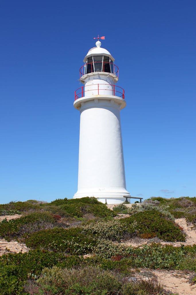
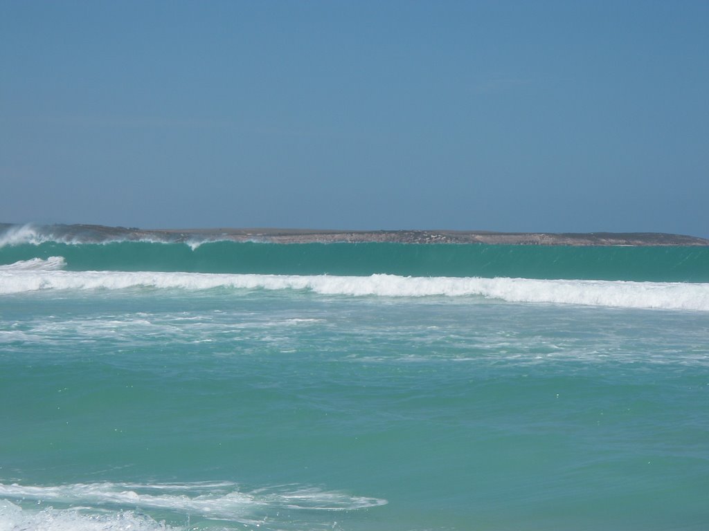
Photos of Corny Point
Corny Point Weather

Predicción: Few clouds
Temperatura: 19.0°
Humedad: 55%
Hora actual: 09:30 AM
Amanece: 06:46 AM
Anochece: 05:56 PM


