Distance between  Lewiston and
  Coonalpyn
104.54 mi Straight Distance
119.93 mi Driving Distance
2 hours 10 mins Estimated Driving Time
The straight distance between Lewiston (South Australia) and Coonalpyn (South Australia) is 104.54 mi, but the driving distance is 119.93 mi.
It takes 2 hours 23 mins to go from Lewiston to Coonalpyn.
Driving directions from Lewiston to Coonalpyn
Distance in kilometers
Straight distance: 168.21 km. Route distance: 192.96 km
Lewiston, Australia
Latitude: -34.5912 // Longitude: 138.593
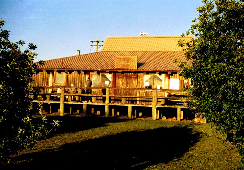
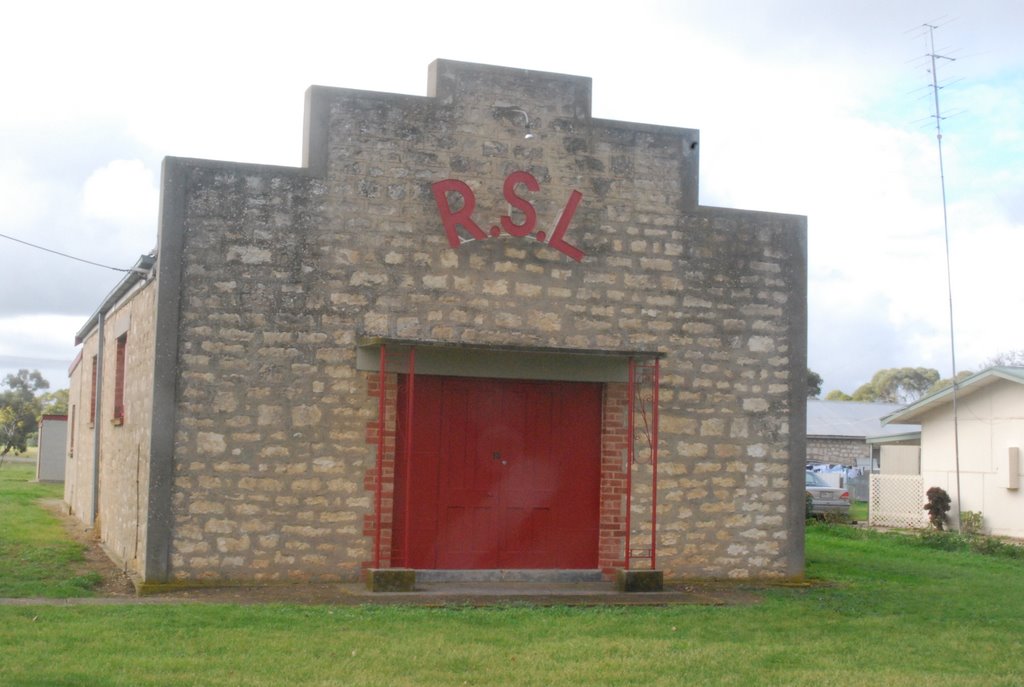
Photos of Lewiston
Lewiston Weather

Predicción: Overcast clouds
Temperatura: 15.8°
Humedad: 94%
Hora actual: 01:42 AM
Amanece: 06:42 AM
Anochece: 05:47 PM
Coonalpyn, Australia
Latitude: -35.6963 // Longitude: 139.857
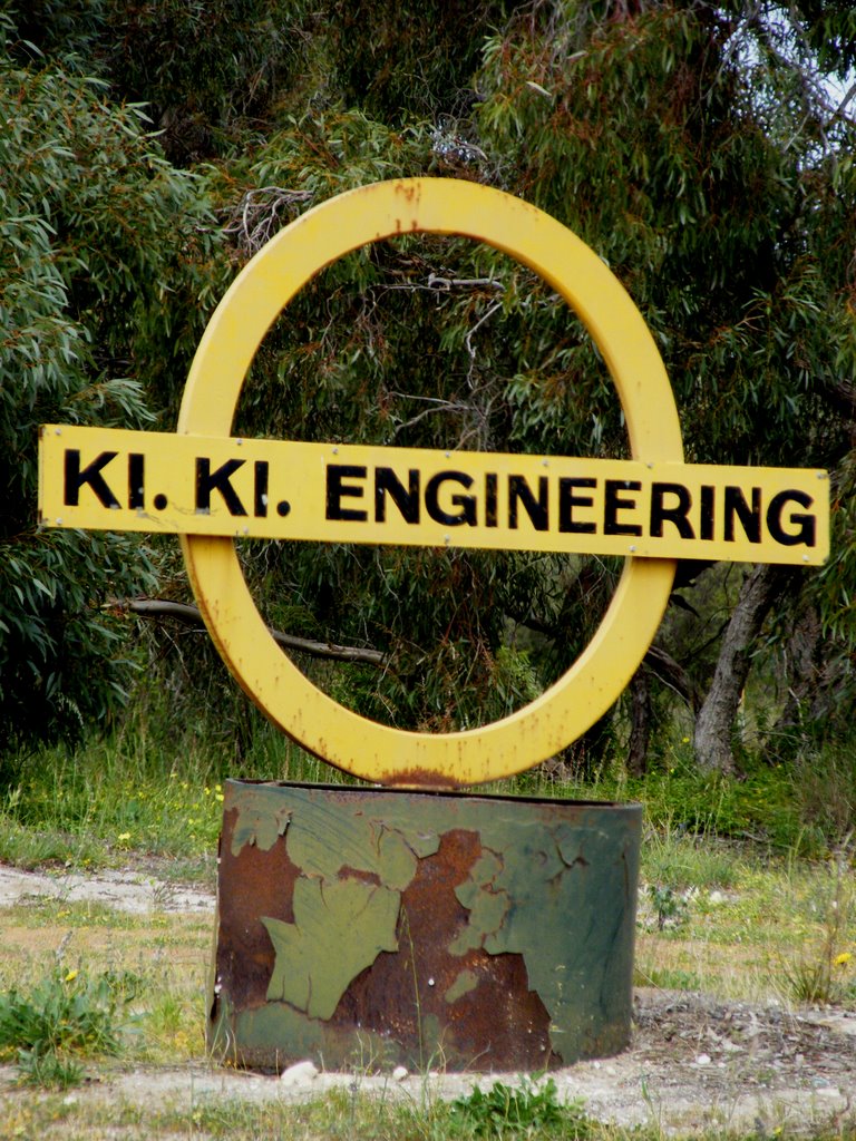
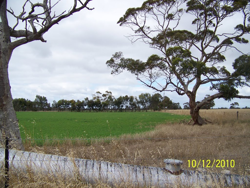
Photos of Coonalpyn
Coonalpyn Weather

Predicción: Overcast clouds
Temperatura: 14.0°
Humedad: 83%
Hora actual: 09:30 AM
Amanece: 06:38 AM
Anochece: 05:40 PM


