Distance between  Lewisham and
  Hagley
97.26 mi Straight Distance
124.72 mi Driving Distance
2 hours 19 mins Estimated Driving Time
The straight distance between Lewisham (Tasmania) and Hagley (Tasmania) is 97.26 mi, but the driving distance is 124.72 mi.
It takes to go from Lewisham to Hagley.
Driving directions from Lewisham to Hagley
Distance in kilometers
Straight distance: 156.49 km. Route distance: 200.68 km
Lewisham, Australia
Latitude: -42.8333 // Longitude: 147.61
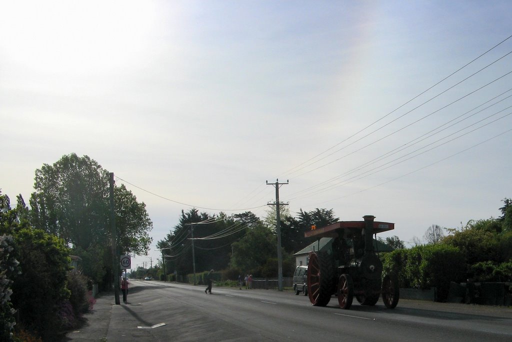
Photos of Lewisham
Lewisham Weather

Predicción: Broken clouds
Temperatura: 14.1°
Humedad: 62%
Hora actual: 12:32 PM
Amanece: 06:46 AM
Anochece: 05:30 PM
Hagley, Australia
Latitude: -41.5268 // Longitude: 146.903
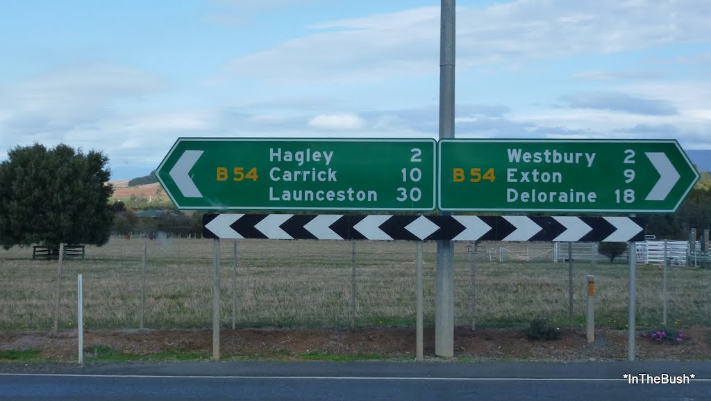
Photos of Hagley
Hagley Weather

Predicción: Clear sky
Temperatura: 15.8°
Humedad: 63%
Hora actual: 12:32 PM
Amanece: 06:47 AM
Anochece: 05:35 PM


