Distance between  Leinster and
  Port Gawler
1,146.80 mi Straight Distance
1,560.44 mi Driving Distance
1 day 1 hour Estimated Driving Time
The straight distance between Leinster (Western Australia) and Port Gawler (South Australia) is 1,146.80 mi, but the driving distance is 1,560.44 mi.
It takes to go from Leinster to Port Gawler.
Driving directions from Leinster to Port Gawler
Distance in kilometers
Straight distance: 1,845.20 km. Route distance: 2,510.75 km
Leinster, Australia
Latitude: -27.9128 // Longitude: 120.697
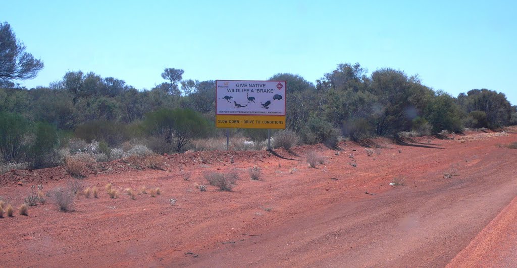
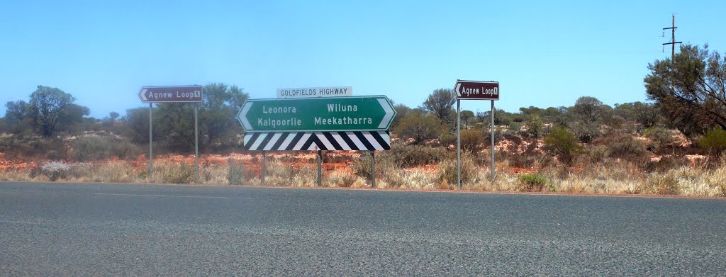
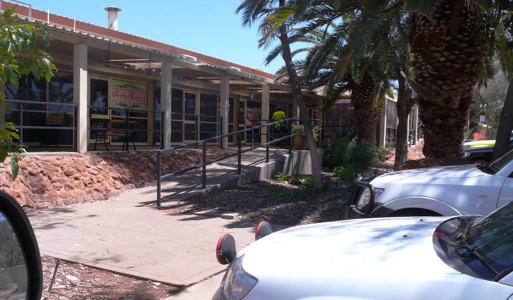
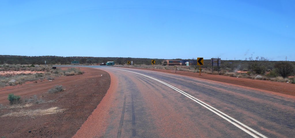
Photos of Leinster
Leinster Weather

Predicción: Clear sky
Temperatura: 14.1°
Humedad: 51%
Hora actual: 04:39 AM
Amanece: 06:16 AM
Anochece: 05:35 PM
Port Gawler, Australia
Latitude: -34.634 // Longitude: 138.494
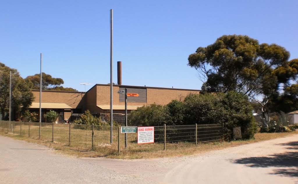
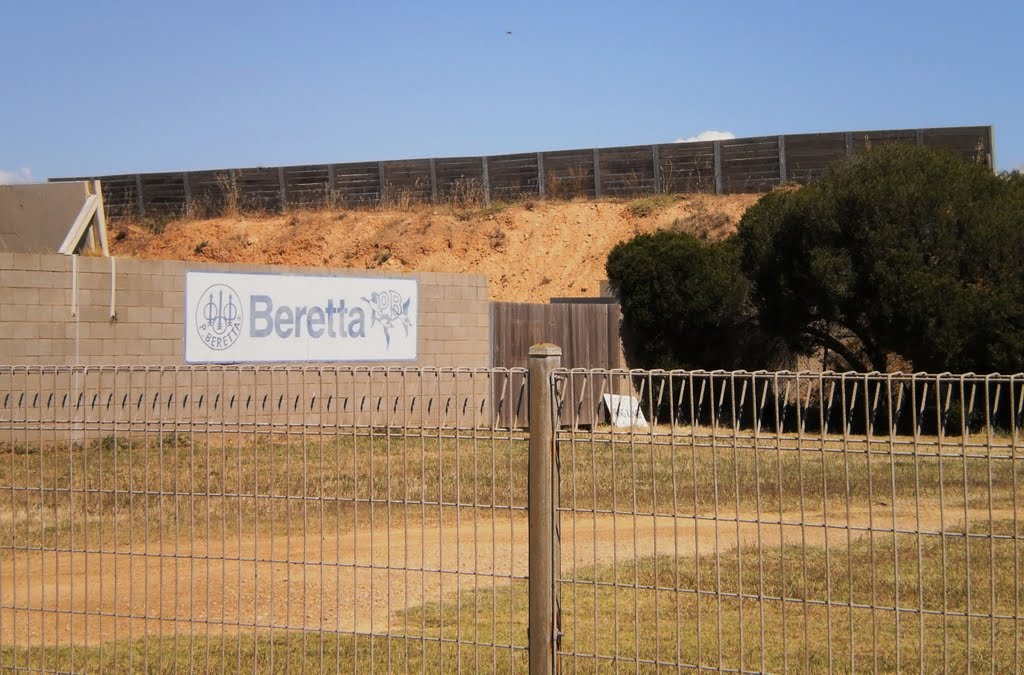
Photos of Port Gawler
Port Gawler Weather

Predicción: Broken clouds
Temperatura: 12.6°
Humedad: 86%
Hora actual: 06:09 AM
Amanece: 06:42 AM
Anochece: 05:47 PM


